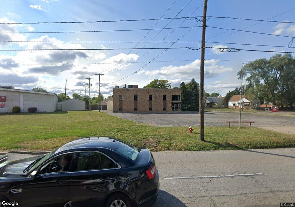
5267 N Detroit Ave Toledo, OH 43612
North Towne NeighborhoodEstimated Value: $74,060
--
Bed
--
Bath
3,680
Sq Ft
$20/Sq Ft
Est. Value
About This Home
This home is located at 5267 N Detroit Ave, Toledo, OH 43612 and is currently priced at $74,060, approximately $20 per square foot. 5267 N Detroit Ave is a home located in Lucas County with nearby schools including Greenwood Elementary School, Jefferson Junior High School, and Washington Junior High School.
Ownership History
Date
Name
Owned For
Owner Type
Purchase Details
Closed on
Sep 27, 2024
Sold by
Fisher Nathaniel
Bought by
Nathaniel Fisher Living Trust and Fisher
Current Estimated Value
Purchase Details
Closed on
Dec 1, 2023
Sold by
Rr Squared Enterprises Llc
Bought by
Fisher Nathaniel
Purchase Details
Closed on
Feb 15, 2022
Sold by
Fuller Randall R
Bought by
Rr Squared Enterprises Llc
Purchase Details
Closed on
Sep 19, 2012
Sold by
American Legion North End Post 576
Bought by
Mannebach Scott
Create a Home Valuation Report for This Property
The Home Valuation Report is an in-depth analysis detailing your home's value as well as a comparison with similar homes in the area
Home Values in the Area
Average Home Value in this Area
Purchase History
| Date | Buyer | Sale Price | Title Company |
|---|---|---|---|
| Nathaniel Fisher Living Trust | -- | None Listed On Document | |
| Fisher Nathaniel | $135,000 | Black Tie Title | |
| Rr Squared Enterprises Llc | $65,000 | Hart James H | |
| Mannebach Scott | $30,300 | None Available |
Source: Public Records
Tax History Compared to Growth
Tax History
| Year | Tax Paid | Tax Assessment Tax Assessment Total Assessment is a certain percentage of the fair market value that is determined by local assessors to be the total taxable value of land and additions on the property. | Land | Improvement |
|---|---|---|---|---|
| 2024 | $1,299 | $29,785 | $1,190 | $28,595 |
| 2023 | $1,149 | $10,640 | $5,495 | $5,145 |
| 2022 | $1,143 | $10,640 | $5,495 | $5,145 |
| 2021 | $1,150 | $10,640 | $5,495 | $5,145 |
| 2020 | $1,175 | $10,045 | $5,180 | $4,865 |
| 2019 | $1,134 | $10,045 | $5,180 | $4,865 |
| 2018 | $1,033 | $10,045 | $5,180 | $4,865 |
| 2017 | $1,016 | $9,555 | $4,900 | $4,655 |
| 2016 | $1,012 | $27,300 | $14,000 | $13,300 |
| 2015 | $1,007 | $27,300 | $14,000 | $13,300 |
| 2014 | $796 | $9,560 | $4,900 | $4,660 |
| 2013 | $796 | $9,560 | $4,900 | $4,660 |
Source: Public Records
Map
Nearby Homes
- 302 Warrington Rd
- 7 E Capistrano Ave
- 432 W Northgate Pkwy
- 426 Southdale Rd
- 303 W Crawford Ave
- 5053 Bennett Rd
- 535 Waybridge Rd
- 602 W Northgate Pkwy
- 331 California Blvd
- 219 Sunset Blvd
- 202 Waggoner Blvd
- 702 Mayfair Blvd
- 218 Waggoner Blvd
- 265 Wallingford Rd
- 4912 Burnham Ave
- 5917 Pepperell Place
- 736 W Northgate Pkwy
- 326 Waggoner Blvd
- 613 W Poinsetta Ave
- 741 Cloverdale Rd
- 312 Warrington Rd
- 246 Warrington Rd
- 309 Warrington Rd
- 315 Warrington Rd
- 305 Warrington Rd
- 301 Warrington Rd
- 238 Warrington Rd
- 245 Warrington Rd
- 5311 N Detroit Ave
- 241 Warrington Rd
- 234 Warrington Rd
- 316 Willamont Rd
- 237 Warrington Rd
- 324 Willamont Rd
- 302 Willamont Rd
- 230 Warrington Rd
- 304 Willamont Rd
- 233 Warrington Rd
- 306 Willamont Rd
- 226 Warrington Rd