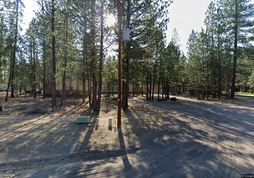
52696 Ammon Rd La Pine, OR 97739
Estimated Value: $503,000 - $661,000
3
Beds
1
Bath
1,916
Sq Ft
$292/Sq Ft
Est. Value
About This Home
This home is located at 52696 Ammon Rd, La Pine, OR 97739 and is currently estimated at $558,849, approximately $291 per square foot. 52696 Ammon Rd is a home located in Deschutes County with nearby schools including Rosland Elementary School, La Pine Middle School, and La Pine Senior High School.
Ownership History
Date
Name
Owned For
Owner Type
Purchase Details
Closed on
Nov 20, 2017
Sold by
Cason Carole L and Cason Daniel M
Bought by
Cason Carole L
Current Estimated Value
Purchase Details
Closed on
May 12, 2008
Sold by
Cason Daniel M and Cason Carole L
Bought by
Cason Daniel M
Home Financials for this Owner
Home Financials are based on the most recent Mortgage that was taken out on this home.
Original Mortgage
$466,500
Interest Rate
3.12%
Mortgage Type
Reverse Mortgage Home Equity Conversion Mortgage
Create a Home Valuation Report for This Property
The Home Valuation Report is an in-depth analysis detailing your home's value as well as a comparison with similar homes in the area
Home Values in the Area
Average Home Value in this Area
Purchase History
| Date | Buyer | Sale Price | Title Company |
|---|---|---|---|
| Cason Carole L | -- | None Available | |
| Cason Daniel M | -- | Accommodation |
Source: Public Records
Mortgage History
| Date | Status | Borrower | Loan Amount |
|---|---|---|---|
| Closed | Cason Daniel M | $466,500 |
Source: Public Records
Tax History
| Year | Tax Paid | Tax Assessment Tax Assessment Total Assessment is a certain percentage of the fair market value that is determined by local assessors to be the total taxable value of land and additions on the property. | Land | Improvement |
|---|---|---|---|---|
| 2025 | $3,973 | $249,340 | -- | -- |
| 2024 | $3,812 | $242,080 | -- | -- |
| 2023 | $3,683 | $235,030 | $0 | $0 |
| 2022 | $3,285 | $221,550 | $0 | $0 |
| 2021 | $3,304 | $215,100 | $0 | $0 |
| 2020 | $3,497 | $215,100 | $0 | $0 |
| 2019 | $3,400 | $208,840 | $0 | $0 |
| 2018 | $3,303 | $202,760 | $0 | $0 |
| 2017 | $3,216 | $196,860 | $0 | $0 |
| 2016 | $3,068 | $191,130 | $0 | $0 |
| 2015 | $2,983 | $185,570 | $0 | $0 |
| 2014 | $2,819 | $180,170 | $0 | $0 |
Source: Public Records
Map
Nearby Homes
- 52739 Ammon Rd
- 17545 Holgate Ct
- 52628 Ammon Rd
- 17575 Sutter St
- 52615 Railroad St
- 52644 Skidgel Rd
- 0 Skidgel Rd Unit 220152152
- 52702 Oak Dr
- 52459 Medill Ct
- 52585 Antler Ln
- 16760 Pine Place
- 16762 Sandy Ct
- 52844 Timber Lane Loop
- 53262 Riverview Dr
- 51915 Swiss
- 16650 Willow Ln
- 53345 Riverview Dr
- 52356 Allen Dr
- 0 Tl 211107b000108 Tl 211106c00 Unit 220214691
- 52485 Huntington Rd
