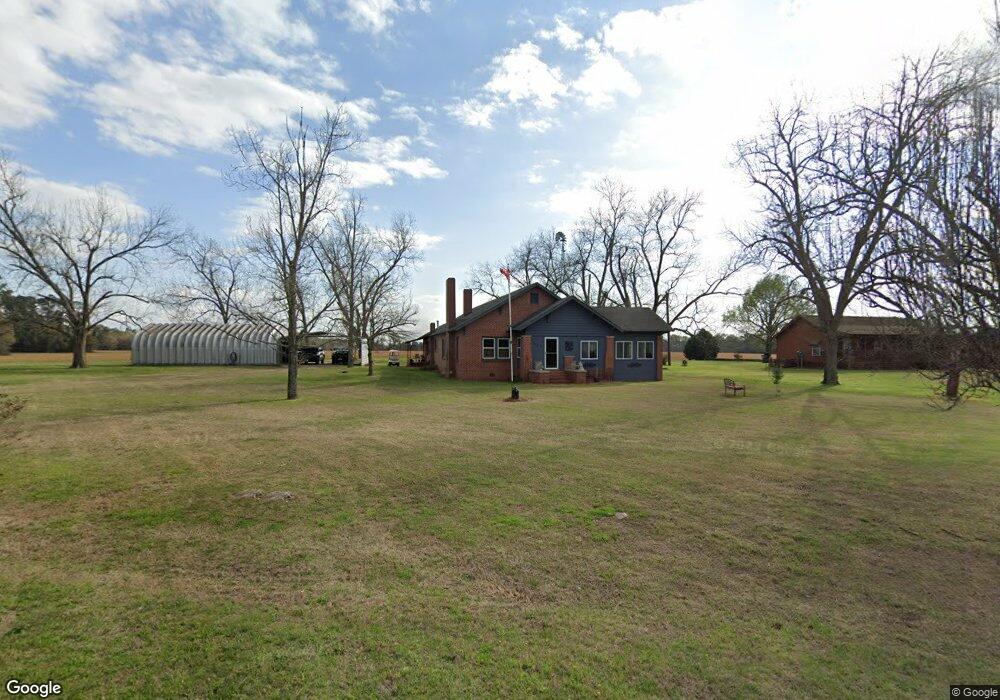
527 Antioch Rd Cordele, GA 31015
Estimated Value: $261,251 - $382,000
3
Beds
3
Baths
2,296
Sq Ft
$140/Sq Ft
Est. Value
About This Home
This home is located at 527 Antioch Rd, Cordele, GA 31015 and is currently estimated at $322,563, approximately $140 per square foot. 527 Antioch Rd is a home located in Crisp County with nearby schools including Crisp County Primary School, Crisp County Elementary School, and Crisp County Middle School.
Ownership History
Date
Name
Owned For
Owner Type
Purchase Details
Closed on
Jul 10, 2020
Sold by
Blalock Billy J
Bought by
Williams Deborah C
Current Estimated Value
Purchase Details
Closed on
May 11, 1992
Bought by
Volz James and Volz Pam
Purchase Details
Closed on
Jul 3, 1987
Bought by
Posey Terrell F
Create a Home Valuation Report for This Property
The Home Valuation Report is an in-depth analysis detailing your home's value as well as a comparison with similar homes in the area
Home Values in the Area
Average Home Value in this Area
Purchase History
| Date | Buyer | Sale Price | Title Company |
|---|---|---|---|
| Williams Deborah C | $220,850 | -- | |
| Volz James | $34,000 | -- | |
| Posey Terrell F | $39,000 | -- |
Source: Public Records
Tax History Compared to Growth
Tax History
| Year | Tax Paid | Tax Assessment Tax Assessment Total Assessment is a certain percentage of the fair market value that is determined by local assessors to be the total taxable value of land and additions on the property. | Land | Improvement |
|---|---|---|---|---|
| 2024 | $1,839 | $83,230 | $3,348 | $79,882 |
| 2023 | $1,774 | $78,610 | $3,348 | $75,262 |
| 2022 | $2,040 | $74,638 | $2,678 | $71,960 |
| 2021 | $2,082 | $70,205 | $2,678 | $67,527 |
| 2020 | $2,026 | $70,205 | $2,678 | $67,527 |
| 2019 | $2,013 | $70,205 | $2,678 | $67,527 |
| 2018 | $1,813 | $61,209 | $3,991 | $57,218 |
| 2017 | $1,882 | $61,209 | $3,991 | $57,218 |
| 2016 | $1,818 | $61,209 | $3,991 | $57,218 |
| 2015 | -- | $61,209 | $3,991 | $57,218 |
| 2014 | -- | $61,209 | $3,991 | $57,218 |
| 2013 | -- | $61,208 | $3,990 | $57,218 |
Source: Public Records
Map
Nearby Homes
- TBD Arabi Warwick Rd
- 718 Jamestown Rd
- 501 Southern Lakes Dr
- 221 1st St W
- 104 4th St
- 2776 2776 S Ga 41 Hwy
- 1617 Antioch Rd
- 2608 U S 41
- 317 Mill Branch Rd
- 130 Swift Creek Rd
- 000 Swift Creek Rd
- 303 Mill Branch Rd
- 0 Arabi Warwick Rd
- 000 Bream Rd
- 102 Perch Dr
- 198 Swift Creek Rd
- 144 Bryant Rd
- 141 Ruby St
- 112 Judy Ave
- 2298 U S 41