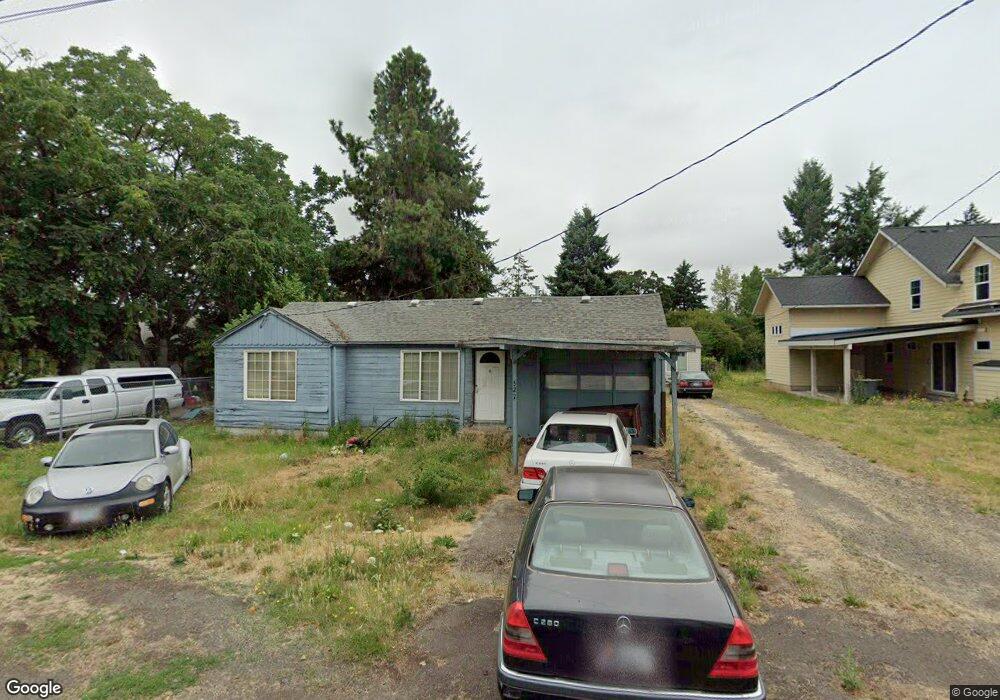
527 Bushnell Ln Eugene, OR 97404
River Road NeighborhoodEstimated Value: $309,000 - $426,000
About This Home
This home is located at 527 Bushnell Ln, Eugene, OR 97404 and is currently estimated at $359,640, approximately $274 per square foot. 527 Bushnell Ln is a home located in Lane County with nearby schools including Irving Elementary School, Shasta Middle School, and Willamette High School.
Ownership History
We collect this data history from publicly available records. To have your information removed, we recommend requesting removal directly through your county’s website.
Purchase Details
Purchase Details
Home Financials for this Owner
Home Financials are based on the most recent Mortgage that was taken out on this home.Home Values in the Area
Average Home Value in this Area
Purchase History
We collect this data history from publicly available records. To have your information removed, we recommend requesting removal directly through your county’s website.
| Date | Buyer | Sale Price | Title Company |
|---|---|---|---|
| -- | Fidelity National Title Insu | ||
| -- | Western Pioneer Title Co |
Mortgage History
We collect this data history from publicly available records. To have your information removed, we recommend requesting removal directly through your county’s website.
| Date | Status | Borrower | Loan Amount |
|---|---|---|---|
| Previous Owner | $97,500 |
Tax History
We collect this data history from publicly available records. To have your information removed, we recommend requesting removal directly through your county’s website.
| Year | Tax Paid | Tax Assessment Tax Assessment Total Assessment is a certain percentage of the fair market value that is determined by local assessors to be the total taxable value of land and additions on the property. | Land | Improvement |
|---|---|---|---|---|
| 2025 | $2,280 | $154,967 | -- | -- |
| 2024 | $2,221 | $150,454 | -- | -- |
| 2023 | $2,221 | $146,072 | $0 | $0 |
| 2022 | $2,074 | $141,818 | $0 | $0 |
| 2021 | $2,023 | $137,688 | $0 | $0 |
| 2020 | $1,960 | $133,678 | $0 | $0 |
| 2019 | $1,856 | $129,785 | $0 | $0 |
| 2018 | $1,796 | $122,335 | $0 | $0 |
| 2017 | $1,733 | $122,335 | $0 | $0 |
| 2016 | $1,683 | $118,772 | $0 | $0 |
| 2015 | $1,661 | $115,313 | $0 | $0 |
| 2014 | $1,676 | $111,954 | $0 | $0 |
Map
- 1140 Molly Ln
- 325 Bushnell Ln
- 1764 Allea Dr
- 725 Heywood Ave
- 2488 Northampton
- 831 Greenwich Ave
- 1755 Brentwood Ave
- 1805 Hemlock St
- 1682 Hemlock St
- 907 Howard Ave
- 903 Howard Ave
- 1215 Irving Rd
- 2610 Crowther Dr
- 352 Ruby Ave
- 2562 Dover Dr
- 1565 Linwood St
- 445 Sterling Dr
- 2565 Dover Dr
- 2952 Shelby Way
- 3886 Aerial Way
- 2060 Delta St
- 2074 Delta St
- 535 Bushnell Ln
- 2088 Delta St
- 551 Bushnell Ln
- 528 Bushnell Ln
- 530 Bushnell Ln
- 2055 Delta St
- 2069 Delta St
- 2102 Delta St
- 1983 Debra Sue Ct
- 0 Debra Sue Ct
- 2083 Delta St
- 520 Bushnell Ln
- 570 Bushnell Ln
- 555 Hollyhock Ln
- 2097 Delta St
- 1975 Debra Sue Ct
- 2116 Delta St
- 558 Cottonwood Place
Ask me questions while you tour the home.