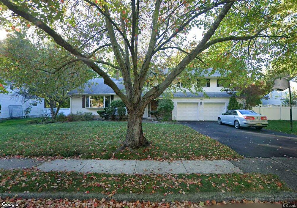
527 Hobart Rd Paramus, NJ 07652
Estimated Value: $1,159,626 - $1,260,000
Studio
--
Bath
2,910
Sq Ft
$417/Sq Ft
Est. Value
About This Home
This home is located at 527 Hobart Rd, Paramus, NJ 07652 and is currently estimated at $1,212,907, approximately $416 per square foot. 527 Hobart Rd is a home located in Bergen County with nearby schools including Paramus High School and Bergen Catholic High School.
Ownership History
Date
Name
Owned For
Owner Type
Purchase Details
Closed on
Oct 21, 2010
Sold by
Mintz Celina
Bought by
Nashed Hany and Nashed Mona
Current Estimated Value
Home Financials for this Owner
Home Financials are based on the most recent Mortgage that was taken out on this home.
Original Mortgage
$415,000
Interest Rate
4.35%
Mortgage Type
Purchase Money Mortgage
Purchase Details
Closed on
Oct 18, 2000
Bought by
Mintz Myron
Home Financials for this Owner
Home Financials are based on the most recent Mortgage that was taken out on this home.
Original Mortgage
$142,700
Interest Rate
7.88%
Purchase Details
Closed on
Sep 26, 2000
Bought by
Mintz Myron
Home Financials for this Owner
Home Financials are based on the most recent Mortgage that was taken out on this home.
Original Mortgage
$142,700
Interest Rate
7.88%
Create a Home Valuation Report for This Property
The Home Valuation Report is an in-depth analysis detailing your home's value as well as a comparison with similar homes in the area
Home Values in the Area
Average Home Value in this Area
Purchase History
| Date | Buyer | Sale Price | Title Company |
|---|---|---|---|
| Nashed Hany | $660,000 | -- | |
| Mintz Myron | -- | -- | |
| Mintz Myron | -- | -- | |
| Mintz Myron | -- | -- | |
| Mintz Myron | -- | -- |
Source: Public Records
Mortgage History
| Date | Status | Borrower | Loan Amount |
|---|---|---|---|
| Previous Owner | Nashed Hany | $415,000 | |
| Previous Owner | Mintz Myron | $142,700 | |
| Previous Owner | Mintz Myron | $210,000 |
Source: Public Records
Tax History
| Year | Tax Paid | Tax Assessment Tax Assessment Total Assessment is a certain percentage of the fair market value that is determined by local assessors to be the total taxable value of land and additions on the property. | Land | Improvement |
|---|---|---|---|---|
| 2025 | $13,718 | $941,300 | $464,600 | $476,700 |
| 2024 | $13,321 | $906,100 | $428,600 | $477,500 |
| 2023 | $12,639 | $868,400 | $408,000 | $460,400 |
| 2022 | $12,639 | $814,400 | $381,000 | $433,400 |
| 2021 | $12,220 | $738,800 | $340,000 | $398,800 |
| 2020 | $11,616 | $728,300 | $335,000 | $393,300 |
| 2019 | $11,420 | $615,300 | $290,400 | $324,900 |
| 2018 | $11,278 | $615,300 | $290,400 | $324,900 |
| 2017 | $11,082 | $615,300 | $290,400 | $324,900 |
| 2016 | $10,780 | $615,300 | $290,400 | $324,900 |
| 2015 | $10,669 | $615,300 | $290,400 | $324,900 |
| 2014 | $10,577 | $615,300 | $290,400 | $324,900 |
Source: Public Records
Map
Nearby Homes
- 6 Merrimack Ct
- 277 Columbia Terrace
- 261 Idaho St
- 216 E Midland Ave
- 327 E Midland Ave
- 322 E Midland Ave
- 676 Ridgewood Rd
- 492 Oaktree Rd
- 624 West Dr
- 922 Wildwood Rd
- 319 Franklin Place
- 623 Alberta Dr
- 461 Arthur Terrace
- 366 Spring Valley Rd
- 362 Harrison St
- 360 Valley View Ave
- 589 Fletcher Ave
- 378 S Terhune Ave
- 375 Burnet Place
- 333 Harrison St
- 531 Hobart Rd
- 523 Hobart Rd
- 530 Fordham Place
- 526 Fordham Place
- 534 Fordham Place
- 528 Hobart Rd
- 539 Hobart Rd
- 519 Hobart Rd
- 520 Hobart Rd
- 522 Fordham Place
- 536 Hobart Rd
- 1 Vanderbilt Ct
- 529 Clark Rd
- 517 Hobart Rd
- 529 Fordham Place
- 543 Hobart Rd
- 518 Fordham Place
- 533 Fordham Place
- 525 Fordham Place
- 537 Clark Rd
Your Personal Tour Guide
Ask me questions while you tour the home.