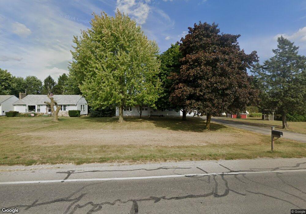
527 N Warpole St Upper Sandusky, OH 43351
Estimated Value: $172,635 - $197,000
2
Beds
1
Bath
1,248
Sq Ft
$147/Sq Ft
Est. Value
About This Home
This home is located at 527 N Warpole St, Upper Sandusky, OH 43351 and is currently estimated at $182,909, approximately $146 per square foot. 527 N Warpole St is a home located in Wyandot County with nearby schools including Upper Sandusky High School and St. Peter Elementary School.
Ownership History
Date
Name
Owned For
Owner Type
Purchase Details
Closed on
Jan 3, 2011
Sold by
Shuman Harold E and Shuman Donna M
Bought by
Shuman David E and Shuman Karen S
Current Estimated Value
Purchase Details
Closed on
Dec 7, 2010
Sold by
Shuman Harold E and Shuman Donna M
Bought by
Shuman David E and Shuman Karen S
Purchase Details
Closed on
Mar 14, 2002
Bought by
Shuman David E and Shuman Karen S
Purchase Details
Closed on
Apr 11, 2001
Bought by
Shuman David E and Shuman Karen S
Create a Home Valuation Report for This Property
The Home Valuation Report is an in-depth analysis detailing your home's value as well as a comparison with similar homes in the area
Home Values in the Area
Average Home Value in this Area
Purchase History
| Date | Buyer | Sale Price | Title Company |
|---|---|---|---|
| Shuman David E | -- | None Available | |
| Shuman David E | -- | None Available | |
| Shuman David E | $291,300 | -- | |
| Shuman David E | $291,300 | -- | |
| Shuman David E | -- | -- |
Source: Public Records
Tax History
| Year | Tax Paid | Tax Assessment Tax Assessment Total Assessment is a certain percentage of the fair market value that is determined by local assessors to be the total taxable value of land and additions on the property. | Land | Improvement |
|---|---|---|---|---|
| 2025 | $1,673 | $54,280 | $9,170 | $45,110 |
| 2024 | $1,488 | $45,690 | $7,750 | $37,940 |
| 2023 | $1,488 | $45,690 | $7,750 | $37,940 |
| 2022 | $1,488 | $35,600 | $6,300 | $29,300 |
| 2021 | $1,213 | $35,600 | $6,300 | $29,300 |
| 2020 | $1,213 | $35,600 | $6,300 | $29,300 |
| 2019 | $1,211 | $35,600 | $6,300 | $29,300 |
| 2018 | $1,005 | $30,090 | $5,950 | $24,140 |
| 2017 | $1,021 | $30,090 | $5,950 | $24,140 |
| 2016 | -- | $30,090 | $5,950 | $24,140 |
| 2015 | -- | $29,170 | $5,950 | $23,220 |
| 2014 | -- | $29,170 | $5,950 | $23,220 |
| 2013 | -- | $29,170 | $5,950 | $23,220 |
Source: Public Records
Map
Nearby Homes
- 575 Sunset Dr
- 605 Polaris Dr
- 512 N 7th St
- 386 W Finley St
- 212 N Hazel St
- 479 N 5th St
- 137 N 8th St
- 333 N 5th St
- 334 N 4th St
- 314 N 4th St
- 116 E Walker St
- 9768 County Highway 111
- 0 Ohio 53
- 225 S Hazel St
- 432 E Bigelow St
- 479 Front St
- 326 S 8th St
- 387 S Warpole St
- 430 S Sandusky Ave
- 0 State Route 53 & 67 Unit 11165687
- 533 N Warpole St
- 538 Dolly Ave
- 526 Dolly Ave
- 550 Dolly Ave
- 539 N Warpole St
- 539 N Warpole St
- 556 Dolly Ave
- 505 N Warpole St
- 545 N Warpole St
- 520 Dolly Ave
- 556 N Warpole St
- 535 Dolly Ave
- 555 Dolly Ave
- 564 Dolly Ave
- 525 Dolly Ave
- 551 N Warpole St
- 565 Dolly Ave
- 514 Dolly Ave
- 503 Gamber Ct
- 564 N Warpole St
Your Personal Tour Guide
Ask me questions while you tour the home.