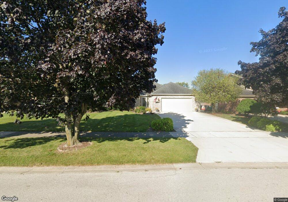
527 Rhonda Dr Lockport, IL 60441
Estimated Value: $428,926 - $518,000
--
Bed
--
Bath
--
Sq Ft
10,019
Sq Ft Lot
About This Home
This home is located at 527 Rhonda Dr, Lockport, IL 60441 and is currently estimated at $482,482. 527 Rhonda Dr is a home located in Will County with nearby schools including Milne Grove Elementary School, Kelvin Grove Jr High School, and Lockport Township High School East.
Ownership History
Date
Name
Owned For
Owner Type
Purchase Details
Closed on
Aug 31, 1995
Sold by
Shahbarat Anthony G and Shahbarat Daphne M
Bought by
Underdown Michael J and Underdown Jill M
Current Estimated Value
Home Financials for this Owner
Home Financials are based on the most recent Mortgage that was taken out on this home.
Original Mortgage
$180,000
Interest Rate
7.37%
Create a Home Valuation Report for This Property
The Home Valuation Report is an in-depth analysis detailing your home's value as well as a comparison with similar homes in the area
Home Values in the Area
Average Home Value in this Area
Purchase History
| Date | Buyer | Sale Price | Title Company |
|---|---|---|---|
| Underdown Michael J | $189,500 | -- |
Source: Public Records
Mortgage History
| Date | Status | Borrower | Loan Amount |
|---|---|---|---|
| Closed | Underdown Michael J | $180,000 |
Source: Public Records
Tax History Compared to Growth
Tax History
| Year | Tax Paid | Tax Assessment Tax Assessment Total Assessment is a certain percentage of the fair market value that is determined by local assessors to be the total taxable value of land and additions on the property. | Land | Improvement |
|---|---|---|---|---|
| 2024 | $11,954 | $155,237 | $31,524 | $123,713 |
| 2023 | $11,954 | $139,364 | $28,301 | $111,063 |
| 2022 | $11,074 | $131,287 | $26,661 | $104,626 |
| 2021 | $10,474 | $123,378 | $25,055 | $98,323 |
| 2020 | $10,197 | $119,321 | $24,231 | $95,090 |
| 2019 | $9,669 | $113,101 | $22,968 | $90,133 |
| 2018 | $9,483 | $108,751 | $22,085 | $86,666 |
| 2017 | $9,109 | $102,663 | $20,849 | $81,814 |
| 2016 | $8,687 | $96,217 | $19,540 | $76,677 |
| 2015 | $7,543 | $83,881 | $18,050 | $65,831 |
| 2014 | $7,543 | $79,886 | $17,190 | $62,696 |
| 2013 | $7,543 | $81,516 | $17,541 | $63,975 |
Source: Public Records
Map
Nearby Homes
- 602 Stephanie Dr
- 1340 Lacoma Ct
- 1108 E 9th St
- 1007 Read St
- 1221 Runyan Dr
- 613 E 3rd St Unit 4
- 613 Katherine St
- 927 Putnam Dr
- 317 Bonnie Dr
- 807 Valley Ln
- 1004 Valley Ln
- 1413 Strawberry Hill Dr
- 16601 W Springview Dr
- 540 E 4th St
- 1102 E Treeline Dr
- 16343 Pioneer Pkwy Unit 3B
- 1526 Peachtree Ln
- 1220 E Wellwood Dr
- 560 E 7th St
- 9.5 Acres S Archer Ave
- 531 Rhonda Dr
- 523 Rhonda Dr
- 530 Tonelli Trail
- 534 Tonelli Trail
- 519 Rhonda Dr
- 526 Tonelli Trail
- 1210 Darin Dr
- 1206 Darin Dr
- 526 Rhonda Dr
- 530 Rhonda Dr
- 538 Tonelli Trail
- 513 Rhonda Dr
- 522 Rhonda Dr
- 522 Tonelli Trail
- 534 Rhonda Dr Unit 3
- 518 Rhonda Dr
- 538 Rhonda Dr
- 518 Tonelli Trail
- 509 Rhonda Dr
- 514 Rhonda Dr