52701 Ward Rd Wakeman, OH 44889
Estimated Value: $282,000 - $555,000
4
Beds
2
Baths
2,189
Sq Ft
$186/Sq Ft
Est. Value
About This Home
This home is located at 52701 Ward Rd, Wakeman, OH 44889 and is currently estimated at $407,435, approximately $186 per square foot. 52701 Ward Rd is a home located in Lorain County with nearby schools including Firelands Elementary School, Firelands Middle School, and Firelands High School.
Ownership History
Date
Name
Owned For
Owner Type
Purchase Details
Closed on
Jul 3, 2002
Sold by
Zunt Charles W and Zunt Caroline M
Bought by
Zunt Caroline M
Current Estimated Value
Home Financials for this Owner
Home Financials are based on the most recent Mortgage that was taken out on this home.
Original Mortgage
$125,000
Interest Rate
6.91%
Mortgage Type
Balloon
Create a Home Valuation Report for This Property
The Home Valuation Report is an in-depth analysis detailing your home's value as well as a comparison with similar homes in the area
Purchase History
| Date | Buyer | Sale Price | Title Company |
|---|---|---|---|
| Zunt Caroline M | -- | Cresent Title Agency |
Source: Public Records
Mortgage History
| Date | Status | Borrower | Loan Amount |
|---|---|---|---|
| Closed | Zunt Caroline M | $125,000 |
Source: Public Records
Tax History
| Year | Tax Paid | Tax Assessment Tax Assessment Total Assessment is a certain percentage of the fair market value that is determined by local assessors to be the total taxable value of land and additions on the property. | Land | Improvement |
|---|---|---|---|---|
| 2024 | $4,257 | $97,853 | $24,339 | $73,514 |
| 2023 | $3,781 | $77,508 | $23,261 | $54,247 |
| 2022 | $3,650 | $77,508 | $23,261 | $54,247 |
| 2021 | $3,648 | $77,508 | $23,261 | $54,247 |
| 2020 | $3,305 | $66,930 | $20,090 | $46,840 |
| 2019 | $3,281 | $66,930 | $20,090 | $46,840 |
| 2018 | $3,100 | $66,930 | $20,090 | $46,840 |
| 2017 | $2,837 | $58,350 | $20,510 | $37,840 |
| 2016 | $2,860 | $58,350 | $20,510 | $37,840 |
| 2015 | $2,863 | $58,350 | $20,510 | $37,840 |
| 2014 | $3,132 | $62,520 | $19,410 | $43,110 |
| 2013 | $3,057 | $62,520 | $19,410 | $43,110 |
Source: Public Records
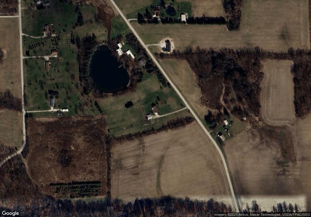
Map
Nearby Homes
- V/L Baird Rd
- 15319 State Route 113
- 7218 State Route 60
- 50902 Becker Rd
- 50963 Becker Rd
- 14416 State Route 113
- Lot 1 Ohio 113
- 13514 State Route 113
- 5226 State Route 60
- 525 Church St
- 51001 Portman Rd
- 13830 Baumhart Rd
- 9113 Dean Rd
- Lot B Gifford Rd
- 9719 Harrison Rd
- 9708 Harrison Rd
- 15617 Sperry Rd
- 5810 U S 20 Unit 47
- 5810 U S 20 Unit 108
- 5810 U S 20 Unit 3
- 52681 Ward Rd
- 12393 Green Rd
- 52761 Ward Rd
- 12333 Green Rd
- 52782 Ward Rd
- 12255 Green Rd
- 12201 Green Rd
- V/L Green
- 52840 Ward Rd
- 12145 Green Rd
- 52495 Ward Rd
- 52514 Ward Rd
- 52468 Ward Rd
- 12408 Green Rd
- 12406 Green Rd
- 12376 Gore Orphanage Rd
- 12312 Green Rd
- 53001 Ward Rd
- 52464 Ward Rd
- 12326 Gore Orphanage Rd
Your Personal Tour Guide
Ask me questions while you tour the home.