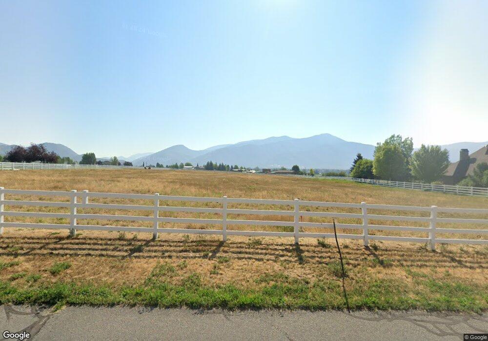
5272 N 750 W Oakley, UT 84055
Estimated Value: $784,000 - $1,376,000
Studio
--
Bath
--
Sq Ft
146,797
Sq Ft Lot
About This Home
This home is located at 5272 N 750 W, Oakley, UT 84055 and is currently estimated at $1,080,000. 5272 N 750 W is a home located in Summit County with nearby schools including South Summit Elementary School and South Summit High School.
Ownership History
Date
Name
Owned For
Owner Type
Purchase Details
Closed on
May 12, 2017
Sold by
Bodden Vernie D
Bought by
Brooks Martin J and Brooks Jeanette L
Current Estimated Value
Purchase Details
Closed on
Jul 28, 2010
Sold by
Bodden Vernie D
Bought by
Bodden Vernie D
Purchase Details
Closed on
Apr 8, 2010
Sold by
Bodden Vernie D and Bodden Robbie A
Bought by
Bodden Vernie D and Bodden Robbie Adams
Purchase Details
Closed on
Mar 15, 2010
Sold by
Cantafio Anthony R and Cantafio Jennifer T
Bought by
Bodden Vernie D and Bodden Robbie A
Purchase Details
Closed on
May 23, 2005
Sold by
Babre Amy L
Bought by
Cantafio Anthony R and Cantafio Jennifer T
Create a Home Valuation Report for This Property
The Home Valuation Report is an in-depth analysis detailing your home's value as well as a comparison with similar homes in the area
Home Values in the Area
Average Home Value in this Area
Purchase History
| Date | Buyer | Sale Price | Title Company |
|---|---|---|---|
| Brooks Martin J | -- | Coalition Title Agency Inc | |
| Bodden Vernie D | -- | -- | |
| Bodden Vernie D | -- | -- | |
| Bodden Vernie D | -- | -- | |
| Cantafio Anthony R | -- | Summit Escrow & Title Insura |
Source: Public Records
Tax History
| Year | Tax Paid | Tax Assessment Tax Assessment Total Assessment is a certain percentage of the fair market value that is determined by local assessors to be the total taxable value of land and additions on the property. | Land | Improvement |
|---|---|---|---|---|
| 2025 | $2,515 | $418,760 | $418,760 | -- |
| 2024 | $2,275 | $403,760 | $403,760 | -- |
| 2023 | $2,275 | $384,800 | $384,800 | $0 |
| 2022 | $2,110 | $319,800 | $319,800 | $0 |
| 2021 | $2,516 | $319,800 | $319,800 | $0 |
| 2020 | $2,720 | $319,800 | $319,800 | $0 |
| 2019 | $3,051 | $319,800 | $319,800 | $0 |
| 2018 | $2,928 | $319,800 | $319,800 | $0 |
| 2017 | $1,616 | $181,100 | $181,100 | $0 |
| 2016 | $1,723 | $181,100 | $181,100 | $0 |
| 2015 | $1,710 | $181,100 | $0 | $0 |
| 2013 | $1,818 | $181,100 | $0 | $0 |
Source: Public Records
Map
Nearby Homes
- 5325 Bridle Cir
- 829 River Haven Ln Unit 111
- 972 River Haven Rd Unit 101
- 949 River Haven Rd S Unit 115
- 87 N Yosemite Unit 87A
- 940 River Haven Rd W Unit 103
- 156 Mountain View Unit 156
- 455 W North Bench Rd
- 919 River Haven Rd Unit 114
- 4275 N Riverview Ct
- 672 Carson Ln
- 4165 Conifer Dr
- 816 River Haven Rd Unit 106
- 389 E Boulderville Rd
- 3994 N New Ln
- 5954 N Maple Ridge Trail Unit 6
- 364 W 3700 N
- 470 E Boulderville Rd
- 3001 N South R 32
- 2010 N South R 32
- 5328 Bridle Cir
- 5310 Bridle Cir
- 5340 Bridle Cir
- 5294 Bridle Cir
- 834 Bronc Trail
- 5280 Bridle Way
- 808 Bronc Trail
- 5337 Bridle Cir
- 5320 N 750 W
- 5320 N 750 W Unit 2
- 5260 Bridle Way
- 5326 Frontier Cir
- 5259 Bridle Way
- 5308 Frontier Cir
- 5248 Bridle Way
- 5338 Frontier Cir
- 5241 Bridle Way
- 5402 N 750 W
- 5236 Riata Cir
- 5234 Bridle Way
Your Personal Tour Guide
Ask me questions while you tour the home.