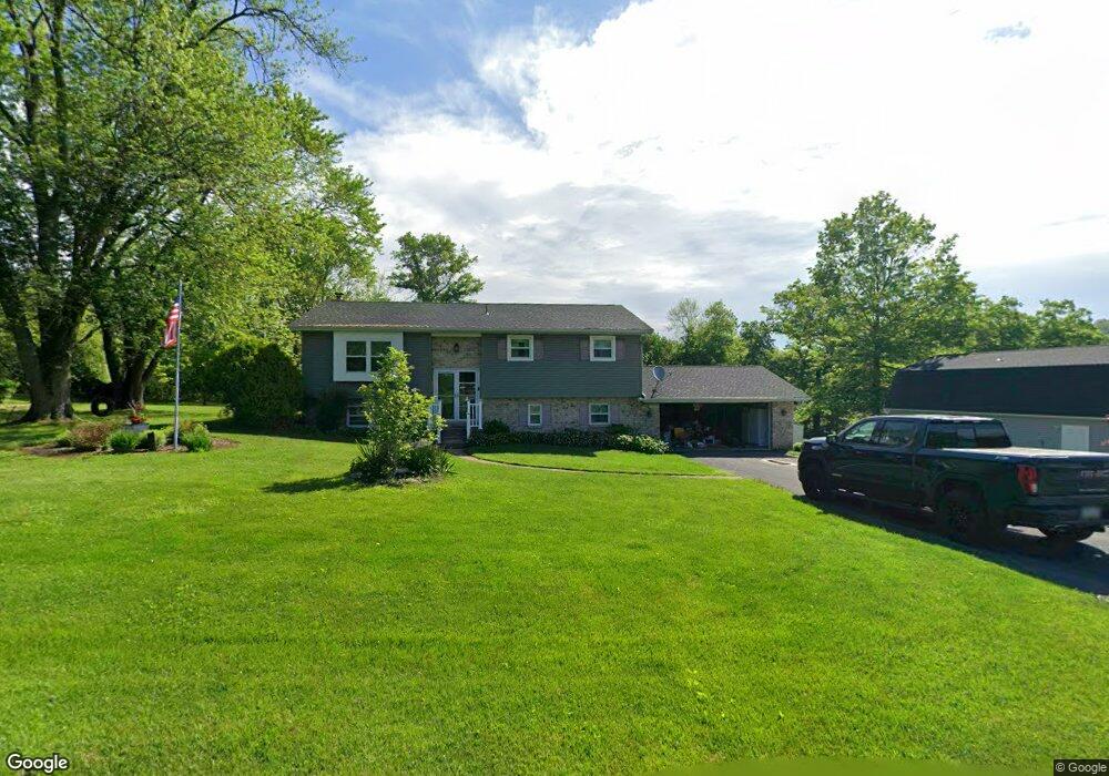
5273 Sickle Rd Emmaus, PA 18049
Upper Milford Township NeighborhoodEstimated Value: $390,000 - $533,000
3
Beds
2
Baths
2,340
Sq Ft
$201/Sq Ft
Est. Value
About This Home
This home is located at 5273 Sickle Rd, Emmaus, PA 18049 and is currently estimated at $471,373, approximately $201 per square foot. 5273 Sickle Rd is a home located in Lehigh County with nearby schools including Lincoln Elementary School, Lower Macungie Middle School, and Emmaus High School.
Ownership History
Date
Name
Owned For
Owner Type
Purchase Details
Closed on
Apr 21, 2014
Sold by
Mikolajczyjk Michael and Mikolajczyk Donna
Bought by
Yon Brandon D and Yon Holly L
Current Estimated Value
Home Financials for this Owner
Home Financials are based on the most recent Mortgage that was taken out on this home.
Original Mortgage
$201,777
Outstanding Balance
$152,925
Interest Rate
4.26%
Mortgage Type
FHA
Estimated Equity
$318,448
Purchase Details
Closed on
Nov 29, 2010
Sold by
Matelan Michael B
Bought by
Mikolajczyjk Michael
Purchase Details
Closed on
Dec 16, 1988
Sold by
Hartshorn Forrest E and Hartshorn Edith
Bought by
Brendlinger William P and Brendlinger Marylee Y
Create a Home Valuation Report for This Property
The Home Valuation Report is an in-depth analysis detailing your home's value as well as a comparison with similar homes in the area
Home Values in the Area
Average Home Value in this Area
Purchase History
| Date | Buyer | Sale Price | Title Company |
|---|---|---|---|
| Yon Brandon D | $205,500 | None Available | |
| Mikolajczyjk Michael | $185,000 | -- | |
| Brendlinger William P | $157,000 | -- |
Source: Public Records
Mortgage History
| Date | Status | Borrower | Loan Amount |
|---|---|---|---|
| Open | Yon Brandon D | $201,777 |
Source: Public Records
Tax History Compared to Growth
Tax History
| Year | Tax Paid | Tax Assessment Tax Assessment Total Assessment is a certain percentage of the fair market value that is determined by local assessors to be the total taxable value of land and additions on the property. | Land | Improvement |
|---|---|---|---|---|
| 2025 | $6,017 | $235,700 | $69,300 | $166,400 |
| 2024 | $5,751 | $235,700 | $69,300 | $166,400 |
| 2023 | $5,635 | $235,700 | $69,300 | $166,400 |
| 2022 | $5,500 | $214,400 | $145,100 | $69,300 |
| 2021 | $4,895 | $214,400 | $69,300 | $145,100 |
| 2020 | $4,848 | $214,400 | $69,300 | $145,100 |
| 2019 | $4,818 | $214,400 | $69,300 | $145,100 |
| 2018 | $4,695 | $214,400 | $69,300 | $145,100 |
| 2017 | $4,611 | $214,400 | $69,300 | $145,100 |
| 2016 | -- | $214,400 | $69,300 | $145,100 |
| 2015 | -- | $214,400 | $69,300 | $145,100 |
| 2014 | -- | $214,400 | $69,300 | $145,100 |
Source: Public Records
Map
Nearby Homes
- 2571 Brunner Rd
- 5031 Hunter Ln
- 6173 Rizzuto Way Unit Lot 21
- 6175 Rizzuto Way
- 6175 Rizzuto Way Unit Lot 22
- 521 Wood St
- 97 Chestnut Hill Rd
- 6173 LOT 21 Rizzuto Way
- 340 Chestnut Hill Rd
- 6408 Dekrane Dr
- 618 Broad St
- 6469 Dekrane Dr Unit 2
- 659 Broad St
- 339 Delong Ave Unit 343
- 569 Chestnut St Unit 571
- 657 Walnut St
- 120 N 2nd St
- 543 Long St
- 118 N 2nd St
- 4290 Taviston Ct E
- 5311 Sickle Rd
- 5243 Sickle Rd
- 5270 Sickle Rd
- 5202 Sickle Rd
- 2646 Sickle Cir
- 5341 Sickle Rd
- 5211 Sickle Rd
- 2651 Sickle Cir
- 2640 Brunner Rd
- 5123 Sickle Rd
- 5160 Sickle Rd
- 2702 Sickle Cir
- 2672 Brunner Rd
- 2702 Brunner Rd
- 2572 Brunner Rd
- 2752 Brunner Rd
- 5227 Limeport Rd
- 5161 Limeport Rd
- 5251 Limeport Rd
- 5211 Limeport Rd