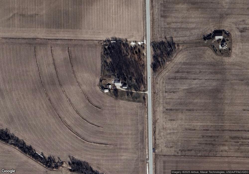
5278 N Center Point Rd Walker, IA 52352
Estimated Value: $379,000 - $536,000
4
Beds
2
Baths
2,288
Sq Ft
$196/Sq Ft
Est. Value
About This Home
This home is located at 5278 N Center Point Rd, Walker, IA 52352 and is currently estimated at $448,717, approximately $196 per square foot. 5278 N Center Point Rd is a home located in Linn County with nearby schools including North Linn Elementary School, North-Linn Middle School, and North-Linn Senior High School.
Ownership History
Date
Name
Owned For
Owner Type
Purchase Details
Closed on
May 21, 2018
Sold by
Beuter Theodore Joseph and Utter Beuter Julie Sue
Bought by
Beuter Theodore David and Beuter Lori J
Current Estimated Value
Home Financials for this Owner
Home Financials are based on the most recent Mortgage that was taken out on this home.
Original Mortgage
$152,950
Outstanding Balance
$131,695
Interest Rate
4.4%
Mortgage Type
New Conventional
Estimated Equity
$317,022
Create a Home Valuation Report for This Property
The Home Valuation Report is an in-depth analysis detailing your home's value as well as a comparison with similar homes in the area
Home Values in the Area
Average Home Value in this Area
Purchase History
| Date | Buyer | Sale Price | Title Company |
|---|---|---|---|
| Beuter Theodore David | $92,500 | None Available |
Source: Public Records
Mortgage History
| Date | Status | Borrower | Loan Amount |
|---|---|---|---|
| Open | Beuter Theodore David | $152,950 |
Source: Public Records
Tax History Compared to Growth
Tax History
| Year | Tax Paid | Tax Assessment Tax Assessment Total Assessment is a certain percentage of the fair market value that is determined by local assessors to be the total taxable value of land and additions on the property. | Land | Improvement |
|---|---|---|---|---|
| 2025 | $4,024 | $449,700 | $93,000 | $356,700 |
| 2024 | $4,028 | $432,300 | $93,000 | $339,300 |
| 2023 | $4,028 | $350,100 | $93,000 | $257,100 |
| 2022 | $4,018 | $291,700 | $93,000 | $198,700 |
| 2021 | $3,546 | $291,700 | $93,000 | $198,700 |
| 2020 | $3,546 | $250,300 | $69,000 | $181,300 |
| 2019 | $3,488 | $238,600 | $69,000 | $169,600 |
| 2018 | $3,528 | $238,600 | $69,000 | $169,600 |
| 2017 | $3,672 | $238,400 | $69,000 | $169,400 |
| 2016 | $3,672 | $238,400 | $69,000 | $169,400 |
| 2015 | $3,734 | $238,400 | $69,000 | $169,400 |
| 2014 | $3,734 | $238,400 | $69,000 | $169,400 |
| 2013 | $3,646 | $238,400 | $69,000 | $169,400 |
Source: Public Records
Map
Nearby Homes
- 4617 Durow Rd
- 302 Maple Ln
- 1010 Northview Dr
- 1109 Grubbs St
- 0 54th Street Trail
- 1120 Central Ave
- 508 Vine St
- 702 Central Ave
- 316 E Washington St
- 4505 Urbana Rd Unit West Parcel
- 4505 Urbana Rd Unit East Parcel
- 4505 Urbana Rd
- 507 Maplewood Dr
- 120 Green St
- 132 Green St
- 809 Iowa St
- 718 Pointer Cir
- 717 Pointer Cir
- 0 Iowa St
- 115 Main St
- 5295 N Center Point Rd
- 5206 N Center Point Rd
- 5192 N Center Point Rd
- 5216 Bettys Grove Rd
- 5170 N Center Point Rd
- 5266 Bettys Grove Rd
- 5390 N Center Point Rd
- 5341 Bettys Grove Rd
- 4374 Wileys Rd
- 4370 Wileys Rd
- 4361 Wileys Rd
- 4453 Mills Rd
- 4375 Ring Rd
- 4210 Wileys Rd
- 5313 Bettys Grove Rd
- 5313 Bettys Grove Rd
- 5122 N Center Point Rd
- 4333 Ring Rd
- 4145 Ring Rd
- 3249 51st Street Ln