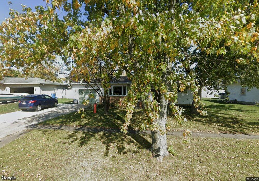
528 Apache Ln Lowell, IN 46356
West Creek NeighborhoodEstimated Value: $234,726 - $265,000
4
Beds
2
Baths
1,040
Sq Ft
$238/Sq Ft
Est. Value
About This Home
This home is located at 528 Apache Ln, Lowell, IN 46356 and is currently estimated at $247,182, approximately $237 per square foot. 528 Apache Ln is a home located in Lake County with nearby schools including Lowell Middle School and Lowell Senior High School.
Ownership History
Date
Name
Owned For
Owner Type
Purchase Details
Closed on
Apr 2, 2021
Sold by
Jones Timothy B
Bought by
Jones Debra A
Current Estimated Value
Home Financials for this Owner
Home Financials are based on the most recent Mortgage that was taken out on this home.
Original Mortgage
$86,300
Interest Rate
3.05%
Mortgage Type
New Conventional
Create a Home Valuation Report for This Property
The Home Valuation Report is an in-depth analysis detailing your home's value as well as a comparison with similar homes in the area
Home Values in the Area
Average Home Value in this Area
Purchase History
| Date | Buyer | Sale Price | Title Company |
|---|---|---|---|
| Jones Debra A | -- | Chicago Title Ins Co |
Source: Public Records
Mortgage History
| Date | Status | Borrower | Loan Amount |
|---|---|---|---|
| Closed | Jones Debra A | $86,300 |
Source: Public Records
Tax History Compared to Growth
Tax History
| Year | Tax Paid | Tax Assessment Tax Assessment Total Assessment is a certain percentage of the fair market value that is determined by local assessors to be the total taxable value of land and additions on the property. | Land | Improvement |
|---|---|---|---|---|
| 2025 | $1,841 | $202,800 | $35,700 | $167,100 |
| 2024 | $4,767 | $190,300 | $35,700 | $154,600 |
| 2023 | $1,757 | $181,200 | $35,700 | $145,500 |
| 2022 | $1,659 | $169,200 | $35,700 | $133,500 |
| 2021 | $1,381 | $145,900 | $31,000 | $114,900 |
| 2020 | $1,315 | $143,500 | $31,000 | $112,500 |
| 2019 | $1,351 | $135,800 | $31,000 | $104,800 |
| 2018 | $1,282 | $130,700 | $31,000 | $99,700 |
| 2017 | $1,245 | $122,700 | $31,000 | $91,700 |
| 2016 | $1,192 | $127,400 | $31,000 | $96,400 |
| 2014 | $1,158 | $125,100 | $31,000 | $94,100 |
| 2013 | $1,091 | $117,500 | $31,000 | $86,500 |
Source: Public Records
Map
Nearby Homes
- 432 Apache Ln
- 654 Cheyenne Dr
- 617 Fawn Cir
- 611 Iowa Dr
- 715 Cheyenne Dr
- 524 Timberwood Ln
- 487 Timber Lake Dr
- The Sierra IIs Plan at Freedom Springs
- The Reynolds Plan at Freedom Springs
- The Phillips IV Plan at Freedom Springs
- The Ocean Springs Plan at Freedom Springs
- The Glendale Plan at Freedom Springs
- The Phillips II Plan at Freedom Springs
- The Cheyenne Plan at Freedom Springs
- The Parkwood Plan at Freedom Springs
- The Ashford P Plan at Freedom Springs
- The Amhurst III Plan at Freedom Springs
- The Westwood II Plan at Freedom Springs
- The Dakota Plan at Freedom Springs
- The Irvington Plan at Freedom Springs