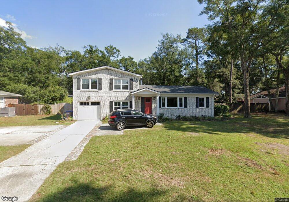
528 Clearview Dr Charleston, SC 29412
James Island NeighborhoodEstimated Value: $611,441 - $799,000
3
Beds
2
Baths
1,750
Sq Ft
$391/Sq Ft
Est. Value
About This Home
This home is located at 528 Clearview Dr, Charleston, SC 29412 and is currently estimated at $685,110, approximately $391 per square foot. 528 Clearview Dr is a home located in Charleston County with nearby schools including Stiles Point Elementary School, Camp Road Middle, and James Island Charter High School.
Ownership History
Date
Name
Owned For
Owner Type
Purchase Details
Closed on
Sep 15, 2023
Sold by
Barks James A
Bought by
Candelaria Laurie L
Current Estimated Value
Purchase Details
Closed on
Aug 31, 2005
Sold by
Mclaughlin Craig T and Mclaughlin Angela L
Bought by
Barks James A
Purchase Details
Closed on
Aug 25, 2005
Sold by
Jones Dorthea Nell M and Mikell Marsha J
Bought by
Mclaughlin Craig T and Mclaughlin Angela L
Purchase Details
Closed on
May 1, 2003
Sold by
Jones Dorothea Nell M
Bought by
Mclaughlin Craig T and Mclaughlin Angela L
Purchase Details
Closed on
Jul 12, 2001
Sold by
Jones Dorthea Nell M
Bought by
Jones Dorthea Nell M
Create a Home Valuation Report for This Property
The Home Valuation Report is an in-depth analysis detailing your home's value as well as a comparison with similar homes in the area
Home Values in the Area
Average Home Value in this Area
Purchase History
| Date | Buyer | Sale Price | Title Company |
|---|---|---|---|
| Candelaria Laurie L | $150,000 | None Listed On Document | |
| Barks James A | $250,000 | -- | |
| Mclaughlin Craig T | -- | -- | |
| Mclaughlin Craig T | $178,000 | -- | |
| Mclaughlin Craig T | -- | -- | |
| Jones Dorthea Nell M | -- | -- |
Source: Public Records
Tax History
| Year | Tax Paid | Tax Assessment Tax Assessment Total Assessment is a certain percentage of the fair market value that is determined by local assessors to be the total taxable value of land and additions on the property. | Land | Improvement |
|---|---|---|---|---|
| 2024 | $1,637 | $11,060 | $0 | $0 |
| 2023 | $1,372 | $11,060 | $0 | $0 |
| 2022 | $1,240 | $11,060 | $0 | $0 |
| 2021 | $1,326 | $11,060 | $0 | $0 |
| 2020 | $1,341 | $11,060 | $0 | $0 |
| 2019 | $1,225 | $9,610 | $0 | $0 |
| 2017 | $1,300 | $9,610 | $0 | $0 |
| 2016 | $1,247 | $9,610 | $0 | $0 |
| 2015 | $1,292 | $9,610 | $0 | $0 |
| 2014 | $1,086 | $0 | $0 | $0 |
| 2011 | -- | $0 | $0 | $0 |
Source: Public Records
Map
Nearby Homes
- 660 Ayers Dr
- 672 Ayers Dr
- 706 Sterling Dr
- 544 Fort Johnson Rd
- 725 Stiles Dr
- 867 Parrot Creek Way
- 0 Fort Johnson Rd Unit 25005735
- 734 Waterloo St
- 460 Trapier Dr
- 922 Preston Rd
- 758 Larkwood Rd
- 746 Tallwood Rd
- 902 Mikell Dr
- 764 Whispering Marsh Dr
- 939 Mikell Dr
- 943 Mikell Dr
- 698 Whispering Marsh Dr
- 404 Tanner Trail
- 913 Paul Revere Dr
- 857 Piccadilly Cir
- 532 Clearview Dr
- 522 Clearview Dr
- 767 Sterling Dr
- 771 Sterling Dr
- 763 Sterling Dr
- 519 Clearview Dr
- 775 Sterling Dr
- 538 Clearview Dr
- 759 Sterling Dr
- 780 Brown Dr
- 517 Clearview Dr
- 783 Brown Dr
- 755 Sterling Dr
- 542 Clearview Dr
- 622 Harbor View Rd
- 764 Sterling Dr
- 539 Clearview Dr
- 756 Sterling Dr
- 760 Sterling Dr
- 779 Brown Dr
Your Personal Tour Guide
Ask me questions while you tour the home.