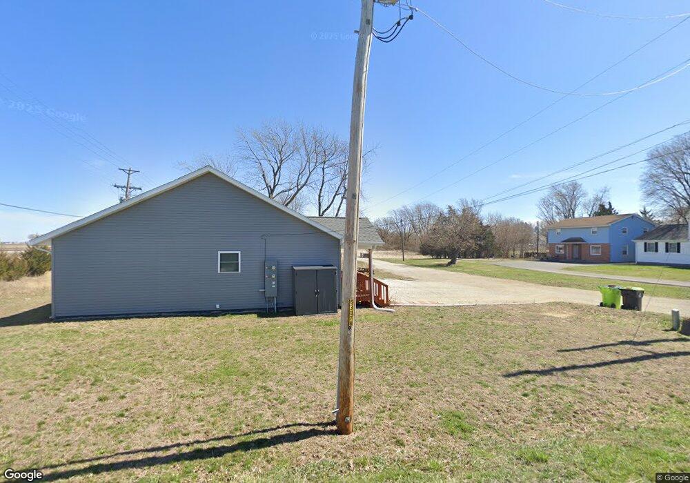
528 Curry Ave Illiopolis, IL 62539
Estimated Value: $153,000 - $253,676
4
Beds
2
Baths
1,718
Sq Ft
$120/Sq Ft
Est. Value
About This Home
This home is located at 528 Curry Ave, Illiopolis, IL 62539 and is currently estimated at $206,419, approximately $120 per square foot. 528 Curry Ave is a home located in Sangamon County.
Ownership History
Date
Name
Owned For
Owner Type
Purchase Details
Closed on
Jun 23, 2023
Sold by
Affordable Home Systems Inc
Bought by
Curry Drive Partners Llc
Current Estimated Value
Purchase Details
Closed on
Jan 1, 2023
Sold by
Curry Drive Partners Llc
Bought by
Affordable Home Systems Inc
Home Financials for this Owner
Home Financials are based on the most recent Mortgage that was taken out on this home.
Original Mortgage
$60,000
Interest Rate
6.49%
Mortgage Type
Construction
Purchase Details
Closed on
Oct 2, 2017
Sold by
Sheriff Of Sangamon County
Bought by
Illiopolis Land Llc
Create a Home Valuation Report for This Property
The Home Valuation Report is an in-depth analysis detailing your home's value as well as a comparison with similar homes in the area
Home Values in the Area
Average Home Value in this Area
Purchase History
| Date | Buyer | Sale Price | Title Company |
|---|---|---|---|
| Curry Drive Partners Llc | -- | None Listed On Document | |
| Affordable Home Systems Inc | -- | None Listed On Document | |
| Illiopolis Land Llc | -- | -- |
Source: Public Records
Mortgage History
| Date | Status | Borrower | Loan Amount |
|---|---|---|---|
| Previous Owner | Affordable Home Systems Inc | $60,000 |
Source: Public Records
Tax History Compared to Growth
Tax History
| Year | Tax Paid | Tax Assessment Tax Assessment Total Assessment is a certain percentage of the fair market value that is determined by local assessors to be the total taxable value of land and additions on the property. | Land | Improvement |
|---|---|---|---|---|
| 2024 | $4,682 | $63,570 | $3,027 | $60,543 |
| 2023 | $4,331 | $30,738 | $2,794 | $27,944 |
| 2022 | $2,037 | $27,543 | $2,504 | $25,039 |
| 2021 | $0 | $0 | $0 | $0 |
Source: Public Records
Map
Nearby Homes
- 116 N Moore St Unit 1
- 20961 Center Staff Rd Unit 1
- 414 5th St
- 420 6th St
- 709 Louisa St
- 120 8th St Unit 1
- 13505 W Long Point Rd
- 168 W Lockhart St
- 144 E Lewis St
- 0 Bill Wall Dr
- 1359 S Bridge Rd
- 116 E Center St
- 207 N Church St
- 203 W Railroad St
- Lot 5th Cross St
- 1955 E 2700 Rd N
- 275 N Camp St
- 7450 W William St
- 210 N Kiick St
- 11951 Mechanicsburg Blacktop
- 718 Maple Ln
- 218 Dye Rd
- 222 Dye Rd
- 730 Maple Ln
- 174 Dye Rd Unit 1
- 731 Maple Ln Unit 1
- 750 Maple Ln Unit 1
- 211 Dye Rd
- 760 Maple Ln
- 709 Old Route 36
- 701 Old Route 36
- 0 Old Route 36
- 523 W Matilda St
- 631 W Matilda St
- 0 Lanesville Rd Unit 5479059
- 20731 Timberedge
- 314 Matilda St
- 260 W Matilda St
- 400 Curry Ave
- 519 W Matilda St Unit 1