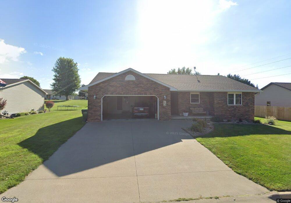
528 Maple Ridge St Peosta, IA 52068
Estimated Value: $314,000 - $407,000
3
Beds
3
Baths
1,322
Sq Ft
$268/Sq Ft
Est. Value
About This Home
This home is located at 528 Maple Ridge St, Peosta, IA 52068 and is currently estimated at $354,450, approximately $268 per square foot. 528 Maple Ridge St is a home located in Dubuque County with nearby schools including Peosta Elementary School, Drexler Middle - Intermediate School, and Western Dubuque High School.
Ownership History
Date
Name
Owned For
Owner Type
Purchase Details
Closed on
Aug 26, 2021
Sold by
Hogan Sara L and Hogan Bruce Allan
Bought by
Hogan Sara L and Hogan Bruce A
Current Estimated Value
Home Financials for this Owner
Home Financials are based on the most recent Mortgage that was taken out on this home.
Original Mortgage
$160,000
Interest Rate
2.8%
Mortgage Type
New Conventional
Create a Home Valuation Report for This Property
The Home Valuation Report is an in-depth analysis detailing your home's value as well as a comparison with similar homes in the area
Home Values in the Area
Average Home Value in this Area
Purchase History
| Date | Buyer | Sale Price | Title Company |
|---|---|---|---|
| Hogan Sara L | -- | None Available |
Source: Public Records
Mortgage History
| Date | Status | Borrower | Loan Amount |
|---|---|---|---|
| Closed | Hogan Sara L | $160,000 |
Source: Public Records
Tax History Compared to Growth
Tax History
| Year | Tax Paid | Tax Assessment Tax Assessment Total Assessment is a certain percentage of the fair market value that is determined by local assessors to be the total taxable value of land and additions on the property. | Land | Improvement |
|---|---|---|---|---|
| 2025 | $3,400 | $275,500 | $50,000 | $225,500 |
| 2024 | $3,400 | $255,400 | $50,000 | $205,400 |
| 2023 | $3,278 | $255,400 | $50,000 | $205,400 |
| 2022 | $2,786 | $204,030 | $49,980 | $154,050 |
| 2021 | $2,786 | $204,030 | $49,980 | $154,050 |
| 2020 | $2,680 | $189,670 | $44,980 | $144,690 |
| 2019 | $2,562 | $189,670 | $44,980 | $144,690 |
| 2018 | $2,510 | $173,460 | $31,790 | $141,670 |
| 2017 | $2,448 | $173,460 | $31,790 | $141,670 |
| 2016 | $2,448 | $162,550 | $29,990 | $132,560 |
| 2015 | $2,416 | $162,550 | $29,990 | $132,560 |
| 2014 | $2,444 | $158,720 | $29,990 | $128,730 |
Source: Public Records
Map
Nearby Homes
- 7630 Kaia Dr
- Lot 60 Hugo Dr
- Lot 64 Hugo Dr
- 175 Bryn Dr
- 9391 Cashel Dr E
- 629 Lilac Ln
- 700 Missy Dr
- 419 Angela Jean Cir
- Lot 20 Ginger Dr
- Lot 90 Ginger Dr
- 963 Peosta St
- 8165 Hugo Dr
- 8202 Hugo Dr
- 8122 Hugo Dr
- Lot 29 Ginger Dr
- Lot 28 Ginger Dr
- Lot 25 Ginger Dr
- Lot 24 Ginger Dr
- Lot 19 Ginger Dr
- Lot 36 Ginger Dr
- 510 Maple Ridge St
- 546 Maple Ridge St
- 529 Maple Ridge St
- 566 Maple Ridge St
- 569 Birch Ridge S
- 547 Maple Ridge St
- 511 Maple Ridge St
- 7895 Burds Rd
- 565 Maple Ridge St
- 582 Maple Ridge St
- 581 Birch Ridge S
- 528 Hickory Ridge St
- 585 Maple Ridge St
- 546 Hickory Ridge St
- 510 Hickory Ridge St
- 570 Birch Ridge S
- 566 Hickory Ridge St
- 606 Maple Ridge St
- 603 Birch Ridge S
- 605 Maple Ridge St