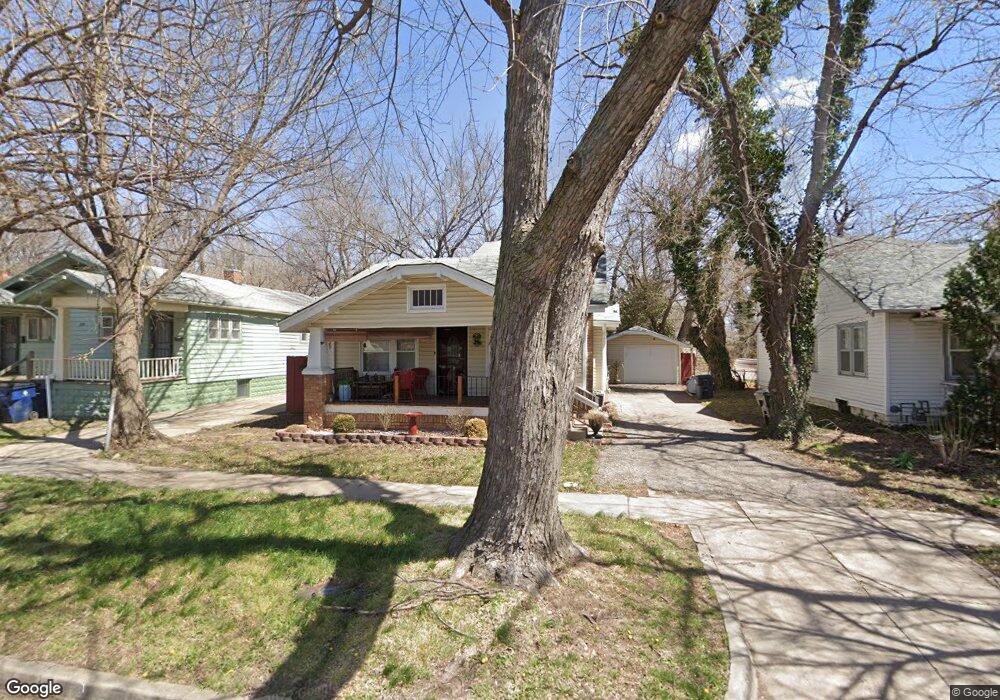
528 N Poplar St Wichita, KS 67214
Murdock/The Elms NeighborhoodEstimated Value: $113,112 - $160,000
3
Beds
1
Bath
1,213
Sq Ft
$113/Sq Ft
Est. Value
About This Home
This home is located at 528 N Poplar St, Wichita, KS 67214 and is currently estimated at $136,556, approximately $112 per square foot. 528 N Poplar St is a home located in Sedgwick County with nearby schools including Wichita High School East, Robinson Middle School, and Blessed Sacrament Catholic School.
Ownership History
Date
Name
Owned For
Owner Type
Purchase Details
Closed on
Oct 14, 2012
Sold by
Wright Jean and Fralin Dhanraj Jamal
Bought by
Saviers Oxnard Clinic Limited Partnershi
Current Estimated Value
Purchase Details
Closed on
Jun 7, 2011
Sold by
Secretary Of Housing & Urban Development
Bought by
Tennant Forest
Purchase Details
Closed on
May 18, 2010
Sold by
Walsh Tameka
Bought by
The Secretary Of Housing & Urban Develop
Purchase Details
Closed on
Dec 21, 2005
Sold by
Worryfree Enterprises
Bought by
Walsh Tameka
Home Financials for this Owner
Home Financials are based on the most recent Mortgage that was taken out on this home.
Original Mortgage
$56,231
Interest Rate
6.3%
Mortgage Type
FHA
Create a Home Valuation Report for This Property
The Home Valuation Report is an in-depth analysis detailing your home's value as well as a comparison with similar homes in the area
Home Values in the Area
Average Home Value in this Area
Purchase History
| Date | Buyer | Sale Price | Title Company |
|---|---|---|---|
| Saviers Oxnard Clinic Limited Partnershi | -- | None Available | |
| Tennant Forest | -- | None Available | |
| The Secretary Of Housing & Urban Develop | $60,211 | Ctc | |
| Walsh Tameka | -- | None Available |
Source: Public Records
Mortgage History
| Date | Status | Borrower | Loan Amount |
|---|---|---|---|
| Previous Owner | Walsh Tameka | $56,231 |
Source: Public Records
Tax History Compared to Growth
Tax History
| Year | Tax Paid | Tax Assessment Tax Assessment Total Assessment is a certain percentage of the fair market value that is determined by local assessors to be the total taxable value of land and additions on the property. | Land | Improvement |
|---|---|---|---|---|
| 2025 | $650 | $7,314 | $1,587 | $5,727 |
| 2023 | $650 | $5,808 | $1,265 | $4,543 |
| 2022 | $529 | $5,325 | $1,196 | $4,129 |
| 2021 | $546 | $5,026 | $874 | $4,152 |
| 2020 | $517 | $4,761 | $874 | $3,887 |
| 2019 | $504 | $4,646 | $874 | $3,772 |
| 2018 | $588 | $5,359 | $874 | $4,485 |
| 2017 | $626 | $0 | $0 | $0 |
| 2016 | $588 | $0 | $0 | $0 |
| 2015 | $603 | $0 | $0 | $0 |
| 2014 | $591 | $0 | $0 | $0 |
Source: Public Records
Map
Nearby Homes
- 548 N Poplar St
- 607 N Spruce St
- 523 N Volutsia St
- 616 N Madison Ave
- 523 N Erie Ave
- 817 N Green St
- 832 N Grove St
- 405 N Spruce St
- 2121 E Murdock Ave
- 2629 E 8th St N
- 615 N Chautauqua Ave
- 830 N Spruce St
- 2301 E Random Rd
- 2503 E Mossman Ave
- Lot Lot 16 Buck's Add
- 2232 E Random Rd
- 326 N Volutsia St
- 849 N Spruce St
- 2111 E Random Rd
- 2120 E Random Rd
- 530 N Poplar St
- 526 N Poplar St
- 544 N Poplar St
- 527 N Poplar St
- 531 N Poplar St
- 537 N Poplar St
- 520 N Poplar St
- 543 N Poplar St
- 523 N Poplar St
- 558 N Poplar St
- 543 N Green St
- 547 N Poplar St
- 545 N Green St
- 523 N Green St
- 515 N Poplar St
- 555 N Poplar St
- 517 N Green St
- 547 N Green St
- 553 N Green St
- 602 N Poplar St