Estimated Value: $300,000 - $356,000
--
Bed
--
Bath
1,242
Sq Ft
$262/Sq Ft
Est. Value
About This Home
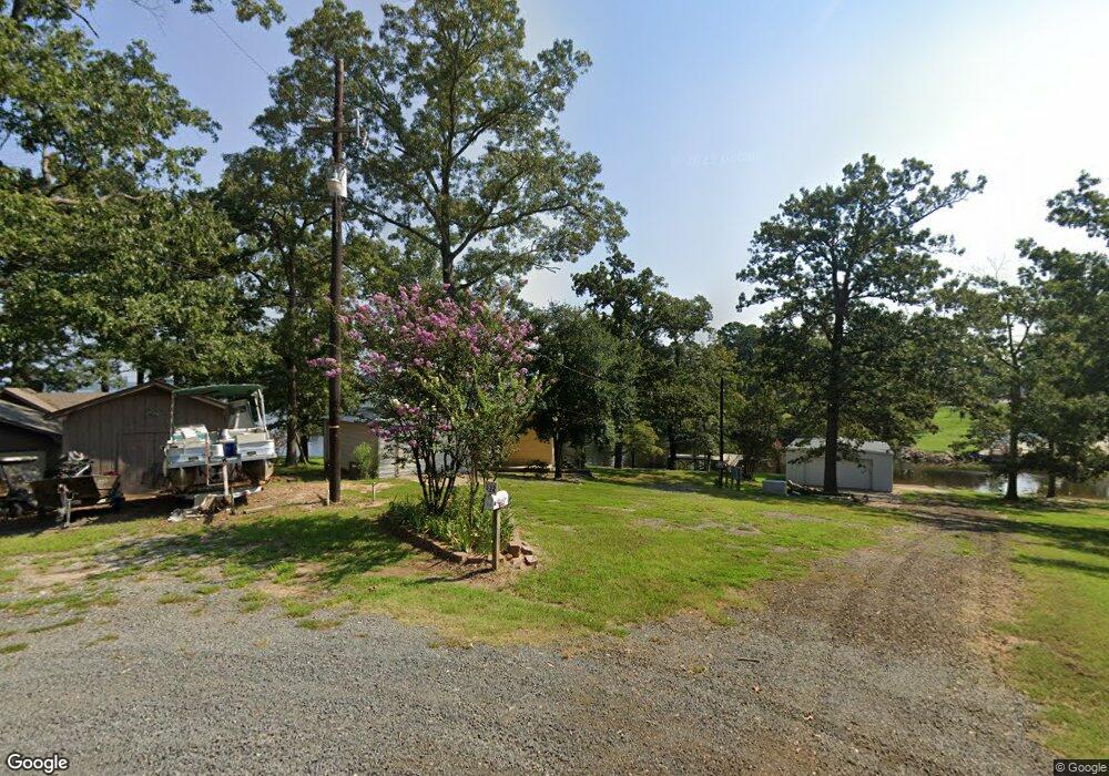
This home is located at 528 Shamrock Ln, Many, LA 71449 and is currently estimated at $325,534, approximately $262 per square foot. 528 Shamrock Ln is a home.
Ownership History
Date
Name
Owned For
Owner Type
Purchase Details
Closed on
Jun 9, 2017
Sold by
Merchants And Farmers Bank And Trust Com
Bought by
Lewing Howard Keith and Jeane Lewing Carol Lynn
Current Estimated Value
Home Financials for this Owner
Home Financials are based on the most recent Mortgage that was taken out on this home.
Original Mortgage
$155,000
Outstanding Balance
$129,033
Interest Rate
4.05%
Mortgage Type
Purchase Money Mortgage
Estimated Equity
$196,501
Purchase Details
Closed on
Jun 5, 2014
Sold by
Pitre Dora Belle Brown and Pitre Dora Belle Brown
Bought by
Eades Bobby L and Eades Bobby
Home Financials for this Owner
Home Financials are based on the most recent Mortgage that was taken out on this home.
Original Mortgage
$125,000
Interest Rate
4.23%
Mortgage Type
New Conventional
Create a Home Valuation Report for This Property
The Home Valuation Report is an in-depth analysis detailing your home's value as well as a comparison with similar homes in the area
Home Values in the Area
Average Home Value in this Area
Purchase History
| Date | Buyer | Sale Price | Title Company |
|---|---|---|---|
| Lewing Howard Keith | $195,000 | None Available | |
| Eades Bobby L | $158,000 | None Available |
Source: Public Records
Mortgage History
| Date | Status | Borrower | Loan Amount |
|---|---|---|---|
| Open | Lewing Howard Keith | $155,000 | |
| Previous Owner | Eades Bobby L | $125,000 |
Source: Public Records
Tax History Compared to Growth
Tax History
| Year | Tax Paid | Tax Assessment Tax Assessment Total Assessment is a certain percentage of the fair market value that is determined by local assessors to be the total taxable value of land and additions on the property. | Land | Improvement |
|---|---|---|---|---|
| 2024 | $1,670 | $27,419 | $7,675 | $19,744 |
| 2023 | $1,145 | $18,428 | $5,985 | $12,443 |
| 2022 | $1,145 | $18,428 | $5,985 | $12,443 |
| 2021 | $1,262 | $18,428 | $5,985 | $12,443 |
| 2020 | $1,262 | $18,428 | $5,985 | $12,443 |
| 2019 | $1,259 | $18,428 | $5,985 | $12,443 |
| 2018 | $920 | $13,368 | $3,080 | $10,288 |
| 2017 | $1,070 | $13,368 | $3,080 | $10,288 |
| 2016 | $1,091 | $13,368 | $3,080 | $10,288 |
| 2015 | -- | $6,250 | $3,080 | $3,170 |
| 2014 | -- | $5,470 | $2,493 | $2,977 |
Source: Public Records
Map
Nearby Homes
- 80 Northstar Ln
- 50 N Star Dr
- 60 Spring Ct
- 1290 Merritt Mountain Rd Unit 8
- 526 Terra Cir
- 0 Twin Vista Dr Unit Lot 22 and 23
- 1149 Oak Ridge Rd
- 1117 Oak Ridge Rd
- 000 Oak Ridge Rd Unit 48
- 000 Oak Ridge Rd Unit 47
- 136 Abe Dr
- 21 United Bay Ln
- 41 Turtle Wayne Ln Unit 12
- 60 Don Ave
- 565 Mid Lake Ln
- 84 Roy Ln
- 008 Preservation Point Rd Unit 8
- 76 Ivy Ln
- 200 Joe Dr
- 78 Ivy Ln Unit 24
- 532 Shamrock Ln
- 506 Shamrock Ln
- 534 Shamrock Ln
- 486 Shamrock Ln
- 486 Shamrock Ln Unit 2
- 509 Shamrock Ln
- 462 Shamrock Ln
- 491 Shamrock Ln
- 491 Shamrock Ln Unit Lot 9
- 65 Northstar Ln
- 469 Shamrock Ln
- 80 Northstar Dr
- 000 N Star Dr Unit Lot3
- 90 Northstar Ln
- 55 Northstar Ln
- 346 Spring St
- 120 Northstar Ln
- 100 Northstar Ln
- 70 Northstar Ln
- 50 Northstar Ln