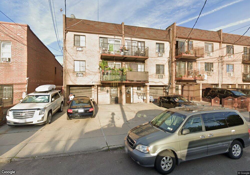
5280 74th St Elmhurst, NY 11373
Maspeth NeighborhoodEstimated Value: $1,568,000 - $1,959,000
Studio
--
Bath
3,775
Sq Ft
$466/Sq Ft
Est. Value
About This Home
This home is located at 5280 74th St, Elmhurst, NY 11373 and is currently estimated at $1,758,333, approximately $465 per square foot. 5280 74th St is a home located in Queens County with nearby schools including Ps 58 School Of Heroes, IS 73 - The Frank Sansivieri School, and Grover Cleveland High School.
Ownership History
Date
Name
Owned For
Owner Type
Purchase Details
Closed on
Apr 14, 2025
Sold by
Louie Kin M
Bought by
Louie Kin M
Current Estimated Value
Purchase Details
Closed on
Dec 22, 1986
Sold by
Hrf Construction Coinc
Bought by
Louie Kin M and Louie May J
Home Financials for this Owner
Home Financials are based on the most recent Mortgage that was taken out on this home.
Original Mortgage
$205,000
Interest Rate
9.02%
Mortgage Type
Purchase Money Mortgage
Create a Home Valuation Report for This Property
The Home Valuation Report is an in-depth analysis detailing your home's value as well as a comparison with similar homes in the area
Home Values in the Area
Average Home Value in this Area
Purchase History
| Date | Buyer | Sale Price | Title Company |
|---|---|---|---|
| Louie Kin M | -- | -- | |
| Louie Kin M | -- | -- | |
| Louie Kin M | -- | -- |
Source: Public Records
Mortgage History
| Date | Status | Borrower | Loan Amount |
|---|---|---|---|
| Previous Owner | Louie Kin M | $205,000 |
Source: Public Records
Tax History
| Year | Tax Paid | Tax Assessment Tax Assessment Total Assessment is a certain percentage of the fair market value that is determined by local assessors to be the total taxable value of land and additions on the property. | Land | Improvement |
|---|---|---|---|---|
| 2025 | $4,181 | $55,236 | $5,712 | $49,524 |
| 2024 | $4,285 | $52,110 | $6,180 | $45,930 |
| 2023 | $3,885 | $49,162 | $4,948 | $44,214 |
| 2022 | $3,676 | $91,860 | $11,100 | $80,760 |
| 2021 | $3,918 | $76,140 | $11,100 | $65,040 |
| 2020 | $3,908 | $80,040 | $11,100 | $68,940 |
| 2019 | $3,582 | $88,140 | $11,100 | $77,040 |
| 2018 | $3,223 | $40,968 | $7,330 | $33,638 |
| 2017 | $3,117 | $38,650 | $6,111 | $32,539 |
| 2016 | $3,066 | $38,650 | $6,111 | $32,539 |
| 2015 | $1,876 | $38,358 | $8,251 | $30,107 |
| 2014 | $1,876 | $36,188 | $7,126 | $29,062 |
Source: Public Records
Map
Nearby Homes
- 7338 52nd Rd
- 5244 79th St
- 52-49 79th St
- 73-37 52nd Ave
- 52-79 72nd St
- 74-49 Calamus Ave Unit 51
- 74-47 Calamus Ave Unit 48
- 7291 Calamus Ave
- 7219 Grand Ave
- 72-17 Grand Ave
- 54-09 80th St
- 71-22 Calamus Ave
- 77-06 Kneeland Ave
- 5441 71st St
- 79-15 Kneeland Ave
- 70-03 52nd Ave
- 5119 Ireland St
- 52-57 84th St
- 70-07 Grand Ave
- 5434 83rd St
Your Personal Tour Guide
Ask me questions while you tour the home.