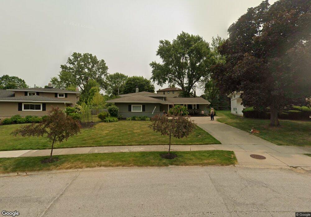
5281 Sherwood Dr Cleveland, OH 44126
Estimated Value: $304,729 - $327,000
3
Beds
2
Baths
1,800
Sq Ft
$174/Sq Ft
Est. Value
About This Home
This home is located at 5281 Sherwood Dr, Cleveland, OH 44126 and is currently estimated at $313,932, approximately $174 per square foot. 5281 Sherwood Dr is a home located in Cuyahoga County with nearby schools including Gilles-Sweet Elementary School, Lewis F Mayer Middle School, and Fairview High School.
Ownership History
Date
Name
Owned For
Owner Type
Purchase Details
Closed on
Jun 21, 1996
Sold by
Aufmuth Thomas G
Bought by
Butterfield Gerard M and Butterfield Kristin E
Current Estimated Value
Home Financials for this Owner
Home Financials are based on the most recent Mortgage that was taken out on this home.
Original Mortgage
$101,636
Outstanding Balance
$6,665
Interest Rate
8.29%
Mortgage Type
FHA
Estimated Equity
$307,267
Purchase Details
Closed on
Jul 2, 1976
Sold by
Hutto David P and Hutto Jeanie C
Bought by
Aufmuth Thomas G
Purchase Details
Closed on
Jan 1, 1975
Bought by
Hutto David P and Hutto Jeanie C
Create a Home Valuation Report for This Property
The Home Valuation Report is an in-depth analysis detailing your home's value as well as a comparison with similar homes in the area
Home Values in the Area
Average Home Value in this Area
Purchase History
| Date | Buyer | Sale Price | Title Company |
|---|---|---|---|
| Butterfield Gerard M | $102,000 | -- | |
| Aufmuth Thomas G | $48,500 | -- | |
| Hutto David P | -- | -- |
Source: Public Records
Mortgage History
| Date | Status | Borrower | Loan Amount |
|---|---|---|---|
| Open | Butterfield Gerard M | $101,636 |
Source: Public Records
Tax History Compared to Growth
Tax History
| Year | Tax Paid | Tax Assessment Tax Assessment Total Assessment is a certain percentage of the fair market value that is determined by local assessors to be the total taxable value of land and additions on the property. | Land | Improvement |
|---|---|---|---|---|
| 2024 | $6,263 | $91,210 | $19,355 | $71,855 |
| 2023 | $5,274 | $65,520 | $17,010 | $48,510 |
| 2022 | $5,143 | $65,520 | $17,010 | $48,510 |
| 2021 | $5,252 | $65,520 | $17,010 | $48,510 |
| 2020 | $4,832 | $52,850 | $13,720 | $39,130 |
| 2019 | $4,297 | $151,000 | $39,200 | $111,800 |
| 2018 | $4,138 | $52,850 | $13,720 | $39,130 |
| 2017 | $4,164 | $47,320 | $11,340 | $35,980 |
| 2016 | $4,136 | $47,320 | $11,340 | $35,980 |
| 2015 | $3,983 | $47,320 | $11,340 | $35,980 |
| 2014 | $3,983 | $45,960 | $11,030 | $34,930 |
Source: Public Records
Map
Nearby Homes
- 20930 Mastick Rd
- 22534 Bard Ave
- 22506 Sharon Ln
- 22503 Sandy Ln
- 5951 Rockport Ln
- 22045 Morton Ave
- 22247 Mastick Rd
- 4627 W 223rd St
- 4464 W 224th St
- 21763 Hillsdale Ave
- 21437 Hillsdale Ave
- 22934 Mastick Rd Unit 102
- 4514 Orchard Rd
- 4309 W 222nd St
- 4710 Grayton Rd
- 4720 Grayton Rd
- 22968 Maple Ridge Rd Unit 103
- 4401 Fairview Park
- 22976 Maple Ridge Rd Unit B 105
- 22895 Mastick Rd
- 5301 Sherwood Dr
- 5261 Sherwood Dr
- 5280 Kings Hwy
- 5321 Sherwood Dr
- 5290 Kings Hwy
- 21410 Queen Anns Way
- 5300 Kings Hwy
- 5341 Sherwood Dr
- 5280 Sherwood Dr
- 5310 Kings Hwy
- 21761 Briarwood Dr
- 21400 Queen Anns Way
- 5361 Sherwood Dr
- 21760 Briarwood Dr
- 5294 Sherwood Dr
- 21519 Nottingham Dr
- 21521 Nottingham Dr
- 5320 Kings Hwy
- 21741 Overlook Dr
- 21395 Queen Anns Way