Estimated Value: $275,000 - $354,000
3
Beds
2
Baths
1,488
Sq Ft
$207/Sq Ft
Est. Value
About This Home
This home is located at 5283 Toles Rd, Mason, MI 48854 and is currently estimated at $308,015, approximately $206 per square foot. 5283 Toles Rd is a home located in Ingham County with nearby schools including Mason High School.
Ownership History
Date
Name
Owned For
Owner Type
Purchase Details
Closed on
Dec 10, 2018
Sold by
Williams Allen D
Bought by
Williams Bryan A
Current Estimated Value
Purchase Details
Closed on
Jun 23, 2010
Sold by
Rozen Dennis F and Miller Patricia A
Bought by
Williams Allen
Purchase Details
Closed on
Jun 22, 2010
Sold by
Rapsin Richard L and Rapsin Elizabeth M
Bought by
Rozen Dennis F and Rozen Patricia A
Purchase Details
Closed on
Nov 1, 2006
Sold by
Rozen Dennis F and Rozen Patricia A
Bought by
Collins Robert C
Purchase Details
Closed on
Jun 22, 2006
Sold by
Duart Tracy L and Simpson Tracy
Bought by
Rozen Dennis F and Rozen Patricia A
Create a Home Valuation Report for This Property
The Home Valuation Report is an in-depth analysis detailing your home's value as well as a comparison with similar homes in the area
Home Values in the Area
Average Home Value in this Area
Purchase History
| Date | Buyer | Sale Price | Title Company |
|---|---|---|---|
| Williams Bryan A | -- | None Available | |
| Williams Allen | $98,000 | Transnation Title Agency | |
| Rozen Dennis F | -- | Transnation Title Agency | |
| Collins Robert C | $56,000 | Fatic | |
| Rozen Dennis F | $230,000 | Fatic |
Source: Public Records
Tax History Compared to Growth
Tax History
| Year | Tax Paid | Tax Assessment Tax Assessment Total Assessment is a certain percentage of the fair market value that is determined by local assessors to be the total taxable value of land and additions on the property. | Land | Improvement |
|---|---|---|---|---|
| 2025 | $4,023 | $143,600 | $30,400 | $113,200 |
| 2024 | $23 | $137,400 | $29,900 | $107,500 |
| 2023 | $3,783 | $122,400 | $19,400 | $103,000 |
| 2022 | $3,552 | $106,900 | $25,400 | $81,500 |
| 2021 | $3,496 | $101,500 | $0 | $101,500 |
| 2020 | $4,049 | $91,800 | $20,300 | $71,500 |
| 2019 | $3,938 | $93,400 | $21,700 | $71,700 |
| 2018 | $2,911 | $83,000 | $21,700 | $61,300 |
| 2017 | $2,583 | $83,000 | $21,700 | $61,300 |
| 2016 | -- | $78,900 | $21,700 | $57,200 |
| 2015 | -- | $76,500 | $43,400 | $33,100 |
| 2014 | -- | $72,600 | $43,400 | $29,200 |
Source: Public Records
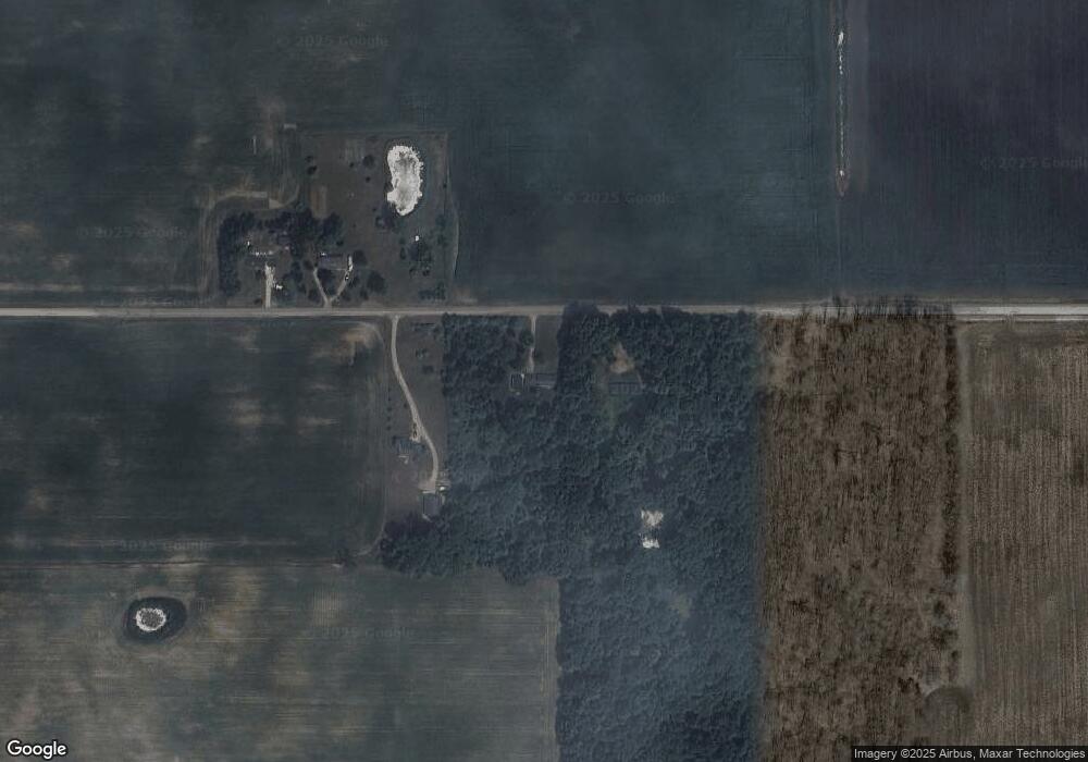
Map
Nearby Homes
- 5906 W Barnes Rd
- 4662 W Barnes Rd
- 2093 Gale Rd
- 2391 S Onondaga Rd
- 1953 S Aurelius Rd
- 2475 S Onondaga Rd
- 2511 Gould Rd
- S Gale Rd
- 6042 W Plains Rd
- 372 S Eifert Rd
- Vl Gale Rd
- 0 Bond Rd Unit 291019
- 0 S Edgar Rd Lot I
- 3888 W Barnes Rd
- 466 Blue Spruce Ln Unit 55
- 6401 Curtice Rd
- 0 Ferris Unit 290887
- 5485 W Columbia Rd
- 4939 W Columbia Rd
- 380 Spicetree Ln Unit 48
- 5331 Toles Rd
- 5320 Toles Rd
- 5358 Toles Rd
- 1693 S Onondaga Rd
- 1511 S Onondaga Rd
- 1581 S Onondaga Rd
- 1498 Onondaga Rd
- 1449 Onondaga Rd
- 5515 Toles Rd
- 1448 Onondaga Rd
- 1550 S Onondaga Rd
- 1600 S Onondaga Rd
- 1590 S Onondaga Rd
- 1604 S Onondaga Rd
- 1660 S Onondaga Rd
- 5547 Toles Rd
- 0 S Onondaga Rd
- 5550 W Toles Rd
- 1360 Onondaga Rd
- 1350 Onondaga Rd