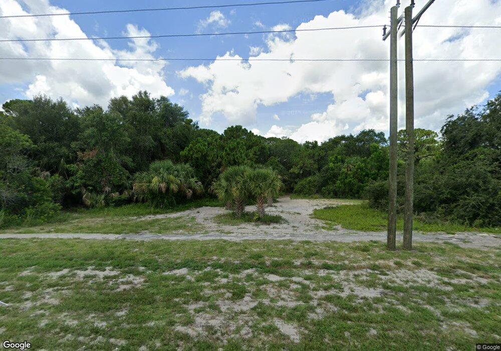
Estimated Value: $322,495
Studio
--
Bath
--
Sq Ft
1.58
Acres
About This Home
This home is located at 5285 Us 1, Cocoa, FL 32927 and is currently estimated at $322,495. 5285 Us 1 is a home located in Brevard County with nearby schools including Fairglen Elementary School, Cocoa High School, and East Atlantic Prep of Brevard County.
Ownership History
Date
Name
Owned For
Owner Type
Purchase Details
Closed on
Oct 20, 2004
Sold by
W S Badcock Corp
Bought by
It Investment Group Inc
Current Estimated Value
Purchase Details
Closed on
Nov 30, 1995
Sold by
Wittekind Ent Inc
Bought by
W S Badcock Corp
Purchase Details
Closed on
Jul 9, 1993
Sold by
Resolution Tr Corp
Bought by
Wittekind Ent Inc
Home Financials for this Owner
Home Financials are based on the most recent Mortgage that was taken out on this home.
Original Mortgage
$250,000
Interest Rate
7.48%
Create a Home Valuation Report for This Property
The Home Valuation Report is an in-depth analysis detailing your home's value as well as a comparison with similar homes in the area
Home Values in the Area
Average Home Value in this Area
Purchase History
| Date | Buyer | Sale Price | Title Company |
|---|---|---|---|
| It Investment Group Inc | $160,000 | -- | |
| W S Badcock Corp | $90,000 | -- | |
| Wittekind Ent Inc | $75,900 | -- |
Source: Public Records
Mortgage History
| Date | Status | Borrower | Loan Amount |
|---|---|---|---|
| Previous Owner | Wittekind Ent Inc | $250,000 |
Source: Public Records
Tax History
| Year | Tax Paid | Tax Assessment Tax Assessment Total Assessment is a certain percentage of the fair market value that is determined by local assessors to be the total taxable value of land and additions on the property. | Land | Improvement |
|---|---|---|---|---|
| 2025 | $1,441 | $113,440 | -- | -- |
| 2024 | $1,478 | $113,440 | -- | -- |
| 2023 | $1,478 | $113,440 | $113,440 | $0 |
| 2022 | $1,434 | $113,440 | $0 | $0 |
| 2021 | $1,405 | $103,130 | $103,130 | $0 |
| 2020 | $1,441 | $103,130 | $103,130 | $0 |
| 2019 | $1,488 | $103,130 | $103,130 | $0 |
| 2018 | $1,514 | $103,130 | $103,130 | $0 |
| 2017 | $1,436 | $37,124 | $0 | $0 |
| 2016 | $1,425 | $92,810 | $92,810 | $0 |
| 2015 | $1,287 | $75,630 | $75,630 | $0 |
| 2014 | $1,309 | $75,630 | $75,630 | $0 |
Source: Public Records
Map
Nearby Homes
- 313 Ronald St
- 326 Iris St
- 350 Akorn St
- 354 Akorn St
- 5400 Edgewater Ct
- 100 Canebreakers Dr Unit 208
- 468 Watermark Dr
- 478 Watermark Dr
- 488 Watermark Dr
- 328 Spring St
- 508 Watermark Dr
- 528 Watermark Dr
- 5815 Industrial Dr
- 5350 Monroe Ave
- 5660 N Highway 1
- 5075 Quarryside Dr
- 5125 Quarryside Dr
- 745 Poller Way NW
- 615 Poller Way
- 5035 Quarryside Dr
- 5285 N Highway 1 Unit 8 Unit 8
- 5285 N Highway 1 Unit 6 Unit 6
- 5285 N Highway 1 Unit 3 Unit 3
- 5285 N Highway 1 Unit 5 Unit 5
- 5285 N Highway 1 Unit 2 Unit 2
- 5285 N Highway 1 Unit 4 Unit 4
- 5285 N Highway 1 Unit 1
- 301 Wixie St
- 303 Wixie St
- 300 Wixie St
- 306 Wixie St
- 301 Ronald St
- 307 Wixie St
- 306 Akorn St
- 5280 N Highway 1
- 310 Wixie St
- 309 Wixie St
- 304 Mcarthur Cir
- Corner N Highway1 & Mac Arthur Cir
- 302 Ronald St
