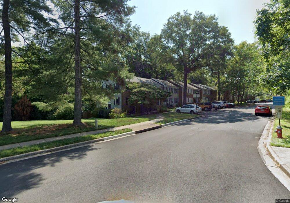
5286 Lonsdale Dr Springfield, VA 22151
Estimated Value: $599,308 - $621,000
3
Beds
4
Baths
1,320
Sq Ft
$465/Sq Ft
Est. Value
About This Home
This home is located at 5286 Lonsdale Dr, Springfield, VA 22151 and is currently estimated at $613,577, approximately $464 per square foot. 5286 Lonsdale Dr is a home located in Fairfax County with nearby schools including Kings Park Elementary School, Kings Glen Elementary School, and Lake Braddock Secondary School.
Ownership History
Date
Name
Owned For
Owner Type
Purchase Details
Closed on
May 24, 1999
Sold by
Havron Idamae G
Bought by
Bleacher John N
Current Estimated Value
Home Financials for this Owner
Home Financials are based on the most recent Mortgage that was taken out on this home.
Original Mortgage
$132,750
Outstanding Balance
$33,761
Interest Rate
6.85%
Estimated Equity
$579,816
Create a Home Valuation Report for This Property
The Home Valuation Report is an in-depth analysis detailing your home's value as well as a comparison with similar homes in the area
Home Values in the Area
Average Home Value in this Area
Purchase History
| Date | Buyer | Sale Price | Title Company |
|---|---|---|---|
| Bleacher John N | $147,500 | -- |
Source: Public Records
Mortgage History
| Date | Status | Borrower | Loan Amount |
|---|---|---|---|
| Open | Bleacher John N | $132,750 |
Source: Public Records
Tax History Compared to Growth
Tax History
| Year | Tax Paid | Tax Assessment Tax Assessment Total Assessment is a certain percentage of the fair market value that is determined by local assessors to be the total taxable value of land and additions on the property. | Land | Improvement |
|---|---|---|---|---|
| 2025 | $6,205 | $583,220 | $195,000 | $388,220 |
| 2024 | $6,205 | $535,630 | $165,000 | $370,630 |
| 2023 | $5,888 | $521,780 | $165,000 | $356,780 |
| 2022 | $5,477 | $478,990 | $155,000 | $323,990 |
| 2021 | $5,013 | $427,190 | $130,000 | $297,190 |
| 2020 | $4,864 | $410,960 | $130,000 | $280,960 |
| 2019 | $4,805 | $405,960 | $125,000 | $280,960 |
| 2018 | $4,487 | $390,150 | $120,000 | $270,150 |
| 2017 | $4,530 | $390,150 | $120,000 | $270,150 |
| 2016 | $4,449 | $384,040 | $120,000 | $264,040 |
Source: Public Records
Map
Nearby Homes
- 8449 Thames St
- 5211 Inverchapel Rd
- 8601 Kenilworth Dr
- 8600 Victoria Rd
- 8621 Kenilworth Dr
- 8701 Cromwell Dr
- 5778 Rexford Ct Unit 5778B
- 5015 Stone Haven Dr
- 8519 Westover Ct Unit 763
- 5824 Rexford Dr Unit 731
- 5818 Torington Dr Unit 859
- 8358D Dunham Ct Unit 622
- 5912 Minutemen Rd Unit 295
- 5927 Bayshire Rd Unit 115
- 4900 Schuyler Dr
- 5921 Minutemen Rd Unit 246
- 8527 Pappas Way
- 5948 Hall St
- 7727 Kalorama Rd
- 4917 Herkimer St
- 5284 Lonsdale Dr
- 5282 Lonsdale Dr
- 5280 Lonsdale Dr
- 5278 Lonsdale Dr
- 5276 Lonsdale Dr
- 5274 Lonsdale Dr
- 5272 Lonsdale Dr
- 5270 Lonsdale Dr
- 5300 Danbury Forest Dr
- 5302 Danbury Forest Dr
- 5268 Lonsdale Dr
- 5304 Danbury Forest Dr
- 5306 Danbury Forest Dr
- 5266 Lonsdale Dr
- 5308 Danbury Forest Dr
- 5264 Lonsdale Dr
- 5310 Danbury Forest Dr
- 5262 Lonsdale Dr
- 5260 Lonsdale Dr
- 5258 Lonsdale Dr