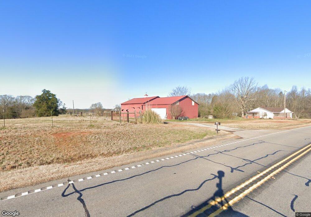
5289 Highway 145 Carnesville, GA 30521
Estimated Value: $398,000 - $2,313,000
2
Beds
2
Baths
1,472
Sq Ft
$895/Sq Ft
Est. Value
About This Home
This home is located at 5289 Highway 145, Carnesville, GA 30521 and is currently estimated at $1,317,091, approximately $894 per square foot. 5289 Highway 145 is a home located in Franklin County with nearby schools including Franklin County High School.
Ownership History
Date
Name
Owned For
Owner Type
Purchase Details
Closed on
Mar 27, 2024
Sold by
Douglas Barbara Louise
Bought by
Payne Jonathan Andrew
Current Estimated Value
Purchase Details
Closed on
Jan 10, 2020
Sold by
Douglas James Ray
Bought by
Wood Bobby R and Wood Brittany L
Purchase Details
Closed on
Apr 28, 2005
Sold by
Turk Rayburn
Bought by
Douglas James Ray and Douglas Barbara Louise
Purchase Details
Closed on
Feb 12, 1998
Bought by
Turk Rayburn
Create a Home Valuation Report for This Property
The Home Valuation Report is an in-depth analysis detailing your home's value as well as a comparison with similar homes in the area
Home Values in the Area
Average Home Value in this Area
Purchase History
| Date | Buyer | Sale Price | Title Company |
|---|---|---|---|
| Payne Jonathan Andrew | -- | -- | |
| Wood Bobby R | -- | -- | |
| Douglas James Ray | $1,050,000 | -- | |
| Turk Rayburn | $208,500 | -- |
Source: Public Records
Tax History Compared to Growth
Tax History
| Year | Tax Paid | Tax Assessment Tax Assessment Total Assessment is a certain percentage of the fair market value that is determined by local assessors to be the total taxable value of land and additions on the property. | Land | Improvement |
|---|---|---|---|---|
| 2024 | $4,354 | $373,563 | $211,487 | $162,076 |
| 2023 | $4,310 | $339,933 | $192,263 | $147,670 |
| 2022 | $3,921 | $283,724 | $149,182 | $134,542 |
| 2021 | $3,594 | $263,349 | $149,182 | $114,167 |
| 2020 | $3,781 | $238,355 | $128,716 | $109,639 |
| 2019 | $3,611 | $239,964 | $128,779 | $111,185 |
| 2018 | $3,253 | $226,527 | $127,668 | $98,859 |
| 2017 | $3,354 | $226,433 | $127,668 | $98,765 |
| 2016 | $3,239 | $218,268 | $127,668 | $90,600 |
| 2015 | -- | $218,267 | $127,668 | $90,600 |
| 2014 | -- | $217,115 | $127,668 | $89,448 |
| 2013 | -- | $219,269 | $127,667 | $91,602 |
Source: Public Records
Map
Nearby Homes
- 0 Murphy Rd Unit 10585891
- 499 Aderhold Rd
- 456 Aderhold Rd
- 2985 Jackson Bridge Rd
- 110 Telford Rd
- 340 Telford Rd
- 365 Carroll Church Rd
- 7690 Royston Rd
- 2695 Brays Lake Rd
- 2556 Turkey Creek Rd
- 0 Turkey Creek Rd Unit 10589237
- 0 Manley St Unit 10611784
- 735 Bowersville Rd
- 210 Nora Moss Ln
- 228 Franklin Hills Dr
- 228 Franklin Hills Dr Unit B14
- 10170 Lavonia Rd
- 7 Crest View Cir
- 0 New Franklin Church Rd
- 6.98 ACRES New Franklin Church Rd
- 5395 Highway 145
- 5244 Georgia 145
- 5244 Highway 145
- 5244 Highway 145
- 4935 Highway 145
- 5485 Highway 145
- 235 Memory Ln
- 5435 Highway 145
- 5465 Highway 145
- 5465 Highway 145
- 5465 Hwy 145
- 5579 Georgia 145
- 5579 Highway 145
- 5653 Highway 145
- 220 Stone Rd
- 4935 Georgia 145
- 5000 Highway 145
- 4855 Highway 145
- 5670 Highway 145
- 360 Stone Rd