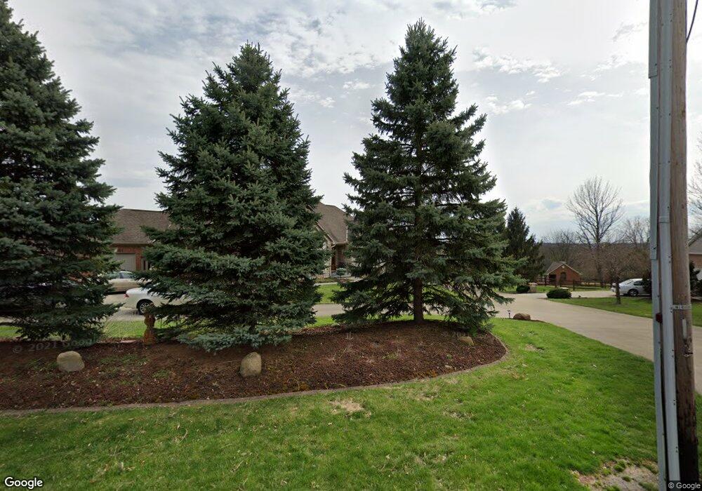
5289 W Fork Rd Cincinnati, OH 45247
West Monfort Heights NeighborhoodEstimated Value: $394,000 - $415,000
About This Home
This home is located at 5289 W Fork Rd, Cincinnati, OH 45247 and is currently estimated at $407,032, approximately $204 per square foot. 5289 W Fork Rd is a home located in Hamilton County with nearby schools including Monfort Heights Elementary School, White Oak Middle School, and Colerain High School.
Ownership History
We collect this data history from publicly available records. To have your information removed, we recommend requesting removal directly through your county’s website.
Purchase Details
Purchase Details
Home Financials for this Owner
Home Financials are based on the most recent Mortgage that was taken out on this home.Purchase Details
Purchase Details
Home Financials for this Owner
Home Financials are based on the most recent Mortgage that was taken out on this home.Home Values in the Area
Average Home Value in this Area
Purchase History
We collect this data history from publicly available records. To have your information removed, we recommend requesting removal directly through your county’s website.
| Date | Buyer | Sale Price | Title Company |
|---|---|---|---|
| -- | -- | ||
| $230,000 | -- | ||
| -- | -- | ||
| -- | -- |
Mortgage History
We collect this data history from publicly available records. To have your information removed, we recommend requesting removal directly through your county’s website.
| Date | Status | Borrower | Loan Amount |
|---|---|---|---|
| Closed | $225,000 | ||
| Previous Owner | $50,000 |
Tax History
We collect this data history from publicly available records. To have your information removed, we recommend requesting removal directly through your county’s website.
| Year | Tax Paid | Tax Assessment Tax Assessment Total Assessment is a certain percentage of the fair market value that is determined by local assessors to be the total taxable value of land and additions on the property. | Land | Improvement |
|---|---|---|---|---|
| 2025 | $5,844 | $117,894 | $18,613 | $99,281 |
| 2023 | $5,790 | $117,894 | $18,613 | $99,281 |
| 2022 | $5,075 | $86,559 | $18,130 | $68,429 |
| 2021 | $4,642 | $86,559 | $18,130 | $68,429 |
| 2020 | $4,701 | $86,559 | $18,130 | $68,429 |
| 2019 | $4,568 | $77,284 | $16,188 | $61,096 |
| 2018 | $4,069 | $77,284 | $16,188 | $61,096 |
| 2017 | $3,839 | $77,284 | $16,188 | $61,096 |
| 2016 | $3,956 | $78,429 | $16,027 | $62,402 |
| 2015 | $4,000 | $78,429 | $16,027 | $62,402 |
| 2014 | $4,007 | $78,429 | $16,027 | $62,402 |
| 2013 | $3,789 | $79,220 | $16,188 | $63,032 |
Map
- 5467 Race Rd
- 5588 W Fork Rd
- 5351 Timberchase Ct
- 4576 Runningfawn Dr
- 4929 Shadow Hawk Dr
- 4643 Whispering Oak Trail
- 5804 Cedaridge Dr
- 5629 Bluepine Dr
- 6001 Wilmer Rd
- 5303 Laurelridge Ln
- 5285 Laurelridge Ln
- 5792 Gaines Rd
- 5548 Jessup Rd
- 5182 Michael Anthony Ln
- 5370 Meadow Walk Ln
- 6046 Gaines Rd
- 4605 Boomer Rd
- 6130 Wilmer Rd
- 5225 Ivy Rose Ln
- 5175 N Bend Crossing
- 5365 W Fork Rd
- 5371 W Fork Rd
- 5311 W Fork Rd
- 5391 W Fork Rd
- 5366 W Fork Rd
- 5421 W Fork Rd
- 5291 W Fork Rd
- 5251 W Fork Rd
- 5565 Opengate Ct
- 5451 W Fork Rd
- 5250 W Fork Rd
- 5581 Opengate Ct
- 5221 W Fork Rd
- 5186 W Fork Rd
- 5448 Race Rd
- 5481 W Fork Rd
- 5191 W Fork Rd
- 5472 W Fork Rd
- 5510 Race Rd
- 5601 Opengate Ct
Ask me questions while you tour the home.