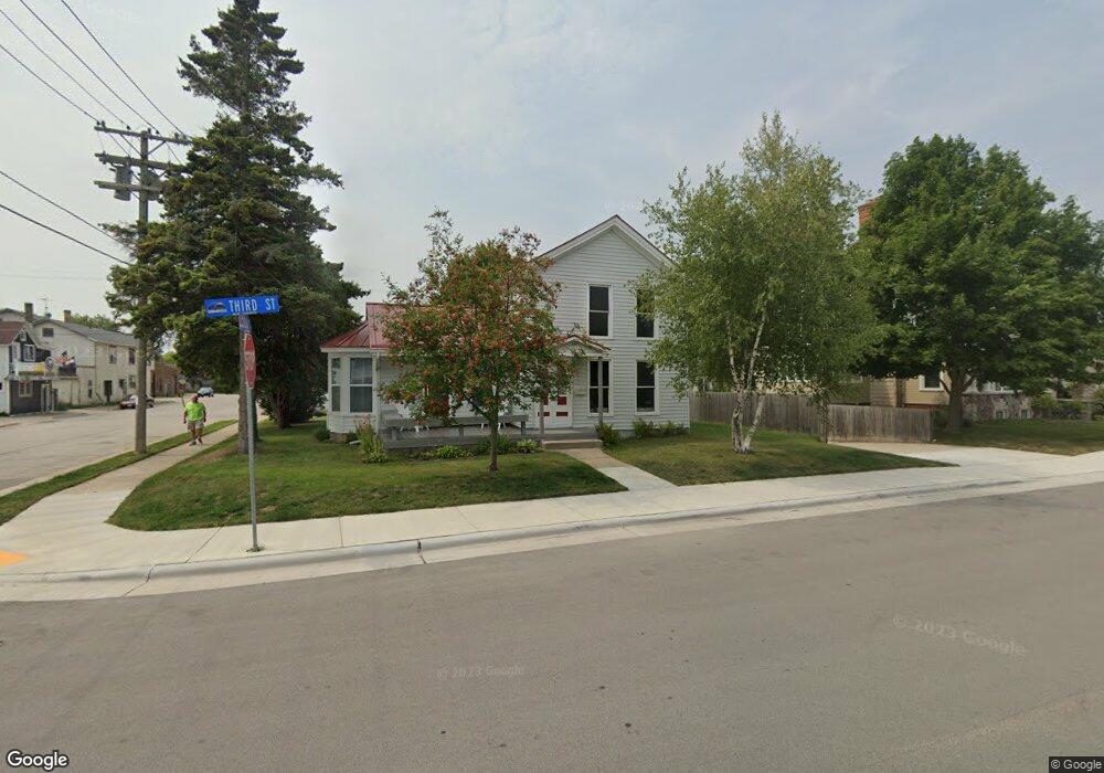
529 3rd St Algoma, WI 54201
Estimated Value: $187,742 - $249,000
3
Beds
2
Baths
1,002
Sq Ft
$212/Sq Ft
Est. Value
About This Home
This home is located at 529 3rd St, Algoma, WI 54201 and is currently estimated at $212,436, approximately $212 per square foot. 529 3rd St is a home located in Kewaunee County with nearby schools including Algoma Elementary School, Algoma High School, and St. Paul's Lutheran School.
Ownership History
Date
Name
Owned For
Owner Type
Purchase Details
Closed on
Jul 18, 2019
Sold by
Wurm Ellen C and Calkins-Delforge Ellen C
Bought by
Blahnik Zachary J
Current Estimated Value
Purchase Details
Closed on
Aug 7, 2018
Sold by
Wiltfang Chris
Bought by
Calkins-Delforge Ellen C
Purchase Details
Closed on
Jan 5, 2018
Sold by
Wiltfang Chris
Bought by
Wiltfang Chris
Purchase Details
Closed on
Nov 1, 2012
Sold by
Schmiling Brad
Bought by
Wiltfang Chris
Purchase Details
Closed on
Dec 1, 2011
Sold by
Zornow Gary D
Bought by
Schmiling Brad
Create a Home Valuation Report for This Property
The Home Valuation Report is an in-depth analysis detailing your home's value as well as a comparison with similar homes in the area
Home Values in the Area
Average Home Value in this Area
Purchase History
| Date | Buyer | Sale Price | Title Company |
|---|---|---|---|
| Blahnik Zachary J | $117,000 | -- | |
| Calkins-Delforge Ellen C | $35,100 | -- | |
| Wiltfang Chris | $34,100 | -- | |
| Wiltfang Chris | $75,000 | -- | |
| Wiltfang Chris | $75,000 | -- | |
| Wiltfang Chris | $75,000 | -- | |
| Schmiling Brad | $45,000 | -- |
Source: Public Records
Tax History
| Year | Tax Paid | Tax Assessment Tax Assessment Total Assessment is a certain percentage of the fair market value that is determined by local assessors to be the total taxable value of land and additions on the property. | Land | Improvement |
|---|---|---|---|---|
| 2025 | $2,800 | $167,200 | $12,800 | $154,400 |
| 2024 | $2,641 | $167,200 | $12,800 | $154,400 |
| 2023 | $2,754 | $133,400 | $7,100 | $126,300 |
| 2022 | $2,695 | $133,400 | $7,100 | $126,300 |
| 2021 | $2,477 | $89,300 | $7,200 | $82,100 |
| 2020 | $2,461 | $87,900 | $7,200 | $80,700 |
| 2019 | $1,747 | $68,100 | $7,200 | $60,900 |
| 2018 | $1,703 | $68,100 | $7,200 | $60,900 |
| 2017 | $1,740 | $68,100 | $7,200 | $60,900 |
| 2016 | $1,636 | $68,100 | $7,200 | $60,900 |
| 2015 | $1,723 | $68,100 | $7,200 | $60,900 |
| 2014 | $1,723 | $68,100 | $7,200 | $60,900 |
| 2013 | $1,852 | $73,600 | $7,200 | $66,400 |
Source: Public Records
Map
Nearby Homes
- 300 Steele St
- 210 Clark St
- 0 Hwy 42 Unit 141253
- 300 4th St
- 600 Navarino St
- 707 Cleveland Ave
- 413 Jefferson St
- 408 N Water St
- 0 County Rd S Unit 50320886
- 0 County Rd S Unit 50317723
- 0 Navarino St
- 1021 Navarino St
- 285 W Greenfield Ave
- 0 Carrie Lynn Ave
- Lt3 Carrie Lynn Ave
- 518 Frank Ave
- 0 Alpine Rd
- 1724 Jefferson St
- 0 Walnut Rd
- N8188 County Road M
Your Personal Tour Guide
Ask me questions while you tour the home.