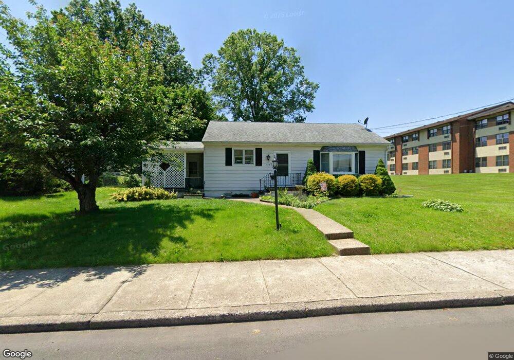
529 Adams St Red Hill, PA 18076
Estimated Value: $222,000 - $336,000
2
Beds
1
Bath
1,206
Sq Ft
$243/Sq Ft
Est. Value
About This Home
This home is located at 529 Adams St, Red Hill, PA 18076 and is currently estimated at $292,890, approximately $242 per square foot. 529 Adams St is a home located in Montgomery County with nearby schools including Upper Perkiomen 4th & 5th Grade Center, Upper Perkiomen Middle School, and Upper Perkiomen High School.
Ownership History
Date
Name
Owned For
Owner Type
Purchase Details
Closed on
Jun 9, 2022
Sold by
Moll Roy L
Bought by
Merkel Teresa
Current Estimated Value
Home Financials for this Owner
Home Financials are based on the most recent Mortgage that was taken out on this home.
Original Mortgage
$155,200
Outstanding Balance
$147,712
Interest Rate
5.3%
Mortgage Type
New Conventional
Estimated Equity
$145,178
Purchase Details
Closed on
Apr 1, 1977
Bought by
Moll Roy L
Create a Home Valuation Report for This Property
The Home Valuation Report is an in-depth analysis detailing your home's value as well as a comparison with similar homes in the area
Home Values in the Area
Average Home Value in this Area
Purchase History
| Date | Buyer | Sale Price | Title Company |
|---|---|---|---|
| Merkel Teresa | $160,000 | Mullaney Christopher P | |
| Moll Emily A | $160,000 | None Listed On Document | |
| Moll Roy L | $32,500 | -- |
Source: Public Records
Mortgage History
| Date | Status | Borrower | Loan Amount |
|---|---|---|---|
| Open | Moll Emily A | $155,200 | |
| Closed | Moll Emily A | $155,200 |
Source: Public Records
Tax History Compared to Growth
Tax History
| Year | Tax Paid | Tax Assessment Tax Assessment Total Assessment is a certain percentage of the fair market value that is determined by local assessors to be the total taxable value of land and additions on the property. | Land | Improvement |
|---|---|---|---|---|
| 2025 | $3,150 | $90,580 | $36,450 | $54,130 |
| 2024 | $3,150 | $90,580 | $36,450 | $54,130 |
| 2023 | $3,006 | $90,580 | $36,450 | $54,130 |
| 2022 | $2,966 | $90,580 | $36,450 | $54,130 |
| 2021 | $2,894 | $90,580 | $36,450 | $54,130 |
| 2020 | $2,878 | $90,580 | $36,450 | $54,130 |
| 2019 | $2,816 | $90,580 | $36,450 | $54,130 |
| 2018 | $2,816 | $90,580 | $36,450 | $54,130 |
| 2017 | $2,734 | $90,580 | $36,450 | $54,130 |
| 2016 | $2,699 | $90,580 | $36,450 | $54,130 |
| 2015 | $2,554 | $90,580 | $36,450 | $54,130 |
| 2014 | $2,554 | $90,580 | $36,450 | $54,130 |
Source: Public Records
Map
Nearby Homes
- Arcadia Plan at Glenwood Chase
- Sebastian Plan at Glenwood Chase
- Arcadia Plan at Retreat at Boyertown Farms
- Caldwell Plan at Glenwood Chase
- Magnolia Plan at Glenwood Chase
- Harrison Plan at Glenwood Chase
- Savannah Plan at Retreat at Boyertown Farms
- Nottingham Plan at Penshyre Place
- Covington Plan at Glenwood Chase
- Woodford Plan at Penshyre Place
- Devonshire Plan at Retreat at Boyertown Farms
- Woodford Plan at Retreat at Boyertown Farms
- Kipling Plan at Retreat at Boyertown Farms
- Andrews Plan at Glenwood Chase
- Sebastian Plan at Penshyre Place
- Ethan Plan at Retreat at Boyertown Farms
- Parker Plan at Retreat at Boyertown Farms
- Devonshire Plan at Glenwood Chase
- Magnolia Plan at Penshyre Place
- Hawthorne Plan at Retreat at Boyertown Farms