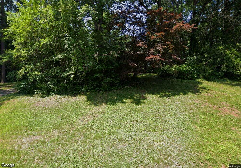
529 Anderson Ave Salisbury, NC 28144
Estimated Value: $428,467 - $466,000
--
Bed
3
Baths
2,273
Sq Ft
$198/Sq Ft
Est. Value
About This Home
This home is located at 529 Anderson Ave, Salisbury, NC 28144 and is currently estimated at $450,117, approximately $198 per square foot. 529 Anderson Ave is a home located in Rowan County with nearby schools including Carroll T Overton Elementary School, Knox Middle School, and North Rowan Middle School.
Ownership History
Date
Name
Owned For
Owner Type
Purchase Details
Closed on
Nov 17, 2006
Sold by
Collett R Webster and Collett Betsy J
Bought by
Murdoch Worth M and Guarini Eleanor J
Current Estimated Value
Home Financials for this Owner
Home Financials are based on the most recent Mortgage that was taken out on this home.
Original Mortgage
$100,000
Outstanding Balance
$59,483
Interest Rate
6.31%
Mortgage Type
Purchase Money Mortgage
Estimated Equity
$390,634
Create a Home Valuation Report for This Property
The Home Valuation Report is an in-depth analysis detailing your home's value as well as a comparison with similar homes in the area
Home Values in the Area
Average Home Value in this Area
Purchase History
| Date | Buyer | Sale Price | Title Company |
|---|---|---|---|
| Murdoch Worth M | $225,000 | None Available |
Source: Public Records
Mortgage History
| Date | Status | Borrower | Loan Amount |
|---|---|---|---|
| Open | Murdoch Worth M | $100,000 |
Source: Public Records
Tax History Compared to Growth
Tax History
| Year | Tax Paid | Tax Assessment Tax Assessment Total Assessment is a certain percentage of the fair market value that is determined by local assessors to be the total taxable value of land and additions on the property. | Land | Improvement |
|---|---|---|---|---|
| 2025 | $4,673 | $390,723 | $75,000 | $315,723 |
| 2024 | $4,673 | $390,723 | $75,000 | $315,723 |
| 2023 | $4,673 | $390,723 | $75,000 | $315,723 |
| 2022 | $3,539 | $256,981 | $75,000 | $181,981 |
| 2021 | $3,539 | $256,981 | $75,000 | $181,981 |
| 2020 | $3,539 | $256,981 | $75,000 | $181,981 |
| 2019 | $3,539 | $256,981 | $75,000 | $181,981 |
| 2018 | $3,217 | $236,758 | $75,000 | $161,758 |
| 2017 | $3,200 | $236,758 | $75,000 | $161,758 |
| 2016 | $3,112 | $236,758 | $75,000 | $161,758 |
| 2015 | $3,131 | $236,758 | $75,000 | $161,758 |
| 2014 | $3,202 | $245,026 | $75,000 | $170,026 |
Source: Public Records
Map
Nearby Homes
- 241 Stonewall Rd
- 316 W 14th St
- 321 W 14th St
- 921 Confederate Ave
- 2 Pickett Ave
- 105 W 17th St
- 1231 Maxwell St
- 209 11th St
- 911 S Spencer Ave
- 1550 N Lee St
- 910 S Spencer Ave
- 11 Pine Tree Rd
- 212 E 11th St
- 324 Club Dr
- 227 W 11th St
- 1201 N Church St
- 203 W 11th St
- 223 W 11th St
- 931 Cedar St Unit 1
- 815 Cedar St
- 603 Anderson Ave
- 100 Sudley Cir
- 100 Sudley Cir Unit 20
- 600 Anderson Ave
- 607 Anderson Ave
- 104 Sudley Cir
- 604 Anderson Ave
- 28 Beauregard Dr
- 105 Sudley Cir
- 30 Beauregard Dr
- 521 Anderson Ave
- 32 Beauregard Dr
- 300 Stuart St
- 615 Anderson Ave
- 18 Kershaw Ct
- 19 Kershaw Ct
- 519 Anderson Ave
- 112 Sudley Cir
- 22 Beauregard Dr
- 307 Bethel Dr
