
Elizabeth Finley
eXp Realty of California, Inc
(760) 621-7934
35 Total Sales
1 in Downtown Oceanside
$1,450,000 Price
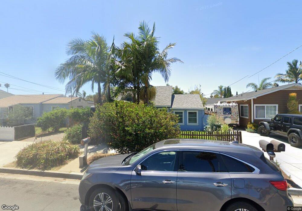
Estimated Value: $741,636 - $989,000
This home is located at 529 Brooks St, Oceanside, CA 92054 and is currently estimated at $852,159, approximately $1,260 per square foot. 529 Brooks St is a home located in San Diego County with nearby schools including Laurel Elementary School, Lincoln Middle School, and Oceanside High School.
We collect this data history from publicly available records. To have your information removed, we recommend requesting removal directly through your county’s website.
Elizabeth Finley
eXp Realty of California, Inc
(760) 621-7934
35 Total Sales
1 in Downtown Oceanside
$1,450,000 Price
Rick McCandless
RE/MAX Connections
(858) 905-5201
69 Total Sales
2 in Downtown Oceanside
$1,725,000 Price Range
Woody Henderson
American Dreams Real Estate
(858) 221-4971
105 Total Sales
1 in Downtown Oceanside
$690,000 Price
Agne Isidro
Innovate Realty, Inc.
(858) 757-8350
61 Total Sales
1 in Downtown Oceanside
$673,000 Price
Thomas Stewart
Real Brokerage Technologies
(760) 456-8913
41 Total Sales
1 in Downtown Oceanside
$1,655,000 Price
Kevin Laurent
First Team Real Estate
(858) 352-7614
69 Total Sales
2 in Downtown Oceanside
$710,000 Price Range
We collect this data history from publicly available records. To have your information removed, we recommend requesting removal directly through your county’s website.
| Date | Buyer | Sale Price | Title Company |
|---|---|---|---|
| $650,000 | Ticor Title | ||
| Sakoda Robert T | -- | None Available | |
| -- | $65,500 | -- |
We collect this data history from publicly available records. To have your information removed, we recommend requesting removal directly through your county’s website.
| Year | Tax Paid | Tax Assessment Tax Assessment Total Assessment is a certain percentage of the fair market value that is determined by local assessors to be the total taxable value of land and additions on the property. | Land | Improvement |
|---|---|---|---|---|
| 2026 | $7,609 | $689,784 | $615,500 | $74,284 |
| 2025 | $7,464 | $676,260 | $603,432 | $72,828 |
| 2024 | $7,464 | $663,000 | $591,600 | $71,400 |
| 2023 | $1,432 | $132,072 | $73,261 | $58,811 |
| 2022 | $1,409 | $129,483 | $71,825 | $57,658 |
| 2021 | $1,413 | $126,945 | $70,417 | $56,528 |
| 2020 | $1,369 | $125,644 | $69,695 | $55,949 |
| 2019 | $1,329 | $123,181 | $68,329 | $54,852 |
| 2018 | $1,314 | $120,767 | $66,990 | $53,777 |
| 2017 | $1,288 | $118,400 | $65,677 | $52,723 |
| 2016 | $1,245 | $116,080 | $64,390 | $51,690 |
| 2015 | $1,208 | $114,337 | $63,423 | $50,914 |
| 2014 | $1,162 | $112,098 | $62,181 | $49,917 |
Ask me questions while you tour the home.