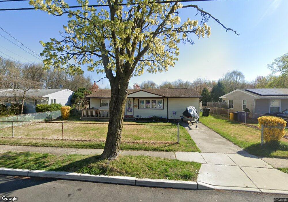
529 N Coles Ave Maple Shade, NJ 08052
Estimated Value: $278,000 - $314,000
--
Bed
--
Bath
1,134
Sq Ft
$263/Sq Ft
Est. Value
About This Home
This home is located at 529 N Coles Ave, Maple Shade, NJ 08052 and is currently estimated at $298,196, approximately $262 per square foot. 529 N Coles Ave is a home located in Burlington County with nearby schools including Ralph J Steinhauer Elementary School, Maude M. Wilkins Elementary School, and Howard R Yocum School.
Ownership History
Date
Name
Owned For
Owner Type
Purchase Details
Closed on
Jun 30, 2000
Sold by
Eksterowicz Joseph A and Eksterowicz Leona A
Bought by
Durst Frank P and Durst Joan B
Current Estimated Value
Home Financials for this Owner
Home Financials are based on the most recent Mortgage that was taken out on this home.
Original Mortgage
$97,000
Outstanding Balance
$35,373
Interest Rate
8.5%
Estimated Equity
$262,823
Create a Home Valuation Report for This Property
The Home Valuation Report is an in-depth analysis detailing your home's value as well as a comparison with similar homes in the area
Home Values in the Area
Average Home Value in this Area
Purchase History
| Date | Buyer | Sale Price | Title Company |
|---|---|---|---|
| Durst Frank P | $100,000 | -- |
Source: Public Records
Mortgage History
| Date | Status | Borrower | Loan Amount |
|---|---|---|---|
| Open | Durst Frank P | $97,000 |
Source: Public Records
Tax History Compared to Growth
Tax History
| Year | Tax Paid | Tax Assessment Tax Assessment Total Assessment is a certain percentage of the fair market value that is determined by local assessors to be the total taxable value of land and additions on the property. | Land | Improvement |
|---|---|---|---|---|
| 2025 | $5,740 | $151,200 | $48,900 | $102,300 |
| 2024 | $5,573 | $151,200 | $48,900 | $102,300 |
| 2023 | $5,573 | $151,200 | $48,900 | $102,300 |
| 2022 | $5,487 | $151,200 | $48,900 | $102,300 |
| 2021 | $5,434 | $151,200 | $48,900 | $102,300 |
| 2020 | $5,449 | $151,200 | $48,900 | $102,300 |
| 2019 | $5,250 | $151,200 | $48,900 | $102,300 |
| 2018 | $5,159 | $151,200 | $48,900 | $102,300 |
| 2017 | $5,098 | $151,200 | $48,900 | $102,300 |
| 2016 | $5,023 | $151,200 | $48,900 | $102,300 |
| 2015 | $4,914 | $151,200 | $48,900 | $102,300 |
| 2014 | $4,764 | $151,200 | $48,900 | $102,300 |
Source: Public Records
Map
Nearby Homes
- 12 Collins Ln
- 432 N Coles Ave
- 4 W Germantown Ave
- 41 Orchard Ave
- 301 N Coles Ave
- 3422 Palace Ct
- 8534 Orchard Ave
- 218 E Germantown Ave
- 8704 Park Ave
- 480 W Front St
- 3423 New Jersey Ct
- 29 W Broadway
- 8337 Herbert Ave
- 48 N Terrace Ave
- 505 Greenwood Ave
- 8331 Stockton Ave
- 8515 Bryn Mawr Ave
- 22 Theodore Ave
- 19 Farnsworth Ave
- 8223 Bryn Mawr Ave
- 525 N Coles Ave
- 533 N Coles Ave
- 521 N Coles Ave
- 537 N Coles Ave
- 524 N Coles Ave
- 520 N Coles Ave
- 528 N Coles Ave
- 516 N Coles Ave
- 517 N Coles Ave
- 541 N Coles Ave
- 512 N Coles Ave
- 10 Merion Ln
- 513 N Coles Ave
- 545 N Coles Ave
- 532 N Coles Ave
- 11 Indian Queen Ln
- 509 N Coles Ave
- 15 Indian Queen Ln
- 14 Merion Ln
- 549 N Coles Ave