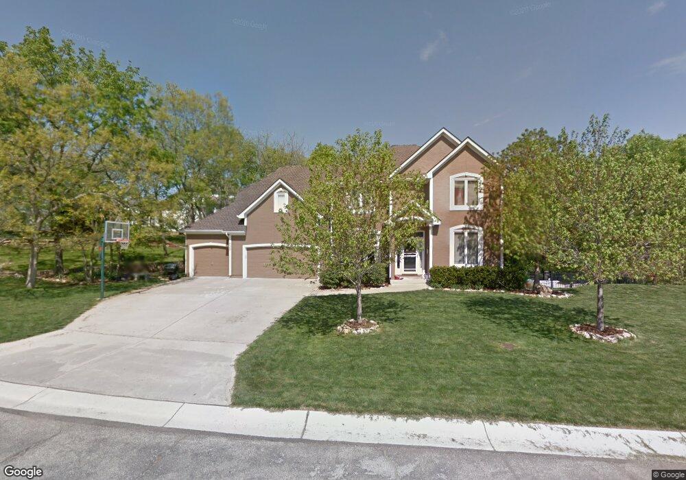
529 NW Highcliffe Dr Lees Summit, MO 64081
Estimated Value: $496,000 - $572,000
4
Beds
4
Baths
2,744
Sq Ft
$194/Sq Ft
Est. Value
About This Home
This home is located at 529 NW Highcliffe Dr, Lees Summit, MO 64081 and is currently estimated at $532,514, approximately $194 per square foot. 529 NW Highcliffe Dr is a home located in Jackson County with nearby schools including Cedar Creek Elementary School, Pleasant Lea Middle School, and Lee's Summit Senior High School.
Ownership History
Date
Name
Owned For
Owner Type
Purchase Details
Closed on
Aug 25, 2010
Sold by
Vannorman Randall P and Van Norman Patricia L
Bought by
Vannorman Randall P and Van Norman Patricia L
Current Estimated Value
Home Financials for this Owner
Home Financials are based on the most recent Mortgage that was taken out on this home.
Original Mortgage
$232,000
Interest Rate
4.6%
Mortgage Type
New Conventional
Purchase Details
Closed on
Nov 11, 2008
Sold by
Vannorman Randall P and Vannorman Van Norman
Bought by
Vannorman Randall P and Vannorman Van Norman
Purchase Details
Closed on
Aug 23, 1999
Bought by
Norman Randall P
Home Financials for this Owner
Home Financials are based on the most recent Mortgage that was taken out on this home.
Original Mortgage
$199,150
Interest Rate
7.68%
Mortgage Type
New Conventional
Create a Home Valuation Report for This Property
The Home Valuation Report is an in-depth analysis detailing your home's value as well as a comparison with similar homes in the area
Home Values in the Area
Average Home Value in this Area
Purchase History
| Date | Buyer | Sale Price | Title Company |
|---|---|---|---|
| Vannorman Randall P | -- | Assured Quality Title Co | |
| Vannorman Randall P | -- | Assured Quality Title Co | |
| Vannorman Randall P | -- | None Available | |
| Norman Randall P | -- | -- |
Source: Public Records
Mortgage History
| Date | Status | Borrower | Loan Amount |
|---|---|---|---|
| Closed | Vannorman Randall P | $232,000 | |
| Closed | Norman Randall P | $199,150 |
Source: Public Records
Tax History
| Year | Tax Paid | Tax Assessment Tax Assessment Total Assessment is a certain percentage of the fair market value that is determined by local assessors to be the total taxable value of land and additions on the property. | Land | Improvement |
|---|---|---|---|---|
| 2025 | $5,447 | $83,423 | $12,618 | $70,805 |
| 2024 | $5,447 | $75,430 | $13,815 | $61,615 |
| 2023 | $5,407 | $75,430 | $13,815 | $61,615 |
| 2022 | $5,092 | $63,080 | $10,222 | $52,858 |
| 2021 | $5,198 | $63,080 | $10,222 | $52,858 |
| 2020 | $5,249 | $63,080 | $10,222 | $52,858 |
| 2019 | $5,105 | $63,080 | $10,222 | $52,858 |
| 2018 | $1,009,446 | $62,916 | $6,566 | $56,350 |
| 2017 | $5,487 | $62,916 | $6,566 | $56,350 |
| 2016 | $4,821 | $54,720 | $6,403 | $48,317 |
Source: Public Records
Map
Nearby Homes
- 2122 NW Ashurst Dr
- 433 NW Kaylea Ct
- 334 NW Ambersham Dr
- 130 NW Ambersham Dr
- 2070 NW O'Brien Rd
- 2086 NW O'Brien Rd
- 2090 NW O'Brien Rd
- 2214 NW Killarney Ln
- 2123 NW Killarney Ln
- 2127 NW Killarney Ln
- 209 NW Cody Dr
- 2032 SW British Dr
- 2635 NW Ashurst Ln
- 209 SW Pryor Rd
- 248 SW Winterpark Cir
- 955 NW High Point Dr
- 200 SW Yost Ave
- 129 NW Morton Dr
- 2114 NW Killarney Ln
- 305 SW Marion Ln
- 525 NW Highcliffe Ct
- 516 NW Highcliffe Dr
- 2205 NW Wellington Ct
- 520 NW Highcliffe Dr
- 2213 NW Wellington Ct
- 521 NW Highcliffe Ct
- 524 NW Highcliffe Dr
- 2201 NW Wellington Ct
- 513 NW Highcliffe Ct
- 517 NW Highcliffe Ct
- 509 NW Highcliffe Dr
- 600 NW Highcliffe Dr
- 2208 NW Wellington Ct
- 2212 NW Wellington Ct
- 2200 NW Wellington Ct
- 2204 NW Wellington Ct
- 505 NW Brookhaven Dr
- 2216 NW Wellington Ct
- 509 NW Brookhaven Dr
- 508 NW Highcliffe Dr
Your Personal Tour Guide
Ask me questions while you tour the home.