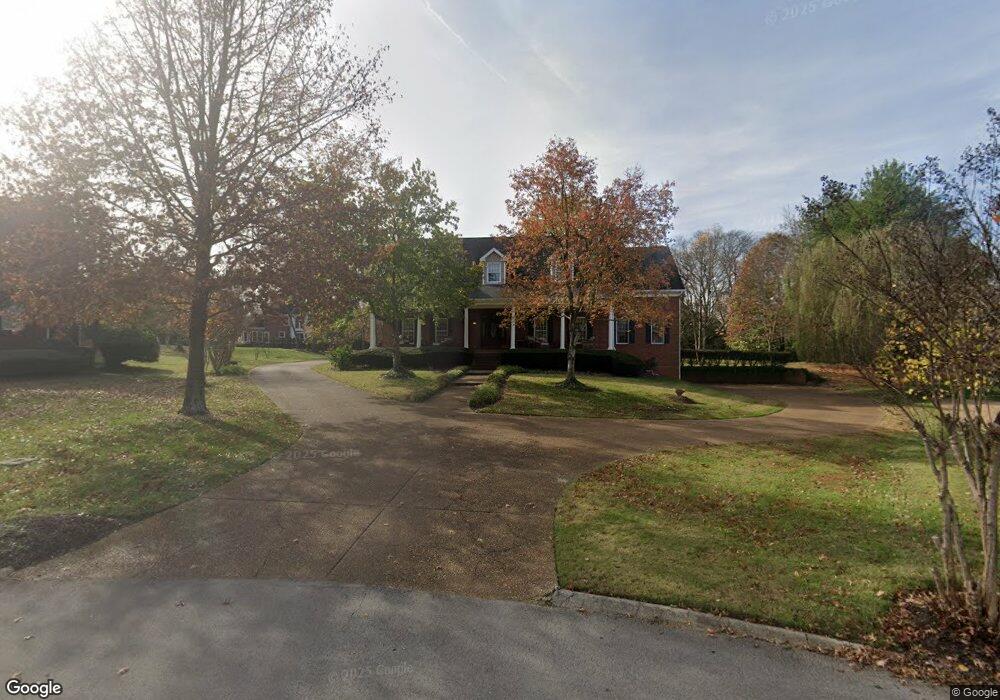
529 Robards Cir Old Hickory, TN 37138
Lakewood NeighborhoodEstimated Value: $983,255 - $1,223,000
4
Beds
4
Baths
4,255
Sq Ft
$260/Sq Ft
Est. Value
About This Home
This home is located at 529 Robards Cir, Old Hickory, TN 37138 and is currently estimated at $1,104,564, approximately $259 per square foot. 529 Robards Cir is a home located in Davidson County with nearby schools including Andrew Jackson Elementary School, Dupont-Hadley Middle School, and McGavock High School.
Ownership History
Date
Name
Owned For
Owner Type
Purchase Details
Closed on
May 17, 2021
Sold by
Mcpeters K Rod K and Mcpeters Vickie L
Bought by
Standford William Scott and Standford Cynthia O
Current Estimated Value
Purchase Details
Closed on
Sep 20, 2004
Sold by
Bank One Na
Bought by
Mcpeters K Rod and Mcpeters Vickie L
Home Financials for this Owner
Home Financials are based on the most recent Mortgage that was taken out on this home.
Original Mortgage
$395,000
Interest Rate
5.78%
Mortgage Type
Unknown
Purchase Details
Closed on
May 7, 2004
Sold by
Knight J B and Knight Andrea
Bought by
Bank One Na
Purchase Details
Closed on
Aug 31, 1994
Sold by
Brandywine Pointe Partners Lp
Bought by
Knight J B
Create a Home Valuation Report for This Property
The Home Valuation Report is an in-depth analysis detailing your home's value as well as a comparison with similar homes in the area
Home Values in the Area
Average Home Value in this Area
Purchase History
| Date | Buyer | Sale Price | Title Company |
|---|---|---|---|
| Standford William Scott | $845,000 | Stewart Title Company Tn | |
| Mcpeters K Rod | $395,000 | Castleman Title & Escrow Llc | |
| Bank One Na | $386,286 | -- | |
| Knight J B | $65,000 | -- |
Source: Public Records
Mortgage History
| Date | Status | Borrower | Loan Amount |
|---|---|---|---|
| Previous Owner | Mcpeters K Rod | $395,000 |
Source: Public Records
Tax History Compared to Growth
Tax History
| Year | Tax Paid | Tax Assessment Tax Assessment Total Assessment is a certain percentage of the fair market value that is determined by local assessors to be the total taxable value of land and additions on the property. | Land | Improvement |
|---|---|---|---|---|
| 2024 | $4,473 | $153,075 | $32,500 | $120,575 |
| 2023 | $4,473 | $153,075 | $32,500 | $120,575 |
| 2022 | $5,798 | $153,075 | $32,500 | $120,575 |
| 2021 | $4,520 | $153,075 | $32,500 | $120,575 |
| 2020 | $5,086 | $134,275 | $37,500 | $96,775 |
| 2019 | $3,699 | $134,275 | $37,500 | $96,775 |
Source: Public Records
Map
Nearby Homes
- 203 Rising Sun Terrace
- 433 Rolling Mill Rd
- 311 Rising Sun Ln
- 4016 Brandywine Pointe Blvd
- 337 Shute Ln
- 2105 Chels Way
- 61 Harbor Cove Dr
- 325 Shute Ln
- 4157 Brandywine Pointe Blvd
- 207 Kennett Rd
- 103 Cherry Branch Ln
- 17 Harbor Cove Dr
- 301 Brandywine Dr
- 521 General Kershaw Dr
- 225 Ashawn Blvd
- 805 Azura Landing
- 1320 Autumn Springs Ln
- 210 Sterling Rd
- 220 Sterling Rd
- 1033 Wyntergrace Farm Rd
- 525 Robards Cir
- 533 Robards Cir
- 908 Brandywine Cir
- 521 Robards Cir
- 912 Brandywine Cir
- 904 Brandywine Cir
- 537 Robards Cir
- 345 Willow Bough Ln
- 520 Robards Cir
- 341 Willow Bough Ln
- 349 Willow Bough Ln
- 517 Robards Cir
- 149 Shute Cir
- 145 Shute Cir
- 909 Brandywine Cir
- 153 Shute Cir
- 337 Willow Bough Ln
- 541 Robards Cir
- 905 Brandywine Cir
- 512 Robards Cir