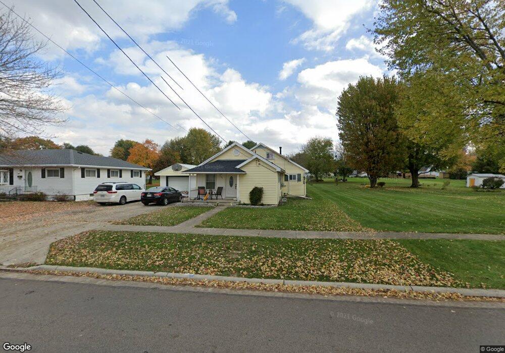
529 S Warpole St Upper Sandusky, OH 43351
Estimated Value: $143,000 - $158,047
3
Beds
2
Baths
2,040
Sq Ft
$72/Sq Ft
Est. Value
About This Home
This home is located at 529 S Warpole St, Upper Sandusky, OH 43351 and is currently estimated at $147,012, approximately $72 per square foot. 529 S Warpole St is a home located in Wyandot County with nearby schools including Upper Sandusky High School and St. Peter Elementary School.
Ownership History
Date
Name
Owned For
Owner Type
Purchase Details
Closed on
Jul 15, 2015
Sold by
Ashbrook Michael D and Ashbrook Celeste
Bought by
Barth Reid E
Current Estimated Value
Home Financials for this Owner
Home Financials are based on the most recent Mortgage that was taken out on this home.
Original Mortgage
$70,695
Outstanding Balance
$55,430
Interest Rate
4.02%
Mortgage Type
Stand Alone Second
Estimated Equity
$91,582
Purchase Details
Closed on
Jun 3, 2010
Sold by
Roszman Eugene A and Roszman Sheila L
Bought by
Ashbrook Michael D and Ashbrook Celeste
Home Financials for this Owner
Home Financials are based on the most recent Mortgage that was taken out on this home.
Original Mortgage
$56,632
Interest Rate
5.05%
Create a Home Valuation Report for This Property
The Home Valuation Report is an in-depth analysis detailing your home's value as well as a comparison with similar homes in the area
Home Values in the Area
Average Home Value in this Area
Purchase History
| Date | Buyer | Sale Price | Title Company |
|---|---|---|---|
| Barth Reid E | $72,000 | None Available | |
| Ashbrook Michael D | $55,500 | None Available |
Source: Public Records
Mortgage History
| Date | Status | Borrower | Loan Amount |
|---|---|---|---|
| Open | Barth Reid E | $70,695 | |
| Previous Owner | Ashbrook Michael D | $56,632 |
Source: Public Records
Tax History Compared to Growth
Tax History
| Year | Tax Paid | Tax Assessment Tax Assessment Total Assessment is a certain percentage of the fair market value that is determined by local assessors to be the total taxable value of land and additions on the property. | Land | Improvement |
|---|---|---|---|---|
| 2024 | $2,014 | $38,520 | $5,020 | $33,500 |
| 2023 | $1,255 | $38,520 | $5,020 | $33,500 |
| 2022 | $1,255 | $29,670 | $4,080 | $25,590 |
| 2021 | $1,011 | $29,670 | $4,080 | $25,590 |
| 2020 | $1,011 | $29,670 | $4,080 | $25,590 |
| 2019 | $1,009 | $29,670 | $4,080 | $25,590 |
| 2018 | $557 | $16,660 | $3,420 | $13,240 |
| 2017 | $565 | $16,660 | $3,420 | $13,240 |
| 2016 | -- | $16,660 | $3,420 | $13,240 |
| 2015 | -- | $15,620 | $3,420 | $12,200 |
| 2014 | -- | $15,620 | $3,420 | $12,200 |
| 2013 | -- | $15,620 | $3,420 | $12,200 |
Source: Public Records
Map
Nearby Homes
- 515 S Warpole St
- 443 Mcconnell St
- 533 S Warpole St
- 447 Mcconnell St
- 439 Mcconnell St
- 437 Mcconnell St
- 539 S Warpole St
- 528 S Warpole St
- 510 S Warpole St
- 532 S Warpole St
- 506 S Warpole St
- 545 S Warpole St
- 415 S Warpole St
- 435 Mcconnell St
- 501 Mcconnell St Unit 503
- 540 S Warpole St
- 502 Mcconnell St
- 428 Mcconnell St
- 547 S Warpole St
- 401 Warpole St (Lease)