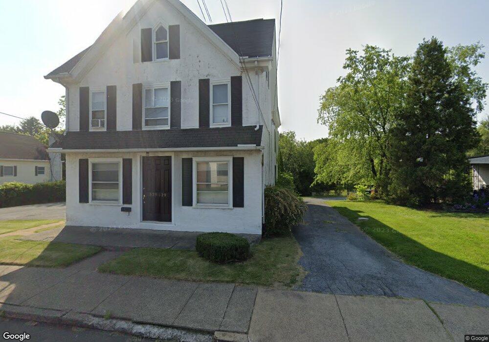
529 State St Pottstown, PA 19464
Manatawny-Farmington NeighborhoodEstimated Value: $246,000 - $310,000
--
Bed
2
Baths
2,650
Sq Ft
$104/Sq Ft
Est. Value
About This Home
This home is located at 529 State St, Pottstown, PA 19464 and is currently estimated at $275,568, approximately $103 per square foot. 529 State St is a home located in Montgomery County with nearby schools including Pottstown Middle School, Pottstown Senior High School, and West-Mont Christian Academy.
Ownership History
Date
Name
Owned For
Owner Type
Purchase Details
Closed on
Jun 18, 2019
Sold by
Plotts Yeoman Tanya
Bought by
Yeoman Tanya Plotts and Yeoman William
Current Estimated Value
Purchase Details
Closed on
Jul 22, 2011
Sold by
Moles Charles L
Bought by
Plotts Robert A
Home Financials for this Owner
Home Financials are based on the most recent Mortgage that was taken out on this home.
Original Mortgage
$111,200
Interest Rate
4.51%
Purchase Details
Closed on
Aug 10, 2005
Sold by
Rupert Randy C
Bought by
Moles Charles L
Create a Home Valuation Report for This Property
The Home Valuation Report is an in-depth analysis detailing your home's value as well as a comparison with similar homes in the area
Home Values in the Area
Average Home Value in this Area
Purchase History
| Date | Buyer | Sale Price | Title Company |
|---|---|---|---|
| Yeoman Tanya Plotts | -- | None Available | |
| Plotts-Yeoman Tanya | -- | None Available | |
| Plotts Robert A | $138,860 | None Available | |
| Moles Charles L | -- | -- |
Source: Public Records
Mortgage History
| Date | Status | Borrower | Loan Amount |
|---|---|---|---|
| Previous Owner | Plotts Robert A | $111,200 |
Source: Public Records
Tax History Compared to Growth
Tax History
| Year | Tax Paid | Tax Assessment Tax Assessment Total Assessment is a certain percentage of the fair market value that is determined by local assessors to be the total taxable value of land and additions on the property. | Land | Improvement |
|---|---|---|---|---|
| 2025 | $4,640 | $75,600 | -- | -- |
| 2024 | $4,640 | $75,600 | -- | -- |
| 2023 | $4,576 | $75,600 | $0 | $0 |
| 2022 | $4,553 | $75,600 | $0 | $0 |
| 2021 | $4,501 | $75,600 | $0 | $0 |
| 2020 | $4,422 | $75,600 | $0 | $0 |
| 2019 | $4,321 | $75,600 | $0 | $0 |
| 2018 | $3,071 | $75,600 | $0 | $0 |
| 2017 | $4,040 | $75,600 | $0 | $0 |
| 2016 | $4,011 | $75,600 | $0 | $0 |
| 2015 | $3,985 | $75,600 | $0 | $0 |
| 2014 | $3,985 | $75,600 | $0 | $0 |
Source: Public Records
Map
Nearby Homes
- 559 Belmont St
- 409 N York St
- 443 Manatawny St
- 700 Farmington Ave Unit 40
- 551 Upland St
- 22 E 6th St
- 817 N State St
- 505 N Hanover St
- 19 W 4th St
- 646 Willow St
- 370 N Hanover St
- 60 W 3rd St
- 666 Manatawny St
- 742 N Hanover St
- 368 Spruce St
- 662 Spruce St
- 526 N Charlotte St
- 516 N Charlotte St
- 44 E 2nd St
- 48 E 2nd St