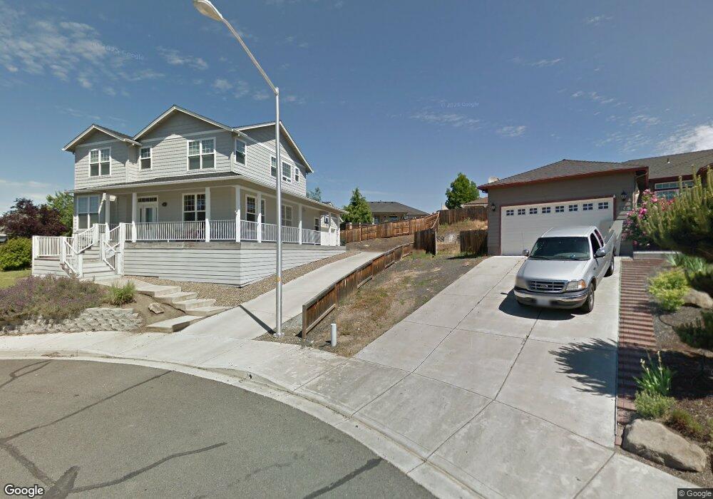
529 Westfield Ct Eagle Point, OR 97524
Estimated Value: $452,000 - $522,000
3
Beds
3
Baths
2,317
Sq Ft
$208/Sq Ft
Est. Value
About This Home
This home is located at 529 Westfield Ct, Eagle Point, OR 97524 and is currently estimated at $481,744, approximately $207 per square foot. 529 Westfield Ct is a home located in Jackson County with nearby schools including Eagle Rock Elementary School, Eagle Point Middle School, and White Mountain Middle School.
Ownership History
Date
Name
Owned For
Owner Type
Purchase Details
Closed on
Aug 8, 2003
Sold by
Crown West Developments
Bought by
Jones Marc and Jones Emily
Current Estimated Value
Home Financials for this Owner
Home Financials are based on the most recent Mortgage that was taken out on this home.
Original Mortgage
$213,700
Interest Rate
5.17%
Mortgage Type
Construction
Create a Home Valuation Report for This Property
The Home Valuation Report is an in-depth analysis detailing your home's value as well as a comparison with similar homes in the area
Home Values in the Area
Average Home Value in this Area
Purchase History
| Date | Buyer | Sale Price | Title Company |
|---|---|---|---|
| Jones Marc | $51,400 | Lawyers Title Insurance Corp |
Source: Public Records
Mortgage History
| Date | Status | Borrower | Loan Amount |
|---|---|---|---|
| Closed | Jones Marc | $213,700 |
Source: Public Records
Tax History
| Year | Tax Paid | Tax Assessment Tax Assessment Total Assessment is a certain percentage of the fair market value that is determined by local assessors to be the total taxable value of land and additions on the property. | Land | Improvement |
|---|---|---|---|---|
| 2026 | $4,025 | $295,810 | -- | -- |
| 2025 | $3,930 | $287,200 | $73,950 | $213,250 |
| 2024 | $3,930 | $278,840 | $71,800 | $207,040 |
| 2023 | $3,797 | $270,720 | $69,720 | $201,000 |
| 2022 | $3,693 | $270,720 | $69,720 | $201,000 |
| 2021 | $3,584 | $262,840 | $67,700 | $195,140 |
| 2020 | $3,807 | $255,190 | $65,730 | $189,460 |
| 2019 | $3,749 | $240,550 | $61,960 | $178,590 |
| 2018 | $3,678 | $233,550 | $60,150 | $173,400 |
| 2017 | $3,587 | $233,550 | $60,150 | $173,400 |
| 2016 | $3,517 | $220,150 | $56,690 | $163,460 |
| 2015 | $3,402 | $220,150 | $56,690 | $163,460 |
| 2014 | $3,305 | $207,520 | $53,430 | $154,090 |
Source: Public Records
Map
Nearby Homes
- 1017 Havenwood Dr
- 426 Westminster Dr
- 438 Westminster Dr
- 208 Northview Dr Unit 1B
- 1023 Highlands Dr
- 945 Win Way
- 584 Barton Rd
- 911 Stonewater Dr
- 917 Stonewater Dr
- 912 Stonewater Dr
- 925 Sellwood Dr
- 110 Linton Way
- 700 Nottingham Terrace
- 712 Nottingham Terrace
- 460 Montclair Way
- 403 N Deanjou Ave
- 407 N Deanjou Ave
- 417 Crystal Dr
- 417 E Rolling Hills Dr
- 633 E Archwood Dr Unit 89
- 917 Ridgeview Dr
- 523 Westfield Ct
- 526 Westfield Ct
- 925 Ridgeview Dr
- 909 Ridgeview Dr
- 522 Westfield Ct
- 899 Ridgeview Dr
- 933 Ridgeview Dr
- 517 Westfield Ct
- 516 Westfield Ct
- 939 Ridgeview Dr
- 893 Ridgeview Dr
- 525 Winston Ct
- 511 Westfield Ct
- 947 Ridgeview Dr
- 508 Westfield Ct
- 519 Winston Ct
- 887 Ridgeview Dr
- 920 Ridgeview Dr
- 926 Ridgeview Dr
Your Personal Tour Guide
Ask me questions while you tour the home.