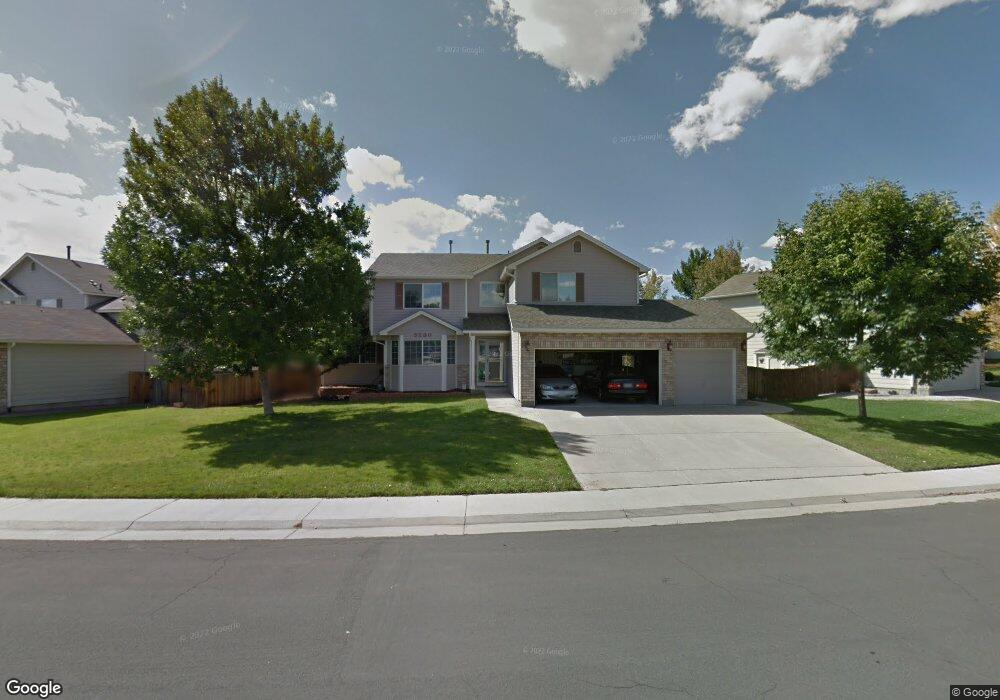
5290 E 131st Dr Thornton, CO 80241
Estimated Value: $623,497 - $689,000
4
Beds
4
Baths
2,641
Sq Ft
$247/Sq Ft
Est. Value
About This Home
This home is located at 5290 E 131st Dr, Thornton, CO 80241 and is currently estimated at $652,874, approximately $247 per square foot. 5290 E 131st Dr is a home located in Adams County with nearby schools including Eagleview Elementary School, Rocky Top Middle School, and Horizon High School.
Ownership History
Date
Name
Owned For
Owner Type
Purchase Details
Closed on
May 15, 2009
Sold by
Cindy G Syme Living Trust
Bought by
Syme W Randy and Syme Cindy G
Current Estimated Value
Purchase Details
Closed on
Aug 14, 2001
Sold by
Syme W Randy and Syme Cindy
Bought by
Cindy G Syme Living Trust
Purchase Details
Closed on
Mar 19, 1997
Sold by
Melody Homes Inc
Bought by
Syme W Randy and Syme Cindy
Home Financials for this Owner
Home Financials are based on the most recent Mortgage that was taken out on this home.
Original Mortgage
$149,537
Interest Rate
8.75%
Create a Home Valuation Report for This Property
The Home Valuation Report is an in-depth analysis detailing your home's value as well as a comparison with similar homes in the area
Purchase History
| Date | Buyer | Sale Price | Title Company |
|---|---|---|---|
| Syme W Randy | -- | None Available | |
| Cindy G Syme Living Trust | $500 | None Available | |
| Syme W Randy | $175,927 | Land Title |
Source: Public Records
Mortgage History
| Date | Status | Borrower | Loan Amount |
|---|---|---|---|
| Previous Owner | Syme W Randy | $149,537 |
Source: Public Records
Tax History
| Year | Tax Paid | Tax Assessment Tax Assessment Total Assessment is a certain percentage of the fair market value that is determined by local assessors to be the total taxable value of land and additions on the property. | Land | Improvement |
|---|---|---|---|---|
| 2025 | $3,851 | $45,290 | $9,320 | $35,970 |
| 2024 | $3,851 | $41,620 | $8,560 | $33,060 |
| 2023 | $3,812 | $47,690 | $6,830 | $40,860 |
| 2022 | $2,964 | $33,860 | $7,020 | $26,840 |
| 2021 | $3,064 | $33,860 | $7,020 | $26,840 |
| 2020 | $2,839 | $32,600 | $7,220 | $25,380 |
| 2019 | $2,845 | $32,600 | $7,220 | $25,380 |
| 2018 | $2,556 | $29,410 | $6,840 | $22,570 |
| 2017 | $2,324 | $29,410 | $6,840 | $22,570 |
| 2016 | $1,816 | $24,860 | $4,220 | $20,640 |
| 2015 | $2,668 | $24,860 | $4,220 | $20,640 |
| 2014 | $2,482 | $22,480 | $3,660 | $18,820 |
Source: Public Records
Map
Nearby Homes
- 13271 Holly St Unit B
- 5341 E 129th Way
- 4756 E 129th Place
- 5375 E 128th Dr
- 13222 Clermont Cir
- 13212 Clermont Cir
- 5628 Hudson Cir
- 5024 E 127th Way
- 12993 Birch Dr
- 13190 Kearney St
- 13349 Krameria St
- 4087 E 133rd Cir
- 12870 Jasmine St Unit A
- 12884 Jasmine St Unit C
- 12791 Clermont St
- 12767 Ivanhoe St
- 12792 Ivy St
- 12770 Ivanhoe St
- 12768 Ivanhoe St
- 12698 Fairfax St
- 5282 E 131st Dr
- 5292 E 131st Dr
- 13106 Summit Grove Pkwy
- 5272 E 131st Dr
- 5273 E 131st Dr
- 5291 E 131st Dr
- 5293 E 131st Dr
- 5304 E 131st Way
- 5297 E 131st Dr
- 5270 E 131st Dr
- 5277 E 131st Dr
- 13105 Summit Grove Pkwy
- 13122 Summit Grove Pkwy
- 5287 E 131st Dr
- 5297 E 130th Cir
- 5324 E 131st Way
- 5262 E 131st Dr
- 5281 E 131st Dr
- 13115 Summit Grove Pkwy
- 5305 E 131st Way
Your Personal Tour Guide
Ask me questions while you tour the home.