5290 Highway 63 Speedwell, TN 37870
Estimated Value: $321,000 - $1,981,000
3
Beds
4
Baths
1,904
Sq Ft
$532/Sq Ft
Est. Value
About This Home
This home is located at 5290 Highway 63, Speedwell, TN 37870 and is currently estimated at $1,012,582, approximately $531 per square foot. 5290 Highway 63 is a home located in Claiborne County.
Ownership History
Date
Name
Owned For
Owner Type
Purchase Details
Closed on
Aug 12, 2015
Sold by
Hoskins Larkin D
Bought by
Hoskins Larkin D and Hoskins Katherine
Current Estimated Value
Purchase Details
Closed on
Aug 18, 2008
Sold by
Ward James A
Bought by
Hoskins Larkin D
Home Financials for this Owner
Home Financials are based on the most recent Mortgage that was taken out on this home.
Original Mortgage
$720,000
Interest Rate
6.21%
Purchase Details
Closed on
Aug 26, 1997
Sold by
Russell Clarence
Bought by
Ward Alice R and Ward Jessie
Purchase Details
Closed on
Jan 1, 1942
Bought by
Russell Clarence
Create a Home Valuation Report for This Property
The Home Valuation Report is an in-depth analysis detailing your home's value as well as a comparison with similar homes in the area
Home Values in the Area
Average Home Value in this Area
Purchase History
| Date | Buyer | Sale Price | Title Company |
|---|---|---|---|
| Hoskins Larkin D | -- | -- | |
| Hoskins Larkin D | $900,000 | -- | |
| Ward Alice R | $10,000 | -- | |
| Russell Clarence | -- | -- |
Source: Public Records
Mortgage History
| Date | Status | Borrower | Loan Amount |
|---|---|---|---|
| Previous Owner | Russell Clarence | $720,000 |
Source: Public Records
Tax History Compared to Growth
Tax History
| Year | Tax Paid | Tax Assessment Tax Assessment Total Assessment is a certain percentage of the fair market value that is determined by local assessors to be the total taxable value of land and additions on the property. | Land | Improvement |
|---|---|---|---|---|
| 2024 | $2,008 | $85,825 | $36,800 | $49,025 |
| 2023 | $2,008 | $85,825 | $36,800 | $49,025 |
| 2022 | $1,717 | $85,825 | $36,800 | $49,025 |
| 2021 | $1,641 | $63,675 | $30,625 | $33,050 |
| 2020 | $1,641 | $63,675 | $30,625 | $33,050 |
| 2019 | $1,641 | $63,675 | $30,625 | $33,050 |
| 2018 | $1,641 | $63,675 | $30,625 | $33,050 |
| 2017 | $1,641 | $63,675 | $30,625 | $33,050 |
| 2016 | $1,704 | $66,050 | $29,350 | $36,700 |
| 2015 | $1,638 | $66,050 | $29,350 | $36,700 |
| 2014 | $1,638 | $61,228 | $0 | $0 |
Source: Public Records
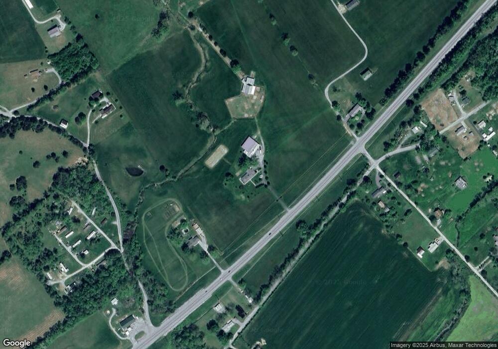
Map
Nearby Homes
- 289 Carr Gap Rd
- 0 Watson Ln Unit 1309370
- 209 Dunn Cir
- 217 Brantley Acres Rd
- 673 Aaron Davis Rd
- 317 Singleton Hollow Rd
- 317 Singleton Hollow Rd Unit lot 3
- 317 Singleton Hollow Rd Unit lot 1
- 2870 Old Highway 63
- 184 Tecumseh Tr
- 138 Ashley Ct
- 164 Ashley Ct
- 210 Brumitt Ln
- 112 Auggie Belle Ln
- 148 Auggie Belle Ln
- 132 Auggie Belle Ln
- 125 Lilac Ln
- 138 Lilac Ln
- 234 Elizabeth Russell Ln
- 309 Elizabeth Russell Ln
- 5340 Highway 63
- 5214 Highway 63
- 1937 Old Highway 63
- 2046 Old Highway 63
- 2058 Old Highway 63
- 220 Carr Gap Rd
- 163 Ausmus Ln
- 5408 Highway 63
- 122 Meadow Acres
- 1893 Old Highway 63
- 197 Ausmus Ln
- 1872 Old Highway 63
- 175 Ausmus Ln
- 1923 Old Highway 63
- 1871 Old Highway 63
- 205 Ausmus Ln
- 1850 Old Highway 63
- 1859 Old Highway 63
- 237 Ausmus Ln
- 1835 Old Highway 63