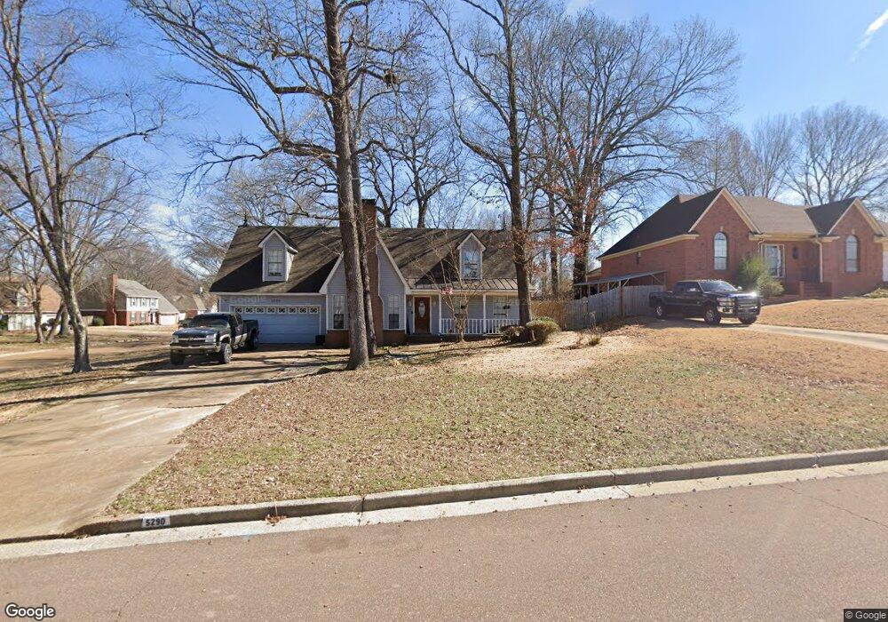
5292 Pear Dr Southaven, MS 38671
Estimated Value: $259,000 - $291,000
4
Beds
--
Bath
2,058
Sq Ft
$133/Sq Ft
Est. Value
About This Home
This home is located at 5292 Pear Dr, Southaven, MS 38671 and is currently estimated at $273,492, approximately $132 per square foot. 5292 Pear Dr is a home located in DeSoto County with nearby schools including Southaven Intermediate School, Hope Sullivan Elementary School, and Southaven Middle School.
Ownership History
Date
Name
Owned For
Owner Type
Purchase Details
Closed on
May 9, 2024
Sold by
Roberson Randy Ray
Bought by
Roberson Randy Ray and Daniels Sarah
Current Estimated Value
Purchase Details
Closed on
Aug 16, 2019
Sold by
Crouch Thomas Edward and Crouch Denette Kaye
Bought by
Roberson Randy Ray
Home Financials for this Owner
Home Financials are based on the most recent Mortgage that was taken out on this home.
Original Mortgage
$160,765
Interest Rate
3.7%
Mortgage Type
FHA
Create a Home Valuation Report for This Property
The Home Valuation Report is an in-depth analysis detailing your home's value as well as a comparison with similar homes in the area
Home Values in the Area
Average Home Value in this Area
Purchase History
| Date | Buyer | Sale Price | Title Company |
|---|---|---|---|
| Roberson Randy Ray | -- | Guardian Title | |
| Roberson Randy Ray | -- | None Available |
Source: Public Records
Mortgage History
| Date | Status | Borrower | Loan Amount |
|---|---|---|---|
| Previous Owner | Roberson Randy Ray | $160,765 |
Source: Public Records
Tax History Compared to Growth
Tax History
| Year | Tax Paid | Tax Assessment Tax Assessment Total Assessment is a certain percentage of the fair market value that is determined by local assessors to be the total taxable value of land and additions on the property. | Land | Improvement |
|---|---|---|---|---|
| 2024 | $1,925 | $13,241 | $2,000 | $11,241 |
| 2023 | $1,925 | $13,241 | $0 | $0 |
| 2022 | $1,884 | $13,241 | $2,000 | $11,241 |
| 2021 | $1,884 | $13,241 | $2,000 | $11,241 |
| 2020 | $1,750 | $12,296 | $2,000 | $10,296 |
| 2019 | $1,450 | $12,296 | $2,000 | $10,296 |
| 2017 | $1,416 | $21,982 | $11,991 | $9,991 |
| 2016 | $1,416 | $11,991 | $2,000 | $9,991 |
| 2015 | $1,708 | $21,982 | $11,991 | $9,991 |
| 2014 | $1,416 | $11,991 | $0 | $0 |
| 2013 | $1,407 | $11,991 | $0 | $0 |
Source: Public Records
Map
Nearby Homes
- 5512 Alexandria Ln
- 4505 Swinnea Rd
- 5893 Kayla Dr
- 4900 Pepper Chase Dr
- 4735 Dustin Place Dr
- 0 Pepper Chase Dr
- 0 Hat Creek Cove Unit 4121925
- 0 Hat Creek Cove Unit 4121922
- 1064 Warwick Place
- 5339 Kristy Ln
- 1020 Worthington Dr
- 840 Knotty Pine Cove
- 5448 Pollard Dr
- 672 Grant Dr
- 5353 Pollard Dr
- 1377 Trafalgar Dr
- 5330 Kalian Cove
- 1025 Jo Ann Dr
- 000 Church Rd E
- 1449 Shetland Dr
- 5290 Pear Dr
- 5270 Pear Dr
- 415 Cherry Tree Ln
- 390 Cherry Tree Ln
- 5260 Pear Dr
- 5285 Pear Dr
- 410 Cherry Tree Ln
- 433 Cherry Tree Ln
- 463 Pear Cove
- 5265 Pear Dr
- 5345 Pear Dr
- 430 Cherry Tree Ln
- 5360 Pear Dr
- 462 Pear Cove
- 5240 Pear Dr
- 5245 Pear Dr
- 5355 Pear Dr
- 450 Cherry Tree Ln
- 415 Lymon Cove
- 5272 Peach Trail Cove