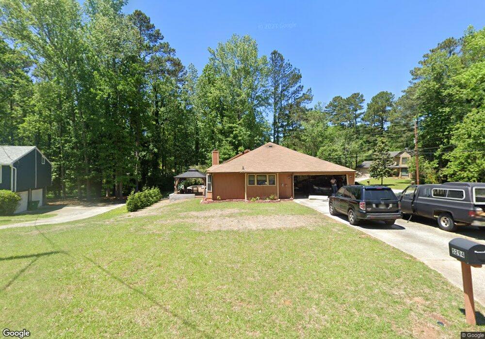
5294 Walker Rd Unit 2 Stone Mountain, GA 30088
Estimated Value: $246,659 - $279,000
3
Beds
3
Baths
1,988
Sq Ft
$132/Sq Ft
Est. Value
About This Home
This home is located at 5294 Walker Rd Unit 2, Stone Mountain, GA 30088 and is currently estimated at $261,915, approximately $131 per square foot. 5294 Walker Rd Unit 2 is a home located in DeKalb County with nearby schools including Eldridge L. Miller Elementary School, Redan Middle School, and Redan High School.
Ownership History
Date
Name
Owned For
Owner Type
Purchase Details
Closed on
Jan 16, 2002
Sold by
Davis Raymond D
Bought by
Davis Raymond D and Davis Alphonsine T
Current Estimated Value
Home Financials for this Owner
Home Financials are based on the most recent Mortgage that was taken out on this home.
Original Mortgage
$133,406
Outstanding Balance
$54,981
Interest Rate
7.16%
Mortgage Type
FHA
Estimated Equity
$206,934
Create a Home Valuation Report for This Property
The Home Valuation Report is an in-depth analysis detailing your home's value as well as a comparison with similar homes in the area
Home Values in the Area
Average Home Value in this Area
Purchase History
| Date | Buyer | Sale Price | Title Company |
|---|---|---|---|
| Davis Raymond D | -- | -- | |
| Davis Raymond D | $135,500 | -- |
Source: Public Records
Mortgage History
| Date | Status | Borrower | Loan Amount |
|---|---|---|---|
| Open | Davis Raymond D | $133,406 |
Source: Public Records
Tax History
| Year | Tax Paid | Tax Assessment Tax Assessment Total Assessment is a certain percentage of the fair market value that is determined by local assessors to be the total taxable value of land and additions on the property. | Land | Improvement |
|---|---|---|---|---|
| 2025 | $2,888 | $98,720 | $14,000 | $84,720 |
| 2024 | $2,865 | $94,360 | $14,000 | $80,360 |
| 2023 | $2,865 | $94,120 | $14,000 | $80,120 |
Source: Public Records
Map
Nearby Homes
- 5257 Post Ridge Ct
- 800 Post Road Cir
- 5450 Hedgeflower Ct
- 824 Post Road Cir
- 703 Kingsgate Ridge
- 767 Forest Path
- 826 Greenhedge Way Unit 2
- 708 Greenhedge Dr Unit 3A
- 5285 Martins Crossing Rd
- 5175 Walker Rd
- 868 Greenhedge Dr Unit 2
- 5343 Martins Crossing Rd
- 639 Royal Abbey Dr
- 5268 Fox Path
- 5232 Mainstreet Park Dr
- 5372 Martins Crossing Rd
- 670 Lost Creek Cir
- 759 Greenhedge Dr
- 5208 Mainstreet Park Dr
- 5450 Fox Haven Trail
- 5286 Walker Rd
- 954 Post Road Cir Unit I
- 5278 Walker Rd
- 5326 Post Road Pass
- 5318 Post Road Pass
- 5341 Post Road Pass
- 946 Post Road Cir
- 5310 Post Road Pass Unit I
- 5303 Walker Rd Unit 2
- 5314 Walker Rd Unit 2
- 5270 Walker Rd Unit 2
- 5349 Post Road Pass
- 938 Post Road Cir
- 5300 Post Road Pass
- 723 Post Road Trace Unit 20
- 723 Post Road Trace
- 5271 Walker Rd
- 729 Post Road Trace Unit 729
- 729 Post Road Trace
- 729 Post Road Trace Unit 2