52944 Shady Ln La Pine, OR 97739
Estimated Value: $325,000 - $422,000
2
Beds
1
Bath
984
Sq Ft
$382/Sq Ft
Est. Value
About This Home
This home is located at 52944 Shady Ln, La Pine, OR 97739 and is currently estimated at $375,438, approximately $381 per square foot. 52944 Shady Ln is a home located in Deschutes County with nearby schools including La Pine Elementary School, La Pine Middle School, and La Pine Senior High School.
Ownership History
Date
Name
Owned For
Owner Type
Purchase Details
Closed on
Jan 14, 2020
Sold by
Morgan Kenneth D and Morgan Kathleen R
Bought by
Morgan Kenneth D and Morgan Kathleen R
Current Estimated Value
Purchase Details
Closed on
Jul 24, 2006
Sold by
Gilliland Wayne R and Gilliland Barbara N
Bought by
Morgan Kenneth D and Morgan Kathleen R
Home Financials for this Owner
Home Financials are based on the most recent Mortgage that was taken out on this home.
Original Mortgage
$178,000
Outstanding Balance
$105,908
Interest Rate
6.69%
Mortgage Type
Unknown
Estimated Equity
$269,530
Create a Home Valuation Report for This Property
The Home Valuation Report is an in-depth analysis detailing your home's value as well as a comparison with similar homes in the area
Home Values in the Area
Average Home Value in this Area
Purchase History
| Date | Buyer | Sale Price | Title Company |
|---|---|---|---|
| Morgan Kenneth D | -- | None Available | |
| Morgan Kenneth D | $174,000 | Deschutes County Title Co |
Source: Public Records
Mortgage History
| Date | Status | Borrower | Loan Amount |
|---|---|---|---|
| Open | Morgan Kenneth D | $178,000 |
Source: Public Records
Tax History Compared to Growth
Tax History
| Year | Tax Paid | Tax Assessment Tax Assessment Total Assessment is a certain percentage of the fair market value that is determined by local assessors to be the total taxable value of land and additions on the property. | Land | Improvement |
|---|---|---|---|---|
| 2024 | $2,173 | $122,570 | -- | -- |
| 2023 | $2,125 | $119,000 | $0 | $0 |
| 2022 | $1,898 | $112,180 | $0 | $0 |
| 2021 | $1,910 | $108,920 | $0 | $0 |
| 2020 | $1,814 | $108,920 | $0 | $0 |
| 2019 | $1,764 | $105,750 | $0 | $0 |
| 2018 | $1,715 | $102,670 | $0 | $0 |
| 2017 | $1,670 | $99,680 | $0 | $0 |
| 2016 | $1,595 | $96,780 | $0 | $0 |
| 2015 | $1,538 | $93,970 | $0 | $0 |
| 2014 | $1,463 | $91,240 | $0 | $0 |
Source: Public Records
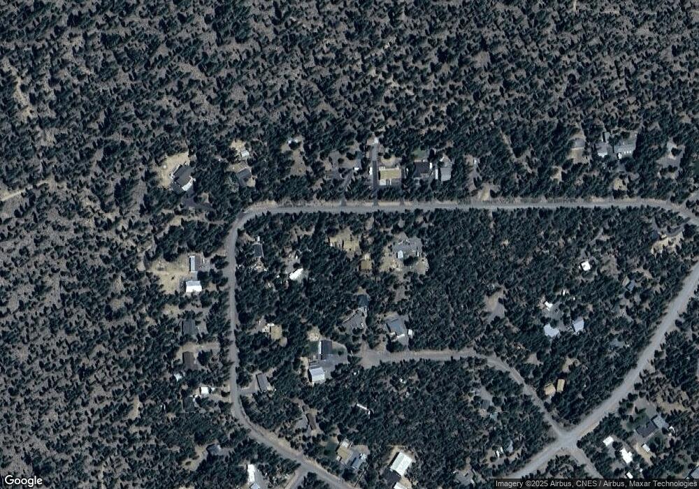
Map
Nearby Homes
- 52926 Shady Ln
- 52900 Sunrise Blvd
- 52880 Sunrise Blvd
- 15575 Pinedale Ct
- 52875 Rainbow Dr
- 15640 Sunrise Blvd
- 15675 NW Holiday Ct
- 15611 Deedon Rd
- 15660 Woodgreen Ct
- 52659 Rainbow Dr
- 15804 Sunrise Blvd
- 15600 Deedon Rd
- **NO SITUS Deedon Ln Unit 2110000003603
- 15789 Deedon Rd
- 15867 Bushberry Ct
- 15755 Ranch Place
- 15861 Old Mill Rd
- 15935 Woodchip Ln
- 15450 Pine Tree Dr
- 15475 Pinetree Dr
- 52934 Shady Ln
- 15466 Rainbow Ct
- 15474 Rainbow Ct
- 52949 Shady Ln
- 52941 Shady Ln
- 15462 Rainbow Ct
- 52920 Shady Ln
- 52953 Shady Ln
- 52937 Shady Ln
- 52914 Shady Ln
- 15465 Rainbow Ct
- 15506 Rainbow Ct
- 15477 Rainbow Ct
- 52933 Shady Ln
- 52935 Shady Ln
- 52923 Shady Ln
- 52908 Shady Ln
- 52917 Shady Ln
- 52961 Shady Ln
- 52902 Shady Ln