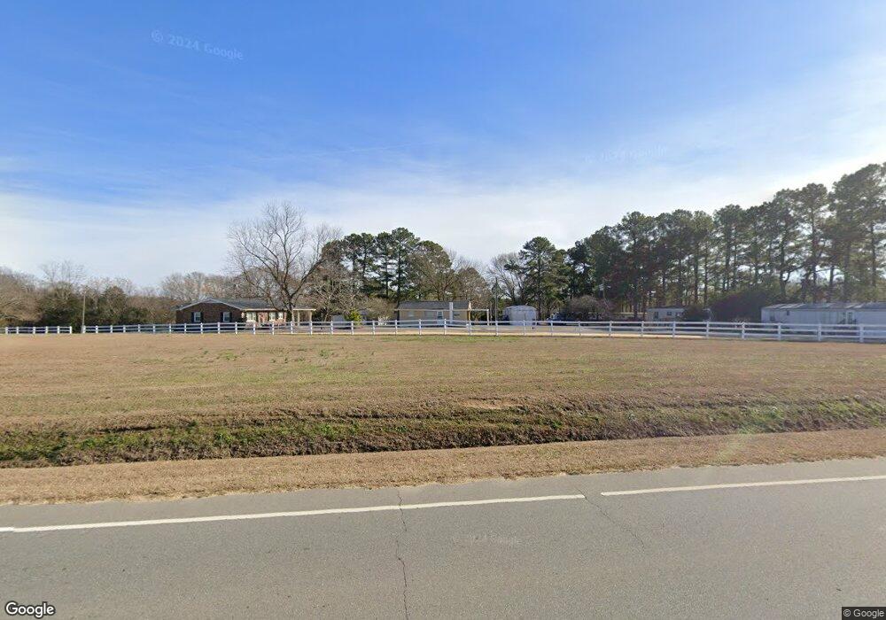
5296 Nc Highway 50 N Unit E Benson, NC 27504
Elevation NeighborhoodEstimated Value: $101,000 - $167,000
3
Beds
1
Bath
784
Sq Ft
$159/Sq Ft
Est. Value
About This Home
This home is located at 5296 Nc Highway 50 N Unit E, Benson, NC 27504 and is currently estimated at $124,534, approximately $158 per square foot. 5296 Nc Highway 50 N Unit E is a home located in Johnston County with nearby schools including Benson Elementary School, Benson Middle School, and South Johnston High School.
Ownership History
Date
Name
Owned For
Owner Type
Purchase Details
Closed on
Feb 24, 2022
Sold by
Tart Mhp Llc
Bought by
Barefoot Brendan Wayne
Current Estimated Value
Purchase Details
Closed on
Aug 10, 2021
Sold by
Allen John Carl and Allen John Carl
Bought by
Tart Mhp Llc
Home Financials for this Owner
Home Financials are based on the most recent Mortgage that was taken out on this home.
Original Mortgage
$40,000
Interest Rate
2.9%
Mortgage Type
Purchase Money Mortgage
Purchase Details
Closed on
Mar 8, 2016
Sold by
Allen John Carl
Bought by
Allen John Carl and Allen John Carl
Create a Home Valuation Report for This Property
The Home Valuation Report is an in-depth analysis detailing your home's value as well as a comparison with similar homes in the area
Home Values in the Area
Average Home Value in this Area
Purchase History
| Date | Buyer | Sale Price | Title Company |
|---|---|---|---|
| Barefoot Brendan Wayne | $108,000 | Adam Lane Gregory Pllc | |
| Tart Mhp Llc | $70,000 | None Available | |
| Allen John Carl | -- | None Available |
Source: Public Records
Mortgage History
| Date | Status | Borrower | Loan Amount |
|---|---|---|---|
| Previous Owner | Tart Mhp Llc | $40,000 |
Source: Public Records
Tax History
| Year | Tax Paid | Tax Assessment Tax Assessment Total Assessment is a certain percentage of the fair market value that is determined by local assessors to be the total taxable value of land and additions on the property. | Land | Improvement |
|---|---|---|---|---|
| 2025 | $429 | $67,620 | $30,630 | $36,990 |
| 2024 | $333 | $41,150 | $14,300 | $26,850 |
| 2023 | $325 | $41,150 | $14,300 | $26,850 |
| 2022 | $342 | $41,150 | $14,300 | $26,850 |
| 2021 | $330 | $39,760 | $12,910 | $26,850 |
| 2020 | $342 | $39,760 | $12,910 | $26,850 |
| 2019 | $342 | $39,760 | $12,910 | $26,850 |
| 2018 | $294 | $33,440 | $10,090 | $23,350 |
| 2017 | $294 | $33,440 | $10,090 | $23,350 |
| 2016 | $294 | $33,440 | $10,090 | $23,350 |
| 2015 | $294 | $33,440 | $10,090 | $23,350 |
| 2014 | $294 | $33,440 | $10,090 | $23,350 |
Source: Public Records
Map
Nearby Homes
- 69 White Azalea Way
- 69-81 White Azalea Way
- 236 White Azalea Way
- 236 White Azalea Way Unit 76
- 272 White Azalea Way Unit 75
- 272 White Azalea Way
- 294 White Azalea Way Unit 74
- 294 White Azalea Way
- 209 E American Marigold Dr Unit 44
- 209 E American Marigold Dr
- 251 White Azalea Way
- 291 White Azalea Way
- 311 White Azaela Way
- 311 White Azalea Way
- 337 White Azalea Way
- 291 White Azaela Way
- 140 E American Marigold Dr
- 6425 Elevation Rd
- 25 W American Marigold Dr
- 6441 Elevation Rd
- 5290 Nc Highway 50 N
- 5212 Nc 50 Hwy
- 5306 Nc Highway 50 N
- 34 White Azalea Way St Unit 36480613
- 34 White Azalea Way St Unit 36479802
- 5197 Nc Highway 50 N
- 69 White Azalea Way Homesite 81
- 33 White Azalea Way Homesite 80
- 100 White Azalea Way Unit 36490235
- 100 White Azalea Way Unit 36490017
- 100 White Azalea Way Unit 36467648
- 100 White Azalea Way Unit 36456309
- 100 White Azalea Way Unit 36499082
- 100 White Azalea Way Unit 36501614
- 5139 Nc Highway 50 N
- 5343 Nc Highway 50 N
- 6131 Elevation Rd
- 6045 Nc 50 Hwy
- 6069 Nc 50 Hwy
- 271 White Azalea Way Homesite 30
Your Personal Tour Guide
Ask me questions while you tour the home.