Estimated Value: $256,342 - $261,000
3
Beds
3
Baths
1,554
Sq Ft
$167/Sq Ft
Est. Value
About This Home
This home is located at 5297 Deer Trace Dr Unit 29, Kent, OH 44240 and is currently estimated at $259,336, approximately $166 per square foot. 5297 Deer Trace Dr Unit 29 is a home located in Portage County with nearby schools including Brimfield Elementary School, Field Middle School, and Field High School.
Ownership History
Date
Name
Owned For
Owner Type
Purchase Details
Closed on
Jan 12, 2005
Sold by
Alpine Design & Development Corp
Bought by
Stamm Karen S
Current Estimated Value
Home Financials for this Owner
Home Financials are based on the most recent Mortgage that was taken out on this home.
Original Mortgage
$112,000
Outstanding Balance
$55,170
Interest Rate
5.9%
Mortgage Type
Purchase Money Mortgage
Estimated Equity
$204,166
Create a Home Valuation Report for This Property
The Home Valuation Report is an in-depth analysis detailing your home's value as well as a comparison with similar homes in the area
Home Values in the Area
Average Home Value in this Area
Purchase History
| Date | Buyer | Sale Price | Title Company |
|---|---|---|---|
| Stamm Karen S | $156,300 | -- |
Source: Public Records
Mortgage History
| Date | Status | Borrower | Loan Amount |
|---|---|---|---|
| Open | Stamm Karen S | $112,000 |
Source: Public Records
Tax History
| Year | Tax Paid | Tax Assessment Tax Assessment Total Assessment is a certain percentage of the fair market value that is determined by local assessors to be the total taxable value of land and additions on the property. | Land | Improvement |
|---|---|---|---|---|
| 2025 | $3,960 | $81,830 | $7,000 | $74,830 |
| 2024 | $3,895 | $81,830 | $7,000 | $74,830 |
| 2023 | $3,421 | $57,720 | $6,300 | $51,420 |
| 2022 | $3,431 | $57,720 | $6,300 | $51,420 |
| 2021 | $3,343 | $57,720 | $6,300 | $51,420 |
| 2020 | $3,084 | $48,090 | $5,250 | $42,840 |
| 2019 | $3,044 | $48,090 | $5,250 | $42,840 |
| 2018 | $2,393 | $44,800 | $5,250 | $39,550 |
| 2017 | $2,393 | $44,800 | $5,250 | $39,550 |
| 2016 | $2,387 | $44,800 | $5,250 | $39,550 |
| 2015 | $2,309 | $44,800 | $5,250 | $39,550 |
| 2014 | $2,228 | $44,800 | $5,250 | $39,550 |
| 2013 | $2,176 | $44,800 | $5,250 | $39,550 |
Source: Public Records
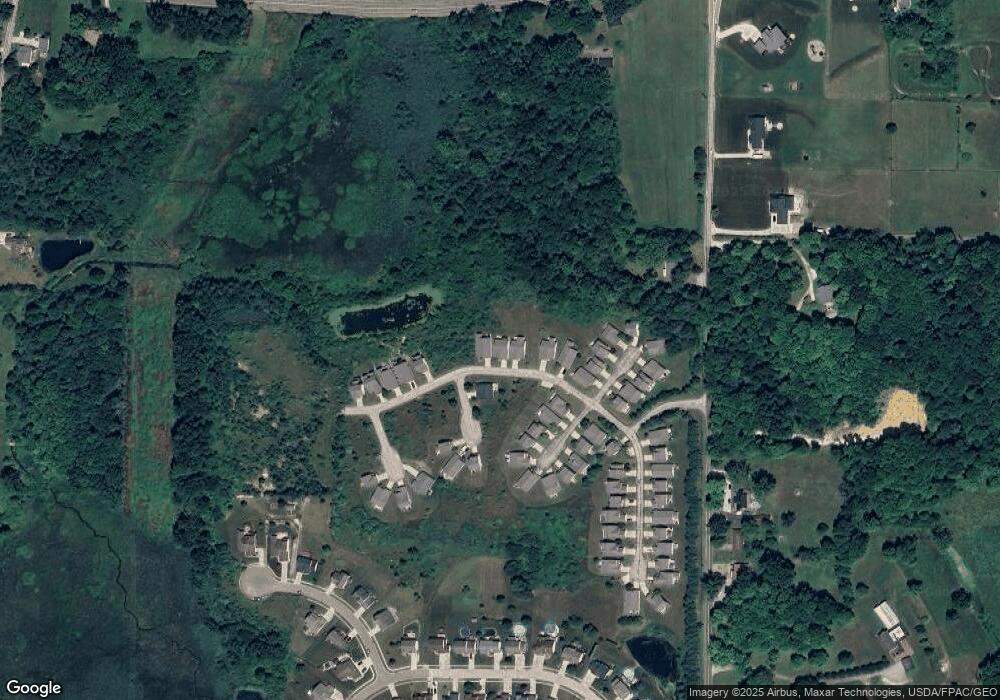
Map
Nearby Homes
- 5242 Glen Park Dr
- 5201 Cline Rd Unit A
- 5100 Misty Glen
- 1997 Sugar Maple Dr
- 2671 Wintergreen Ln
- 2092 Sugar Maple Dr
- 2326 Orchard Cir
- 2277 Orchard Cir
- 4700 Gooseberry Knoll
- 4620 Briar Hill Dr
- 2978 Sandy Lake Rd
- 1680 Countryview Dr
- 1676 Countryview Dr
- 5271 Aspen Meadow Dr
- 1426 Loop Rd Unit 1426
- 6181 Washington St
- 3120 Shearwater Cir
- 3169 Waxwing Cir
- 2135 Rankin Dr
- 3137 Shearwater Cir
- 5299 Deer Trace Dr
- 5295 Deer Trace Dr
- 5291 Deer Trace Dr Unit 24
- 5331 Fawn Cir
- 5329 Fawn Cir
- 5307 Deer Trace Dr Unit 45
- 5333 Fawn Cir Unit 22
- 5327 Fawn Cir Unit 19
- 5337 Treeview Cir Unit 10
- 5339 Treeview Cir Unit 9
- 5346 Forest Brook Cir Unit 38
- 5309 Deer Trace Dr
- 5349 Forest Brook Cir Unit 40
- 5341 Treeview Cir Unit 8
- 5325 Fawn Cir Unit 18
- 5311 Deer Trace Dr
- 5313 Deer Trace Dr Unit 48
- 5347 Forest Brook Cir Unit 39
- 5332 Fawn Cir Unit 13
- 5334 Fawn Cir Unit 12
Your Personal Tour Guide
Ask me questions while you tour the home.