53 Apache Trail Hartwell, GA 30643
Estimated Value: $470,469 - $603,000
3
Beds
2
Baths
1,568
Sq Ft
$346/Sq Ft
Est. Value
About This Home
This home is located at 53 Apache Trail, Hartwell, GA 30643 and is currently estimated at $543,117, approximately $346 per square foot. 53 Apache Trail is a home located in Hart County with nearby schools including Hart County High School.
Ownership History
Date
Name
Owned For
Owner Type
Purchase Details
Closed on
Mar 21, 2005
Sold by
Carter Thomas P
Bought by
Carter Thomas P and Carter Carolyn M
Current Estimated Value
Home Financials for this Owner
Home Financials are based on the most recent Mortgage that was taken out on this home.
Original Mortgage
$144,938
Interest Rate
5.57%
Mortgage Type
New Conventional
Purchase Details
Closed on
Apr 1, 1981
Purchase Details
Closed on
Oct 1, 1978
Create a Home Valuation Report for This Property
The Home Valuation Report is an in-depth analysis detailing your home's value as well as a comparison with similar homes in the area
Home Values in the Area
Average Home Value in this Area
Purchase History
| Date | Buyer | Sale Price | Title Company |
|---|---|---|---|
| Carter Thomas P | -- | -- | |
| Carter Thomas P | $160,000 | -- | |
| -- | $11,000 | -- | |
| -- | -- | -- |
Source: Public Records
Mortgage History
| Date | Status | Borrower | Loan Amount |
|---|---|---|---|
| Closed | Carter Thomas P | $144,938 |
Source: Public Records
Tax History
| Year | Tax Paid | Tax Assessment Tax Assessment Total Assessment is a certain percentage of the fair market value that is determined by local assessors to be the total taxable value of land and additions on the property. | Land | Improvement |
|---|---|---|---|---|
| 2025 | $2,283 | $165,636 | $80,000 | $85,636 |
| 2024 | $2,575 | $166,734 | $80,000 | $86,734 |
| 2023 | $2,586 | $155,280 | $80,000 | $75,280 |
| 2022 | $2,457 | $147,546 | $80,000 | $67,546 |
| 2021 | $1,998 | $107,733 | $46,000 | $61,733 |
| 2020 | $2,004 | $103,486 | $46,000 | $57,486 |
| 2019 | $1,951 | $99,806 | $44,800 | $55,006 |
| 2018 | $1,912 | $96,689 | $42,000 | $54,689 |
| 2017 | $1,894 | $95,276 | $42,000 | $53,276 |
| 2016 | $1,946 | $94,880 | $42,000 | $52,880 |
| 2015 | $1,849 | $94,963 | $43,200 | $51,763 |
| 2014 | $2,106 | $106,014 | $56,000 | $50,014 |
| 2013 | -- | $106,546 | $56,000 | $50,546 |
Source: Public Records
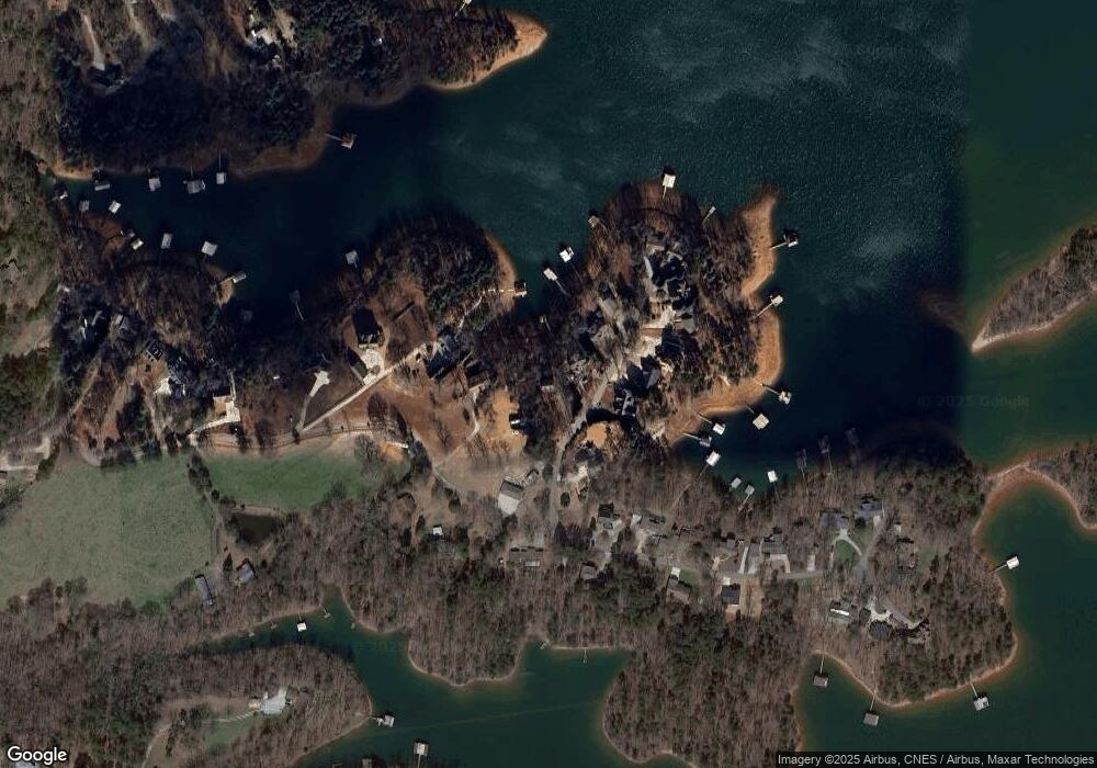
Map
Nearby Homes
- 67 Admiral Dr
- 133 Admiral Dr
- 0 Sidney Point Unit PHASE II
- LOT 17 Sidney Point
- 1047 Tranquility Ln
- 819 Tranquility Ln
- 142 C & C Cir
- 149 Foxtail Dr
- 590 Rainbow Dr
- 0 Bramblewood Dr Unit 20288802
- 0 Crawfords Ferry Point Unit 10663378
- LOT E Majestic Shores Dr
- 158 Creekwood Rd
- LOT 9 Majestic Shores Trail
- Lot 25 Majestic Shores Trail
- LOT 23 Majestic Shores Ln
- LOT 22 Majestic Shores Ln
- LOT 22 Majestic Shores Rd
- LOT 25 Majestic Shores Rd
- LOT 13 Majestic Shores Rd
- 387 Hidden Point Rd
- 389 Hidden Point Rd
- 105 Apache Trail
- 80 Apache Trail
- 30 Apache Trail
- 100 Apache Trail
- 71 Apache Trail
- 115 Apache Trail
- 450 Hidden Point Rd
- 307 Hidden Point Rd
- 118 Apache Trail
- 145 Apache Trail
- 503 Hidden Point Rd
- 124 Apache Trail
- 140 Apache Trail
- 160 Apache Trail
- 303 Hidden Point Rd
- 162 Apache Trail
- 515 Hidden Point Rd
- 398 Hidden Point Rd
Your Personal Tour Guide
Ask me questions while you tour the home.