53 Atlantic Ave Gloucester, MA 01930
West Gloucester NeighborhoodEstimated Value: $1,164,000 - $1,621,000
2
Beds
2
Baths
1,061
Sq Ft
$1,296/Sq Ft
Est. Value
About This Home
This home is located at 53 Atlantic Ave, Gloucester, MA 01930 and is currently estimated at $1,375,368, approximately $1,296 per square foot. 53 Atlantic Ave is a home located in Essex County with nearby schools including West Parish, Ralph B O'maley Middle School, and Gloucester High School.
Ownership History
Date
Name
Owned For
Owner Type
Purchase Details
Closed on
Jul 11, 2016
Sold by
Bayle Shirley
Bought by
Bayle Elisabeth A
Current Estimated Value
Purchase Details
Closed on
Jun 6, 2011
Sold by
Bayle Shirley
Bought by
Bayle Elisabeth A
Purchase Details
Closed on
Feb 1, 1961
Bought by
Bayle Elisabeth A
Create a Home Valuation Report for This Property
The Home Valuation Report is an in-depth analysis detailing your home's value as well as a comparison with similar homes in the area
Home Values in the Area
Average Home Value in this Area
Purchase History
| Date | Buyer | Sale Price | Title Company |
|---|---|---|---|
| Bayle Elisabeth A | -- | -- | |
| Bayle Elisabeth A | -- | -- | |
| Bayle Elisabeth A | -- | -- |
Source: Public Records
Mortgage History
| Date | Status | Borrower | Loan Amount |
|---|---|---|---|
| Previous Owner | Bayle Elisabeth A | $425,000 |
Source: Public Records
Tax History
| Year | Tax Paid | Tax Assessment Tax Assessment Total Assessment is a certain percentage of the fair market value that is determined by local assessors to be the total taxable value of land and additions on the property. | Land | Improvement |
|---|---|---|---|---|
| 2025 | $10,777 | $1,108,700 | $865,200 | $243,500 |
| 2024 | $10,346 | $1,063,300 | $823,600 | $239,700 |
| 2023 | $9,835 | $928,700 | $703,200 | $225,500 |
| 2022 | $9,409 | $802,100 | $611,500 | $190,600 |
| 2021 | $8,371 | $672,900 | $488,000 | $184,900 |
| 2020 | $8,049 | $652,800 | $488,000 | $164,800 |
| 2019 | $7,847 | $618,400 | $465,300 | $153,100 |
| 2018 | $7,711 | $596,400 | $453,900 | $142,500 |
| 2017 | $7,497 | $568,400 | $432,200 | $136,200 |
| 2016 | $7,295 | $536,000 | $413,400 | $122,600 |
| 2015 | $7,138 | $522,900 | $404,000 | $118,900 |
Source: Public Records
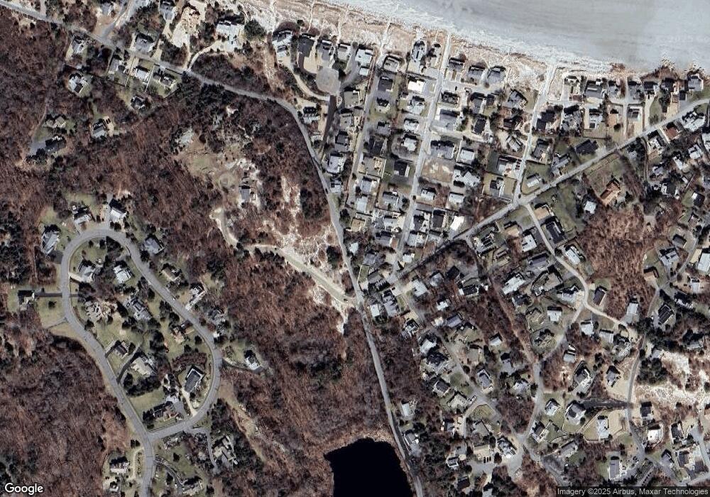
Map
Nearby Homes
- 226 Atlantic St
- 178 Atlantic St
- 167 Atlantic St
- 2 Breezy Point Rd
- 672 Washington St
- 13 Honeysuckle Rd
- 3 Deacon Farm Ln
- 31 Echo Ave
- 7 Colburn St
- 7 Leaman Dr
- 5 Samoset Rd Unit B
- 1030 Washington St
- 13 Mystic Ave
- 43 High St Unit B
- 8 Mystic Ave
- 368 Essex Ave
- 6 Monroe Ct
- 145 Essex Ave Unit 402
- 24 Cobblestone Ln Unit 603
- 5 Lepage Ln
- 4 Sleepy Hollow Rd
- 3 Bayle Ln
- 6 Sleepy Hollow Rd
- 2 Bungalow Rd
- 2 Bungalow Rd Unit Winter
- 8 Sleepy Hollow Rd
- 5 Bayle Ln
- 1 Sleepy Hollow Rd
- 1 Bungalow Rd
- 10 Sleepy Hollow Rd
- 1 Sandy Way
- 5 Sleepy Hollow Rd
- 1 Skipper Way
- 7 Bayle Ln
- 2 Skipper Way
- 7 Sleepy Hollow Rd
- 6 Bungalow Rd
- 7 Bungalow Rd
- 3 Sandy Way
- 9 Sleepy Hollow Rd
Your Personal Tour Guide
Ask me questions while you tour the home.