53 Balsam Way Barrington, NH 03825
Estimated Value: $370,000 - $624,000
2
Beds
2
Baths
1,235
Sq Ft
$421/Sq Ft
Est. Value
About This Home
This home is located at 53 Balsam Way, Barrington, NH 03825 and is currently estimated at $520,316, approximately $421 per square foot. 53 Balsam Way is a home with nearby schools including Barrington Elementary School and Barrington Middle School.
Ownership History
Date
Name
Owned For
Owner Type
Purchase Details
Closed on
Jul 3, 2020
Sold by
Stlaurent Stacia and Stlaurent Brian
Bought by
Stlaurent Stacie
Current Estimated Value
Home Financials for this Owner
Home Financials are based on the most recent Mortgage that was taken out on this home.
Original Mortgage
$200,000
Outstanding Balance
$138,219
Interest Rate
3.1%
Mortgage Type
New Conventional
Estimated Equity
$382,097
Create a Home Valuation Report for This Property
The Home Valuation Report is an in-depth analysis detailing your home's value as well as a comparison with similar homes in the area
Home Values in the Area
Average Home Value in this Area
Purchase History
| Date | Buyer | Sale Price | Title Company |
|---|---|---|---|
| Stlaurent Stacie | -- | None Available |
Source: Public Records
Mortgage History
| Date | Status | Borrower | Loan Amount |
|---|---|---|---|
| Open | Stlaurent Stacie | $200,000 |
Source: Public Records
Tax History Compared to Growth
Tax History
| Year | Tax Paid | Tax Assessment Tax Assessment Total Assessment is a certain percentage of the fair market value that is determined by local assessors to be the total taxable value of land and additions on the property. | Land | Improvement |
|---|---|---|---|---|
| 2024 | $10,313 | $586,300 | $359,200 | $227,100 |
| 2023 | $9,785 | $586,300 | $359,200 | $227,100 |
| 2022 | $8,498 | $428,100 | $252,100 | $176,000 |
| 2021 | $8,348 | $428,100 | $252,100 | $176,000 |
| 2020 | $7,653 | $336,100 | $188,900 | $147,200 |
| 2019 | $7,554 | $333,200 | $188,900 | $144,300 |
| 2018 | $7,689 | $310,300 | $188,900 | $121,400 |
| 2017 | $7,472 | $310,300 | $188,900 | $121,400 |
| 2016 | $7,781 | $298,800 | $188,900 | $109,900 |
| 2015 | $7,536 | $298,800 | $188,900 | $109,900 |
| 2014 | $6,959 | $289,600 | $188,900 | $100,700 |
| 2013 | $7,304 | $325,200 | $228,900 | $96,300 |
Source: Public Records
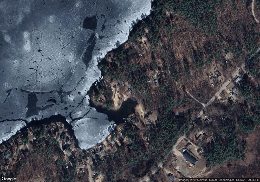
Map
Nearby Homes
- 207-002 Washington St
- 400 Scruton Pond Rd
- 8 Juniper Ln
- 0 Long Shores Dr Unit 5057687
- 68 Berry River Rd
- 243 Second Crown Point Rd
- 10 Blue Hills Dr
- 81 Hansonville Rd
- 82 Hansonville Rd
- 345 Dry Hill Rd
- 40 Dry Hill Rd Unit Lot 0250/0006/0000
- 47 Brewster Rd
- 80 Castle Rock Rd
- 27 Castle Rock Rd
- 948 Strafford Rd
- 80 Trinity Cir Unit B
- 419 Ledgeview Dr
- 14 About Nothing Ln
- 9 Ledgeview Dr
- 0 Sloper Rd Unit 6