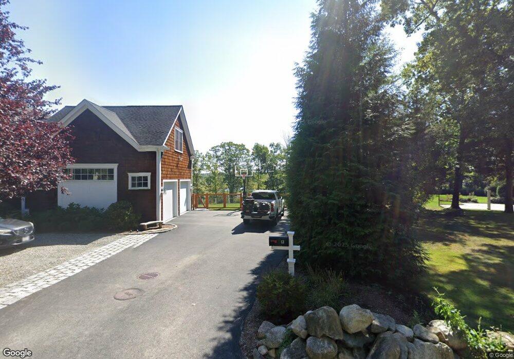
53 Border St Scituate, MA 02066
Estimated Value: $2,510,000 - $2,537,000
4
Beds
3
Baths
2,700
Sq Ft
$933/Sq Ft
Est. Value
About This Home
This home is located at 53 Border St, Scituate, MA 02066 and is currently estimated at $2,519,670, approximately $933 per square foot. 53 Border St is a home located in Plymouth County with nearby schools including Hatherly Elementary School, Lester J. Gates Middle School, and Scituate High School.
Ownership History
Date
Name
Owned For
Owner Type
Purchase Details
Closed on
Nov 13, 2025
Sold by
Odonoghue Jr John W Est and Odonoghue
Bought by
Condon William and Chase Caroline
Current Estimated Value
Home Financials for this Owner
Home Financials are based on the most recent Mortgage that was taken out on this home.
Original Mortgage
$2,500,000
Outstanding Balance
$2,500,000
Interest Rate
6.34%
Mortgage Type
Purchase Money Mortgage
Estimated Equity
$19,670
Purchase Details
Closed on
Oct 8, 2024
Sold by
I Nostri Famiglia Llc
Bought by
Odonoghue John W
Purchase Details
Closed on
May 11, 2022
Sold by
Diamond Development Rt and Bjorkland
Bought by
I Nostri Famiglia Llc
Purchase Details
Closed on
Aug 5, 2021
Sold by
Bonomi Michelle G
Bought by
Diamond Development Rt and Bjorklund
Create a Home Valuation Report for This Property
The Home Valuation Report is an in-depth analysis detailing your home's value as well as a comparison with similar homes in the area
Home Values in the Area
Average Home Value in this Area
Purchase History
| Date | Buyer | Sale Price | Title Company |
|---|---|---|---|
| Condon William | $2,500,000 | -- | |
| Odonoghue John W | -- | None Available | |
| Odonoghue John W | -- | None Available | |
| I Nostri Famiglia Llc | $749,900 | None Available | |
| Diamond Development Rt | $450,000 | None Available |
Source: Public Records
Mortgage History
| Date | Status | Borrower | Loan Amount |
|---|---|---|---|
| Open | Condon William | $2,500,000 |
Source: Public Records
Tax History
| Year | Tax Paid | Tax Assessment Tax Assessment Total Assessment is a certain percentage of the fair market value that is determined by local assessors to be the total taxable value of land and additions on the property. | Land | Improvement |
|---|---|---|---|---|
| 2025 | $22,009 | $2,203,100 | $670,400 | $1,532,700 |
| 2024 | $14,378 | $1,387,800 | $609,500 | $778,300 |
| 2023 | $7,930 | $723,700 | $554,200 | $169,500 |
| 2022 | $7,930 | $628,400 | $486,200 | $142,200 |
| 2021 | $7,925 | $594,500 | $463,000 | $131,500 |
| 2020 | $7,795 | $577,400 | $445,100 | $132,300 |
| 2019 | $7,802 | $567,800 | $436,400 | $131,400 |
| 2018 | $7,982 | $572,200 | $432,300 | $139,900 |
| 2017 | $8,260 | $586,200 | $432,300 | $153,900 |
| 2016 | $8,203 | $580,100 | $432,300 | $147,800 |
| 2015 | $7,422 | $566,600 | $420,300 | $146,300 |
Source: Public Records
Map
Nearby Homes
- 26 Mordecai Lincoln Rd
- 7 3 Ring Rd
- 817 Country Way
- 96 Black Horse Ln
- 70 Black Horse Ln
- 701 Country Way
- 68 Black Horse Ln
- 629 Country Way
- 212 S Main St
- 98 Black Horse Ln
- 71 Ledgewood Dr
- 18A Mitchell Ave
- 171 S Main St
- 430 Hatherly Rd
- 430 Hatherly Rd Unit Exhibit “A”
- 430 Hatherly Rd Unit Exhibit “B”
- 11 Forest Ln
- 9 Forest Ln Unit 9
- 66 Summer St
- 124 Elm St Unit 308
Your Personal Tour Guide
Ask me questions while you tour the home.