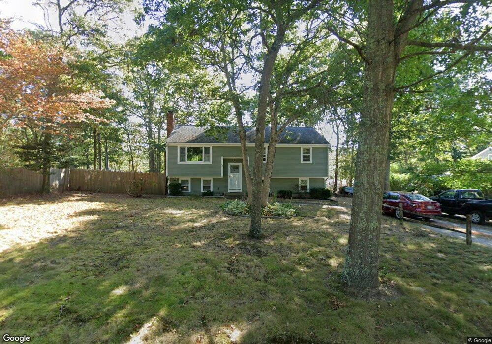
53 Cambridge Dr Mashpee, MA 02649
Estimated Value: $493,000 - $556,000
3
Beds
1
Bath
1,201
Sq Ft
$427/Sq Ft
Est. Value
About This Home
This home is located at 53 Cambridge Dr, Mashpee, MA 02649 and is currently estimated at $512,826, approximately $426 per square foot. 53 Cambridge Dr is a home located in Barnstable County with nearby schools including Kenneth C. Coombs School, Quashnet School, and Mashpee Middle School.
Ownership History
Date
Name
Owned For
Owner Type
Purchase Details
Closed on
Mar 28, 1997
Sold by
Pleasant Rt and Elman David
Bought by
Keenan Michael J and Keenan Judith M
Current Estimated Value
Home Financials for this Owner
Home Financials are based on the most recent Mortgage that was taken out on this home.
Original Mortgage
$94,000
Interest Rate
7.59%
Mortgage Type
Purchase Money Mortgage
Create a Home Valuation Report for This Property
The Home Valuation Report is an in-depth analysis detailing your home's value as well as a comparison with similar homes in the area
Home Values in the Area
Average Home Value in this Area
Purchase History
| Date | Buyer | Sale Price | Title Company |
|---|---|---|---|
| Keenan Michael J | $94,500 | -- |
Source: Public Records
Mortgage History
| Date | Status | Borrower | Loan Amount |
|---|---|---|---|
| Open | Keenan Michael J | $125,000 | |
| Closed | Keenan Michael J | $94,000 |
Source: Public Records
Tax History Compared to Growth
Tax History
| Year | Tax Paid | Tax Assessment Tax Assessment Total Assessment is a certain percentage of the fair market value that is determined by local assessors to be the total taxable value of land and additions on the property. | Land | Improvement |
|---|---|---|---|---|
| 2025 | $2,840 | $429,000 | $185,500 | $243,500 |
| 2024 | $2,577 | $400,700 | $168,700 | $232,000 |
| 2023 | $2,460 | $350,900 | $160,600 | $190,300 |
| 2022 | $2,277 | $278,700 | $130,600 | $148,100 |
| 2021 | $2,226 | $245,400 | $117,600 | $127,800 |
| 2020 | $5,518 | $236,000 | $113,100 | $122,900 |
| 2019 | $2,068 | $228,500 | $113,100 | $115,400 |
| 2018 | $4,851 | $212,000 | $113,100 | $98,900 |
| 2017 | $4,597 | $201,500 | $113,100 | $88,400 |
| 2016 | $1,813 | $196,200 | $113,100 | $83,100 |
| 2015 | $1,746 | $191,700 | $113,100 | $78,600 |
| 2014 | $1,776 | $189,100 | $111,700 | $77,400 |
Source: Public Records
Map
Nearby Homes
- 11 Warwick Way
- 68 Fox Hill Rd
- 22 Candlewood Ln
- 7 Widow Coombs Walk
- 45 Fox Hill Rd
- 16 Balfour Ln
- 131 Timberlane Dr
- 6 Santuit Pond Rd
- 29 Melissa Ave
- 10 Briar Patch Ln
- 12 Sheffield Place
- 42 Beechwood Dr
- 20 Windsor Way
- 84 Harlow Rd
- 90 Lakewood Dr
- 35 Santuit Ln
- 46 Holly Ridge Dr
- 10 Ryder Cir
- 111 Reflection Dr
- 47 Cambridge Dr
- 562 Cotuit Rd
- 60 Cambridge Dr
- 23 Somerset Rd
- 556 Cotuit Rd
- 43 Cambridge Dr
- 15 Somerset Rd
- 48 Cambridge Dr
- 552 Cotuit Rd
- 14 Grenadier Ln
- 14 Grenadier Ln
- 22 Somerset Rd
- 26 Somerset Rd
- 16 Somerset Rd
- 37 Somerset Rd
- 11 Grenadier Ln
- 37 Cambridge Dr
- 44 Cambridge Dr
- 548 Cotuit Rd
- 8 Grenadier Ln