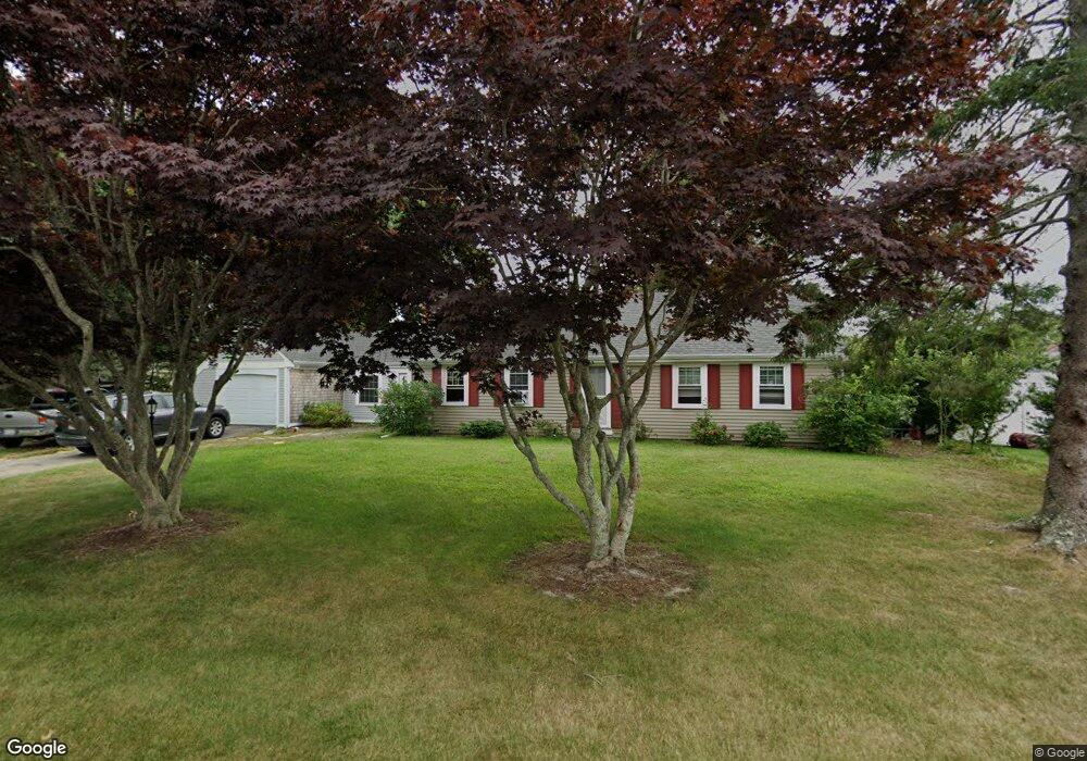
53 Captain Lothrop Rd South Yarmouth, MA 02664
Estimated Value: $501,000 - $583,915
2
Beds
2
Baths
1,080
Sq Ft
$500/Sq Ft
Est. Value
About This Home
This home is located at 53 Captain Lothrop Rd, South Yarmouth, MA 02664 and is currently estimated at $540,229, approximately $500 per square foot. 53 Captain Lothrop Rd is a home located in Barnstable County with nearby schools including Dennis-Yarmouth Regional High School.
Ownership History
Date
Name
Owned For
Owner Type
Purchase Details
Closed on
Feb 19, 2016
Sold by
Hawley Susan A
Bought by
Taylor Daniel and Giguere Therese
Current Estimated Value
Home Financials for this Owner
Home Financials are based on the most recent Mortgage that was taken out on this home.
Original Mortgage
$244,956
Outstanding Balance
$193,156
Interest Rate
3.62%
Mortgage Type
FHA
Estimated Equity
$347,073
Purchase Details
Closed on
Mar 1, 2004
Sold by
Thompson Frederick A
Bought by
Hawley Susan A
Home Financials for this Owner
Home Financials are based on the most recent Mortgage that was taken out on this home.
Original Mortgage
$244,000
Interest Rate
5.65%
Mortgage Type
Purchase Money Mortgage
Create a Home Valuation Report for This Property
The Home Valuation Report is an in-depth analysis detailing your home's value as well as a comparison with similar homes in the area
Home Values in the Area
Average Home Value in this Area
Purchase History
| Date | Buyer | Sale Price | Title Company |
|---|---|---|---|
| Taylor Daniel | $249,475 | -- | |
| Hawley Susan A | $305,000 | -- |
Source: Public Records
Mortgage History
| Date | Status | Borrower | Loan Amount |
|---|---|---|---|
| Open | Taylor Daniel | $244,956 | |
| Previous Owner | Hawley Susan A | $244,000 |
Source: Public Records
Tax History Compared to Growth
Tax History
| Year | Tax Paid | Tax Assessment Tax Assessment Total Assessment is a certain percentage of the fair market value that is determined by local assessors to be the total taxable value of land and additions on the property. | Land | Improvement |
|---|---|---|---|---|
| 2025 | $3,746 | $529,100 | $181,100 | $348,000 |
| 2024 | $3,432 | $465,100 | $153,100 | $312,000 |
| 2023 | $3,375 | $416,200 | $132,500 | $283,700 |
| 2022 | $3,066 | $334,000 | $120,400 | $213,600 |
| 2021 | $3,019 | $315,800 | $120,400 | $195,400 |
| 2020 | $2,920 | $292,000 | $120,400 | $171,600 |
| 2019 | $2,737 | $271,000 | $120,400 | $150,600 |
| 2018 | $2,604 | $253,100 | $102,500 | $150,600 |
| 2017 | $2,492 | $248,700 | $98,100 | $150,600 |
| 2016 | $2,393 | $239,800 | $89,200 | $150,600 |
| 2015 | $2,509 | $249,900 | $89,200 | $160,700 |
Source: Public Records
Map
Nearby Homes
- 75 Captain York Rd
- 76 Captain Chase Rd
- 147 Captain Bacon Rd
- 338 Forest Rd
- 72 Quartermaster Row
- 255 Long Pond Dr
- 38 Autumn Dr
- 33 Sparrow Way
- 55 Lower Brook Rd
- 30 Quartermaster Row
- 0 Forsyth Ave
- 24 Fast Brook Rd
- 9 Victory Ln
- 105 Webbers Path
- 3 Saturn Ln
- 17 Merganser Ln
- 4 Raymond Ave
- 22 Powhatan Rd
- 7 Sunset Pines Rd
- 9 Capt Crocker
- 53 Capt Lothrop Rd
- 9 Captain Crocker Rd
- 50 Capt Lothrop Rd
- 2 Captain Daniel Rd
- 56 Capt Lothrop Rd
- 45 Captain Lothrop Rd
- 8 Captain Daniel Rd
- 50 Captain Lothrop Rd
- 8 Captain Crocker Rd
- 60 Capt Lothrop Rd
- 60 Captain Lothrop Rd
- 15 Captain Crocker Rd
- 172 Captain Nickerson Rd
- 14 Capt Daniel Rd
- 14 Captain Daniel Rd
- 14 Captain Crocker Rd
- 14 Capt Crocker Rd
- 15 Captain Besse Rd
- 41 Captain Lothrop Rd