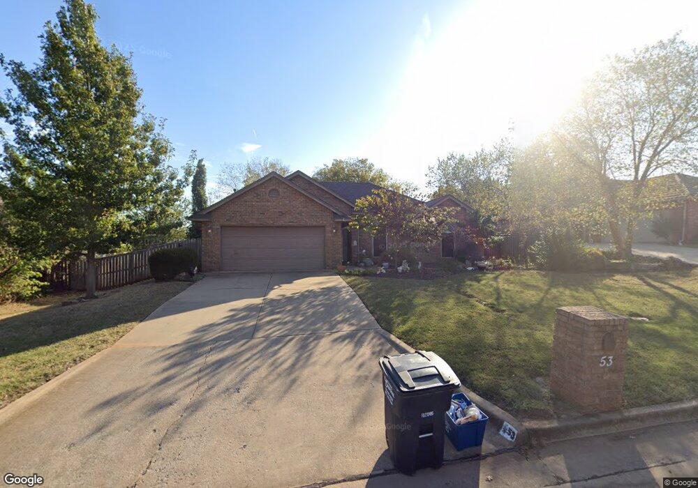
53 Crown Point Shawnee, OK 74804
Estimated Value: $210,138 - $279,000
3
Beds
2
Baths
1,532
Sq Ft
$149/Sq Ft
Est. Value
About This Home
This home is located at 53 Crown Point, Shawnee, OK 74804 and is currently estimated at $228,785, approximately $149 per square foot. 53 Crown Point is a home located in Pottawatomie County.
Ownership History
Date
Name
Owned For
Owner Type
Purchase Details
Closed on
Dec 16, 2015
Sold by
Cash Robert Dean and Marker Cash Chele D
Bought by
Rennie Rowan C
Current Estimated Value
Purchase Details
Closed on
Jan 16, 2013
Sold by
Cash Robert Dean and Marker Cash Chele D
Bought by
Cash Robert Dean and Marker Cash Chele D
Purchase Details
Closed on
May 19, 2008
Sold by
Carr Gary William and Carr Gary W
Bought by
Marker Chele Denise and Carr Chele Denise
Purchase Details
Closed on
Jun 28, 2001
Sold by
Eshleman Joe and Eshleman Giala
Bought by
Carr Gary and Carr Chele D
Purchase Details
Closed on
May 17, 1999
Sold by
Kieffer Paul
Bought by
Eshleman Joe and Eshleman Giala
Purchase Details
Closed on
Oct 7, 1993
Sold by
Greg Brown and Greg Christine
Bought by
Kieffer Paul and Kieffer Elaine
Purchase Details
Closed on
Jun 9, 1993
Sold by
Greg Brown
Bought by
Greg Brown Homes
Create a Home Valuation Report for This Property
The Home Valuation Report is an in-depth analysis detailing your home's value as well as a comparison with similar homes in the area
Purchase History
| Date | Buyer | Sale Price | Title Company |
|---|---|---|---|
| Rennie Rowan C | $160,000 | First American Title | |
| Cash Robert Dean | -- | None Available | |
| Marker Chele Denise | -- | None Available | |
| Carr Gary | $122,500 | -- | |
| Eshleman Joe | $106,000 | -- | |
| Kieffer Paul | $85,900 | -- | |
| Greg Brown Homes | $8,000 | -- |
Source: Public Records
Tax History
| Year | Tax Paid | Tax Assessment Tax Assessment Total Assessment is a certain percentage of the fair market value that is determined by local assessors to be the total taxable value of land and additions on the property. | Land | Improvement |
|---|---|---|---|---|
| 2025 | $1,435 | $16,296 | $910 | $15,386 |
| 2024 | $1,454 | $16,296 | $878 | $15,418 |
| 2023 | $1,454 | $16,296 | $1,200 | $15,096 |
| 2022 | $1,426 | $16,296 | $1,200 | $15,096 |
| 2021 | $1,439 | $16,296 | $1,200 | $15,096 |
| 2020 | $1,456 | $16,501 | $1,200 | $15,301 |
| 2019 | $1,510 | $16,900 | $1,200 | $15,700 |
| 2018 | $1,523 | $16,942 | $1,200 | $15,742 |
| 2017 | $1,530 | $17,145 | $1,200 | $15,945 |
| 2016 | $1,605 | $17,760 | $1,200 | $16,560 |
| 2015 | $1,201 | $15,203 | $1,200 | $14,003 |
| 2014 | $1,209 | $15,299 | $1,200 | $14,099 |
Source: Public Records
Map
Nearby Homes
- 2 Lancet Cir
- 14 Janeway Place
- 5 Norwich Ct
- 23 Crown Point
- 3 Norwich Ct
- 2024 Lantana Cir
- 40 Northridge Rd
- 2678 Legacy Place
- 1305 Castle Creek St
- 17 Beckley St
- 2704 Woodlawn Ct
- 2 Turkey Knob St
- 31 E Oak Hill
- 1406 E Bradley St
- 1301 Manchester
- 5005 Chauncey Ln
- 2205 Copper Creek Ln
- 1204 Cambridge Dr
- 1104 Adeline
- 1119 Quail Hollow Rd
Your Personal Tour Guide
Ask me questions while you tour the home.