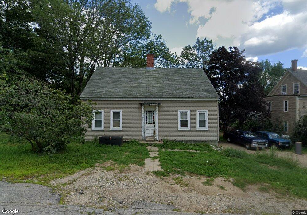
53 Dawson St Milton, NH 03851
Estimated Value: $326,425 - $382,000
4
Beds
1
Bath
1,543
Sq Ft
$230/Sq Ft
Est. Value
About This Home
This home is located at 53 Dawson St, Milton, NH 03851 and is currently estimated at $355,606, approximately $230 per square foot. 53 Dawson St is a home with nearby schools including Milton Elementary School, Nute Junior High School, and Nute High School.
Ownership History
Date
Name
Owned For
Owner Type
Purchase Details
Closed on
Sep 13, 2012
Sold by
Viel Donald M
Bought by
Viel Donald M and Viel Melissa A
Current Estimated Value
Home Financials for this Owner
Home Financials are based on the most recent Mortgage that was taken out on this home.
Original Mortgage
$106,000
Outstanding Balance
$72,295
Interest Rate
3.57%
Mortgage Type
Purchase Money Mortgage
Estimated Equity
$283,311
Purchase Details
Closed on
Jun 27, 2002
Sold by
Davis Thomas N
Bought by
Viel Donald M and Viel Melissa A
Home Financials for this Owner
Home Financials are based on the most recent Mortgage that was taken out on this home.
Original Mortgage
$101,850
Interest Rate
6.92%
Create a Home Valuation Report for This Property
The Home Valuation Report is an in-depth analysis detailing your home's value as well as a comparison with similar homes in the area
Home Values in the Area
Average Home Value in this Area
Purchase History
| Date | Buyer | Sale Price | Title Company |
|---|---|---|---|
| Viel Donald M | -- | -- | |
| Viel Donald M | $105,000 | -- |
Source: Public Records
Mortgage History
| Date | Status | Borrower | Loan Amount |
|---|---|---|---|
| Open | Viel Donald M | $106,000 | |
| Previous Owner | Viel Donald M | $101,850 |
Source: Public Records
Tax History
| Year | Tax Paid | Tax Assessment Tax Assessment Total Assessment is a certain percentage of the fair market value that is determined by local assessors to be the total taxable value of land and additions on the property. | Land | Improvement |
|---|---|---|---|---|
| 2024 | $3,727 | $267,200 | $86,800 | $180,400 |
| 2023 | $3,652 | $148,800 | $38,500 | $110,300 |
| 2022 | $3,643 | $148,800 | $38,500 | $110,300 |
| 2021 | $3,402 | $148,800 | $38,500 | $110,300 |
| 2020 | $3,295 | $148,700 | $38,500 | $110,200 |
| 2019 | $3,503 | $148,700 | $38,500 | $110,200 |
| 2018 | $3,720 | $146,000 | $34,100 | $111,900 |
| 2017 | $3,555 | $137,300 | $34,100 | $103,200 |
| 2016 | $3,201 | $112,700 | $30,700 | $82,000 |
| 2015 | $3,223 | $112,700 | $30,700 | $82,000 |
| 2014 | $3,010 | $112,700 | $30,700 | $82,000 |
| 2013 | $3,245 | $125,400 | $34,100 | $91,300 |
Source: Public Records
Map
Nearby Homes
- 6 Dawson St
- 00 Bourdeau Rd Unit 74
- 27 Evergreen Valley Rd
- 200 Farmington Rd
- 24 Porter Rd
- 15 Pineland Park Rd
- 6 Rocky Cove Rd
- R12-65 Orrills Hill Rd
- 1 Backjaw Rd
- 193 New Bridge Rd
- 67 Dolby Rd
- 136 Hare Rd
- 117 Gile Way
- 0 Tall Pine Rd Unit 5074959
- 114b Betts Rd
- 126 Governors Rd
- 164 Mason Rd
- 314 Sewell Shores Rd
- 318 Sewell Shores Rd
- 384 Cross Rd
Your Personal Tour Guide
Ask me questions while you tour the home.