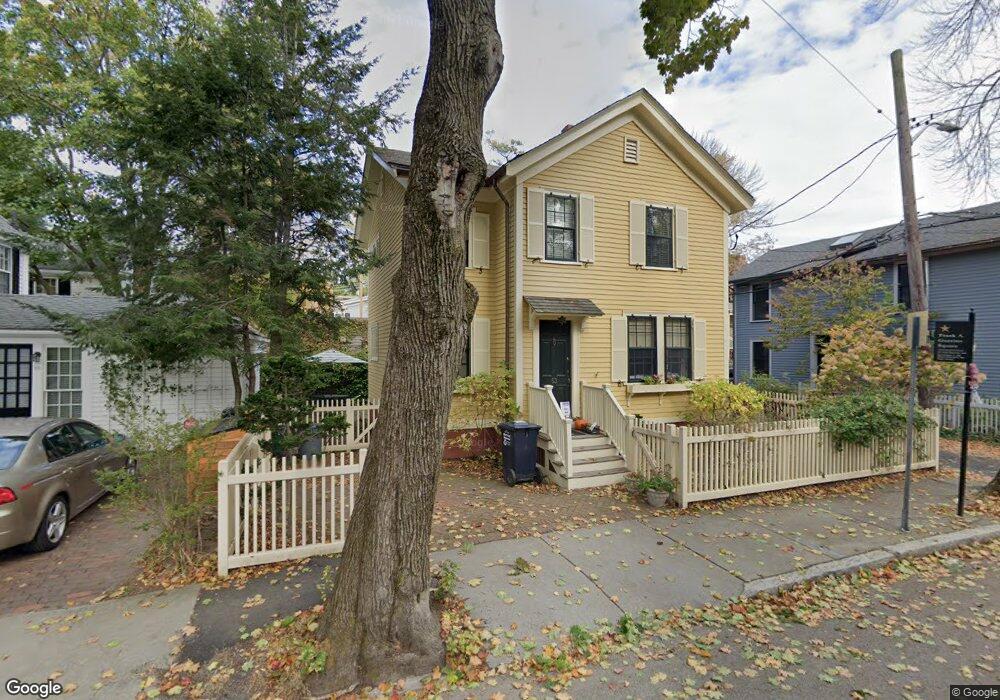
53 Foster St Cambridge, MA 02138
West Cambridge NeighborhoodEstimated Value: $1,711,000 - $1,830,000
3
Beds
1
Bath
1,108
Sq Ft
$1,582/Sq Ft
Est. Value
About This Home
This home is located at 53 Foster St, Cambridge, MA 02138 and is currently estimated at $1,752,859, approximately $1,582 per square foot. 53 Foster St is a home located in Middlesex County with nearby schools including St Peter School, Buckingham Browne & Nichols School, and Shady Hill School.
Ownership History
Date
Name
Owned For
Owner Type
Purchase Details
Closed on
Jul 11, 2003
Sold by
Madeline K Gardiner T
Bought by
Masterson Deborah C
Current Estimated Value
Home Financials for this Owner
Home Financials are based on the most recent Mortgage that was taken out on this home.
Original Mortgage
$375,000
Outstanding Balance
$161,712
Interest Rate
5.45%
Mortgage Type
Purchase Money Mortgage
Estimated Equity
$1,591,147
Create a Home Valuation Report for This Property
The Home Valuation Report is an in-depth analysis detailing your home's value as well as a comparison with similar homes in the area
Home Values in the Area
Average Home Value in this Area
Purchase History
| Date | Buyer | Sale Price | Title Company |
|---|---|---|---|
| Masterson Deborah C | $655,500 | -- |
Source: Public Records
Mortgage History
| Date | Status | Borrower | Loan Amount |
|---|---|---|---|
| Open | Masterson Deborah C | $375,000 |
Source: Public Records
Tax History Compared to Growth
Tax History
| Year | Tax Paid | Tax Assessment Tax Assessment Total Assessment is a certain percentage of the fair market value that is determined by local assessors to be the total taxable value of land and additions on the property. | Land | Improvement |
|---|---|---|---|---|
| 2025 | $9,331 | $1,469,400 | $890,300 | $579,100 |
| 2024 | $8,623 | $1,456,600 | $902,300 | $554,300 |
| 2023 | $7,911 | $1,350,000 | $870,600 | $479,400 |
| 2022 | $7,641 | $1,290,700 | $871,200 | $419,500 |
| 2021 | $7,222 | $1,234,500 | $857,900 | $376,600 |
| 2020 | $6,861 | $1,193,300 | $836,500 | $356,800 |
| 2019 | $6,290 | $1,059,000 | $733,500 | $325,500 |
| 2018 | $6,540 | $1,039,700 | $729,200 | $310,500 |
| 2017 | $6,618 | $1,019,700 | $729,200 | $290,500 |
| 2016 | $6,336 | $906,400 | $641,300 | $265,100 |
| 2015 | $6,462 | $826,400 | $589,800 | $236,600 |
| 2014 | $6,449 | $769,600 | $536,200 | $233,400 |
Source: Public Records
Map
Nearby Homes
- 11 Brown St
- 15 Hubbard Park Rd
- 20 Maynard Place
- 48 Hubbard Park Rd
- 153 Brattle St
- 1010 Memorial Dr Unit 7D&E
- 158 Brattle St
- 3 Berkeley Place
- 32 Hawthorn St
- 12 Berkeley St
- 172 Brattle St
- 34 Ash St Unit 204
- 988 Memorial Dr Unit 386
- 5 Brewer St Unit 5
- 22 Concord Ave Unit 10
- 14 Concord Ave Unit 810/814
- 29 Concord Ave Unit 302
- 985 Memorial Dr Unit 603
- 12 Ash Street Place
- 38 Garden St